
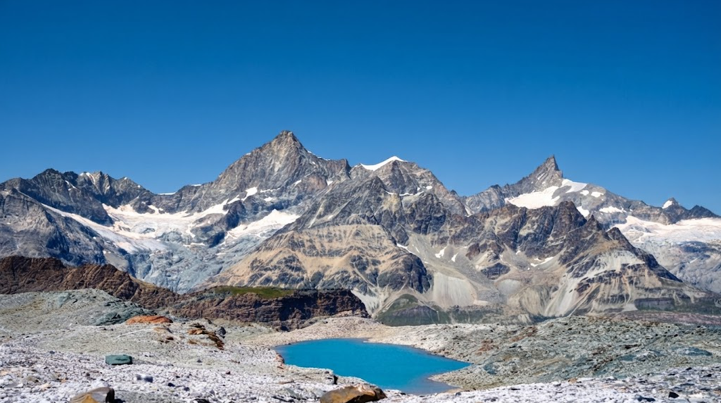
The Matterhorn Glacier Trail is one of the most popular high-altitude hiking routes in Zermatt, Switzerland. It connects Trockener Steg at 2939 meters with Schwarzsee at 2583 meters, offering hikers a direct encounter with the Furgg Glacier and panoramic views of the Matterhorn. This guide provides a detailed factual overview of the trail, including route specifics, seasonal variations, logistics, equipment, and practical advice for visitors.
Trail Overview
The Matterhorn Glacier Trail is approximately 6.5 to 6.6 kilometers long. The average walking time is between two and three hours, though most hikers spend four to four and a half hours when factoring in cable car rides, photo stops, and breaks.
The trail involves an elevation gain of 490 meters and a descent of 140 meters, with the lowest point at 2570 meters and the highest point at 2928 meters. Difficulty is rated as easy to moderate. The trail is relatively short and does not involve technical climbing or exposed sections.
However, the altitude above 2500 meters can make the hike more demanding, especially for those not accustomed to thinner air. The terrain consists mainly of gravel paths, dirt tracks, and rocky sections, requiring sturdy footwear.
Seasonal Access
The trail is accessible in both summer and winter, though conditions vary significantly. From June to September, the summer season offers dry paths, alpine vegetation, and clear views of the Matterhorn. Families and casual hikers often choose this period, as the trail is straightforward and weather conditions are generally stable.
From December to April, the trail becomes a snowshoe route. Winter access requires a qualified mountain guide due to snow cover and potential hazards. The landscape is transformed into a pristine winter environment, with silence and snow dominating the experience.
Route Details
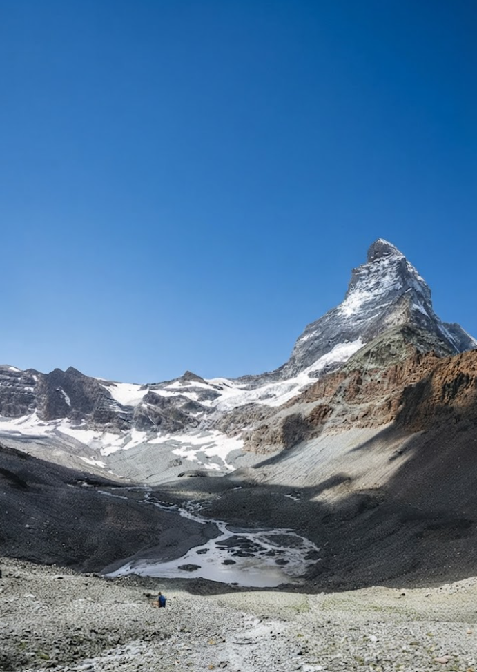
The trail can be completed in either direction. Starting from Schwarzsee involves a 1.4-kilometer uphill walk with a 200-meter incline to reach the plateau where the glacier trail begins. This section provides views of Lake Schwarzsee and the Edelweissweg Trail. From the plateau, the trail continues toward the Furgg Glacier.
Along the way, hikers encounter glacier rivers, moraines, and stones of varying colors, evidence of glacial retreat. Twenty-three information boards are placed along the route, explaining geological processes, glacial history, and the formation of valleys.
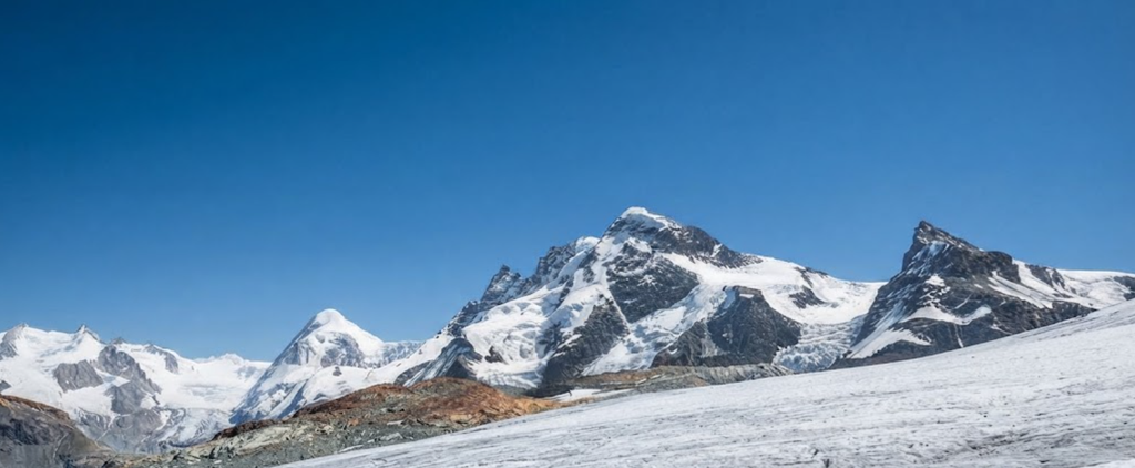
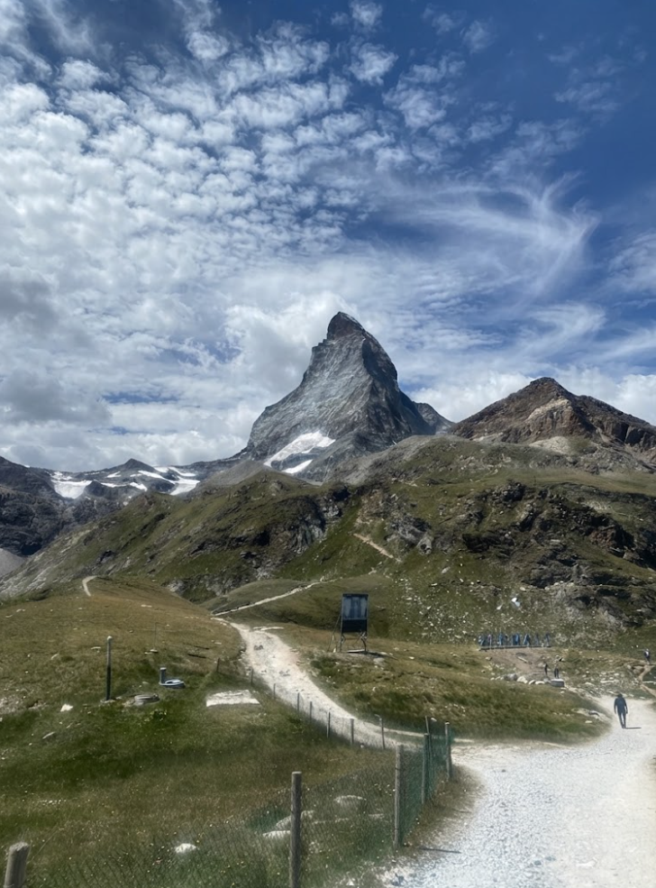
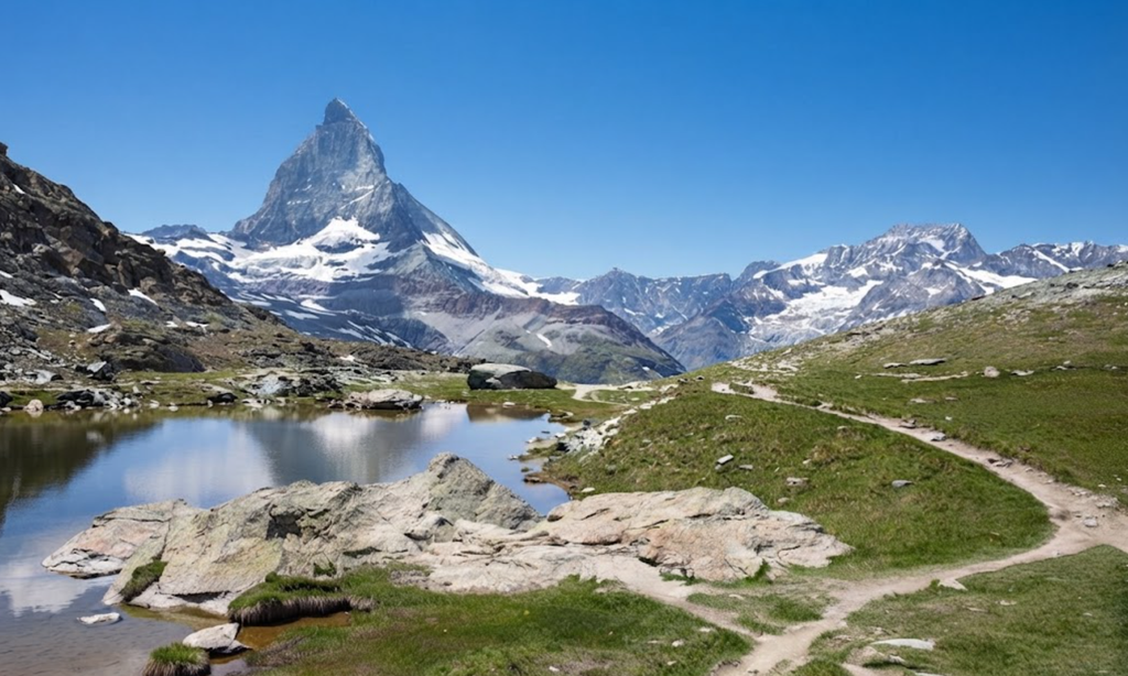
Approaching Trockener Steg, the panorama widens to include Klein Matterhorn, Glacier Paradise, Breithorn, and the Monte Rosa massif. The Matterhorn remains visible throughout the hike, dominating the skyline.
Key Highlights
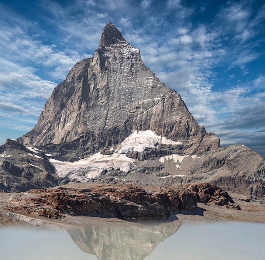
The Matterhorn Glacier Trail offers several notable features. The proximity to the Furgg Glacier allows hikers to feel cold winds descending from the ice. The colored stones scattered along the path illustrate the passage of time and the glacier’s influence on the landscape.
Glacier rivers provide natural points of interest, while the information boards add educational value. The views are among the most significant highlights. The Matterhorn is visible from multiple angles, while distant peaks such as Breithorn and Monte Rosa add to the alpine panorama.
Optional Detour to Hörnlihütte
From Schwarzsee, hikers can take a detour to the Hörnlihütte, the basecamp for Matterhorn climbers. The detour begins 1.3 kilometers after the Schwarzsee cable car station. This route is more demanding but provides insight into mountaineering culture and preparation for ascents of the Matterhorn.
Logistics and Tickets
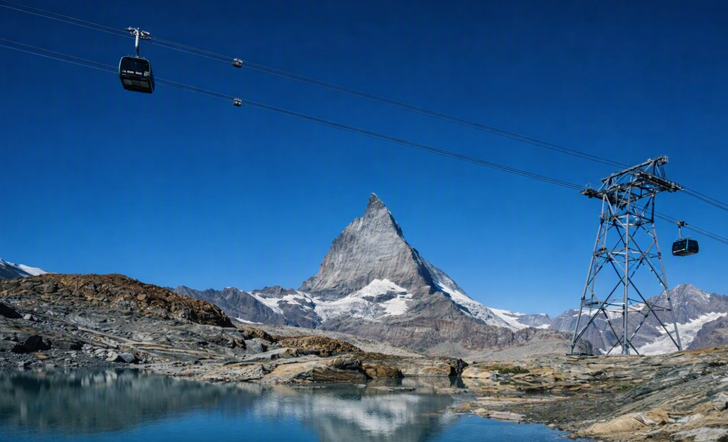
Access to the trail requires cable cars from Zermatt. The Zermatt cable car station is located about 15 minutes’ walk from the Zermatt train station.Several ticket options are available. The Kombi-Ticket includes one trip from Zermatt to Trockener Steg and one return trip from Schwarzsee to Zermatt.
The Peak Pass offers unlimited rides on routes including Glacier Paradise, Rothorn, Gornergrat, and Furi–Riffelberg. For travelers spending more time in Switzerland, the Swiss Travel Pass provides unlimited train, bus, and boat travel across 90 cities, plus entry to over 500 museums.Cable cars generally operate between 08:30 and 16:30, though schedules should be confirmed in advance.
Equipment and Preparation
Proper equipment is essential for safety and comfort. Recommended clothing includes breathable merino or technical shirts, waterproof jackets, insulating puffer jackets, and hiking pants or shorts. Footwear should be sturdy hiking boots with good grip.
Accessories such as sunglasses with Category 4 UV protection, gloves, caps or beanies, buffs, and sunscreen with SPF 50 are necessary due to altitude and sun exposure. Trekking poles are useful for stability, and low gaiters can help with gravel. A backpack of 25 to 35 liters should carry snacks, drinks, a thermos, and a first-aid kit.
Optional items include swimming clothes and a dry-fast towel for overnight stays. For camping, tents, sleeping mats, sleeping bags, cooking equipment, and headlamps are required.
Safety Considerations
Altitude can cause shortness of breath or fatigue. Hikers should pace themselves and stay hydrated. Weather conditions can change rapidly, so waterproof and insulating layers are essential. Gravel paths require sturdy footwear to prevent slips. In winter, snowshoeing requires professional guidance. Cable car schedules must be checked to avoid being stranded.
Access to Zermatt
Zermatt is a car-free town. Visitors must arrive by train or park in Täsch and take the shuttle train. Once in Zermatt, the cable car station provides access to Schwarzsee and Trockener Steg.
Accommodation in Zermatt
Zermatt offers a wide range of accommodations, from luxury hotels to budget lodgings. Over 90 options are available, evaluated by star ratings, guest reviews, location, amenities, and design. Staying in Zermatt provides convenient access to cable cars and other alpine routes.
Additional Activities
Beyond hiking, Zermatt offers mountain biking in summer and snowshoeing in winter. Photography is popular, especially with telephoto lenses for distant peaks. Adventure sports such as paragliding and skydiving are available in Interlaken. The Swiss Travel Pass includes entry to museums such as the FIFA World Football Museum and the Olympic Museum.
Educational Value
The Matterhorn Glacier Trail is not only a recreational hike but also an educational experience. The 23 information boards provide scientific explanations of glacial retreat, valley formation, and geological processes. This makes the trail suitable for families and school groups, combining outdoor activity with learning.
Upshot
The Matterhorn Glacier Trail is a 6.5-kilometer high-altitude hike between Trockener Steg and Schwarzsee. It is accessible in both summer and winter, with cable cars providing easy entry. The trail features glacier rivers, colored stones, and panoramic views of the Matterhorn and surrounding peaks.
It is suitable for families and casual hikers, provided they are prepared for altitude and gravel paths. Tickets such as the Kombi-Ticket, Peak Pass, and Swiss Travel Pass simplify logistics. The trail combines natural beauty, educational value, and accessibility, making it one of the most significant hiking experiences in Zermatt.
Whether approached as a summer hike, a winter snowshoe tour, or a detour on a longer alpine journey, the Matterhorn Glacier Trail offers a direct encounter with the legacy of glaciers and the grandeur of the Matterhorn.