
Introduction
The hike from Schynige Platte to First is one of the most rewarding day walks in the Bernese Oberland. It combines historic transport, alpine ridges, and views of the Eiger, Mönch, and Jungfrau. The Railway to Schynige PlatteThe journey begins at Wilderswil station, where the rack railway climbs 1,420 metres over 7.3 kilometres to reach Schynige Platte.
Opened in 1893 and electrified in 1914, it remains one of Switzerland’s highest mountain railways. The ascent takes around 50 minutes, passing through woodland before opening onto alpine meadows. Views of Lake Brienz and Interlaken appear through the trees, while tunnels and steep gradients showcase the engineering of the rack system, capable of handling inclines of 1 in 4. The train itself is a living museum, with carriages that retain their historic character.
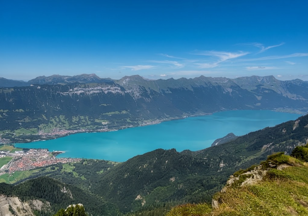
Arrival at Schynige Platte
At 1,987 metres, the station offers immediate panoramas of the Oberland. Behind the platform lies the Alpine Botanical Garden, containing over 600 species of alpine plants. This garden is often overlooked by hikers rushing toward Faulhorn, yet it provides a fascinating introduction to the flora of the region. The station itself is a hub, with trails branching toward ridge walks and pastures. The atmosphere here is one of anticipation, as hikers prepare for a long day on the trail.
Choosing the First Path
From the station, hikers face an initial choice. The Panoramaweg, following the ridge via Oberberghorn, offers sweeping views of Lake Brienz. The pasture route, more direct, is preferable in mist or rain. Both paths converge before the Laucherhorn, ensuring that whichever option is taken, the trail continues toward the Sägistal valley.
The Panoramaweg is the more rewarding option in clear weather, with vantage points that reveal the twin lakes of Thun and Brienz and the town of Interlaken nestled between them.
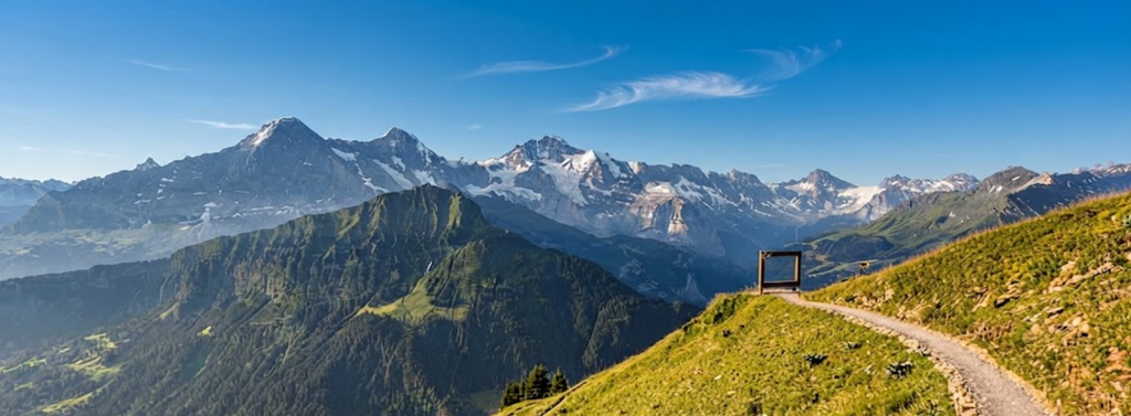
The Sägistal Valley
The trail rises along the right flank of the Sägistal, overlooking its small lake and the emerald waters of Lake Brienz beyond. This section is notable for its contrast between rocky terrain and open vistas. The climb becomes steeper near the head of the valley, with fixed chains assisting hikers on exposed sections. The valley itself is a classic glacial formation, carved by ice and water, and its scale is best appreciated from the trail above.
The Weber Hut
A rest stop at the Weber Hut provides refreshments and a pause before one of the steepest climbs of the trail. This section leads to the ridge above Grindelwald, where the Eiger, Mönch, and Jungfrau dominate the skyline. The hut is strategically placed, offering shelter and sustenance before the demanding ascent. Many hikers choose to pause here, not only for food and drink but also to take in the views of the surrounding peaks.
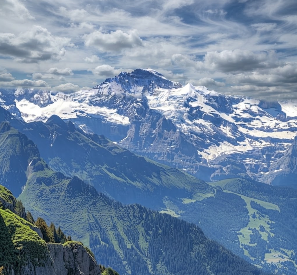
The Faulhorn Summit
At 2,681 metres, Faulhorn is a pyramid-shaped peak capped by a simple hotel and restaurant. The building dates back to 1830, making it one of the oldest mountain hotels in the Alps. From the summit, views extend across the Oberland, encompassing glaciers, ridges, and valleys. Hikers may choose to climb to the top or skirt the base, depending on conditions and stamina. The Faulhorn is a landmark of the hike, both for its altitude and for its history.
Descent to Bachsee
From Faulhorn, the trail descends steeply over rock slabs before easing into broader paths. The destination is the Bachsee, a lake renowned for its reflections of the Grindelwald peaks. This section often marks the transition from solitude to crowds, as many visitors walk from First to the lake as a short excursion. The descent is demanding, but the reward is immediate, with the lake appearing suddenly against the backdrop of snow-capped peaks.
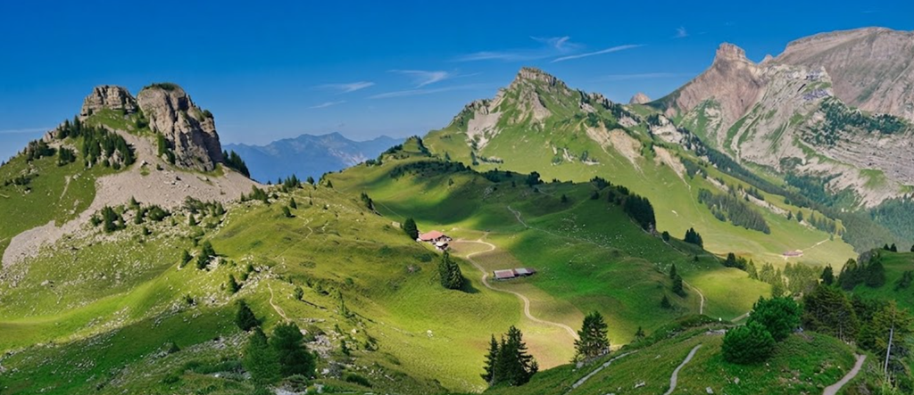
The Bachsee Experience
At the lake, hikers often pause to soak their feet in icy water or rest along the shore. Streams feed into the lake, offering natural spots for cooling down. The Bachsee is a focal point of the hike, combining accessibility with dramatic scenery. It is here that the trail’s character changes, from the relative solitude of the ridge to the busier paths closer to First.
Final Stretch to First
The last kilometres to First are gentle, with wide paths and constant views of the Grindelwald range. Paragliders frequently launch from the slopes, their sails bright against the sky. The gondola station at First provides access back to Grindelwald, while the terrace offers coffee and cake as a reward for completing the hike. This final section is less demanding, allowing hikers to reflect on the journey and enjoy the spectacle of the valley below.
Transport Connections
From Grindelwald, connections extend across the Oberland. Trains run to Wengen and Lauterbrunnen via Kleine Scheidegg. Gondolas ascend to Männlichen, linking to Wengen by cable car. Regional passes, though expensive, cover trains, buses, boats, and cable cars, making multi-day hiking practical and flexible. The transport network is one of the strengths of the region, allowing hikers to combine trails and create varied itineraries.
Practical Considerations
The hike covers approximately 16 kilometres and takes 6–7 hours depending on pace and stops. Altitude ranges between 1,987 metres and 2,681 metres. The difficulty is moderate to challenging, with steep sections and exposure. The best season is from June to October, when snow has cleared from higher sections. Weather can change quickly, and hikers should be prepared for sudden shifts in temperature and visibility.
Historical Context
The Schynige Platte Railway reflects Switzerland’s tradition of mountain transport. Its electrification in 1914 marked a shift toward sustainable operation. The Faulhorn hotel, dating to the early 19th century, illustrates the long history of alpine tourism in the region.
Together, these elements frame the hike not only as a physical journey but also as a passage through cultural and historical landscapes. The combination of engineering and hospitality is characteristic of the Swiss approach to the mountains.
Comparison with Other Oberland Trails
The Bernese Oberland offers numerous hikes, but Schynige Platte to First stands out for its combination of accessibility and scenery. Other notable routes include the Meiringen to Gstaad traverse, a longer challenge across varied terrain, the Lauterbrunnen Valley trails, with waterfalls and car-free villages, and the Männlichen to Kleine Scheidegg ridge walk, a shorter option with views of the Eiger.
Each trail has distinct features, but Schynige Platte to First remains one of the most comprehensive introductions to hiking at the 2,000-metre line.
Upshots
The hike from Schynige Platte to First is a factual showcase of the Bernese Oberland’s geography, history, and infrastructure. It combines rack railways, alpine ridges, historic hotels, and accessible transport links. For many, it is the hike most often repeated, not because it is easy, but because it encapsulates the essence of the region: dramatic peaks, clear lakes, and a seamless blend of nature and human ingenuity.