
After the demanding ascent to Blüemlisalphütte, the plan was to close the season with a hike that balanced accessibility with scenery. The Gemmipass route from Sunnbüel offered exactly that: a historic crossing of the Alps, a manageable ascent, and landscapes that remain etched in memory.
Historical Significance of Gemmipass
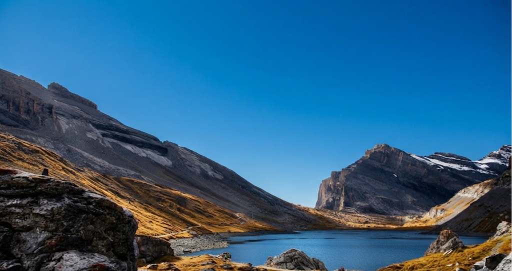
The Gemmipass sits at approximately 2,400 metres, linking the Bernese Oberland with the canton of Valais. Historically, it was more than a hiking trail. The Celts, Romans, and Alemanni once crossed here, using the pass as a vital north–south route. Later, nobility, writers, and artists followed, drawn by its wild beauty and the thermal baths of Leukerbad.
Goethe, Mark Twain, Lenin, and Picasso are among the names associated with the Gemmi Trail ascent. Today, Gemmipass is recognised as the “Klassiker der Schweizer Wanderklassiker” – the classic of Swiss hiking classics.
Access and Transport
From Kandersteg to Sunnbüel
The starting point for most hikers is the Sunnbüel cable car station. To reach it:Take the train to Kandersteg.From the station, bus 241 departs hourly towards Talstation Sunnbüel. The ride takes about ten minutes.Alternatively, walk the 3 km to the valley station.
Cable Car Details
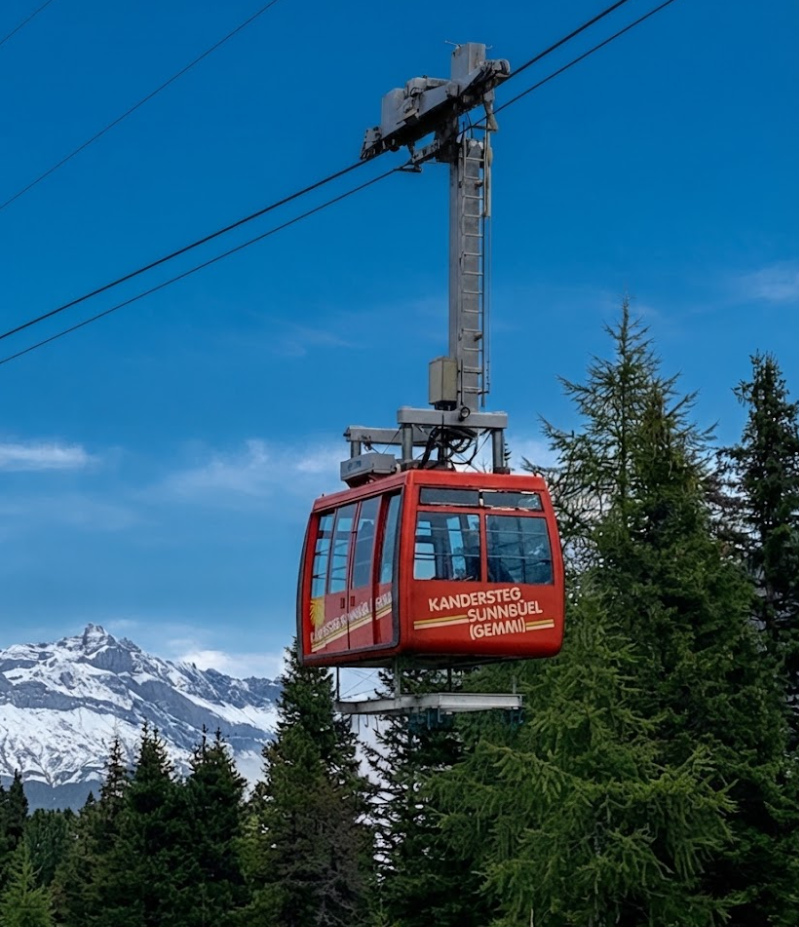
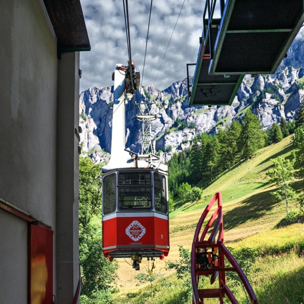
The Sunnbüel cable car reduces the ascent significantly, making the hike accessible to a wider range of walkers. Note: as of August 2021, the mountain station only accepted cash payments.
From Leukerbad
On the southern side, trains run through the Rhône Valley towns – Sion, Sierre, Visp, and Leuk. From Leuk station, buses connect to Leukerbad (1,411 m). The road is steep, with switchbacks, and takes about 30 minutes. From Leukerbad, it is an 11-minute walk or a short bus ride to the Gemmi cable car.
Hike Statistics
Starting Point: Sunnbüel cable car station
Ending Point: Sunnbüel (loop) or Gemmibahn top station, Leukerbad (one-way)
Distance: 18.9 km (loop) or 8.6 km one way
Moving Time: 4h 17m (loop)
Total Ascent: 620 m (loop) | 120 m ascent, 526 m descent (one-way northbound)
Difficulty: Easy to moderate depending on direction
Duration: 2h30–4h depending on route
Family-Friendly: Yes, suitable for children with hiking experience.
Landscape Overview
The Gemmipass trail is one of Switzerland’s most celebrated alpine crossings, not only for its historical significance but also for the sheer variety of landscapes it presents in a single hike. Unlike routes that demand extreme stamina or technical climbing, Gemmipass offers accessibility while still immersing hikers in environments shaped by geology, ecology, and centuries of human passage.
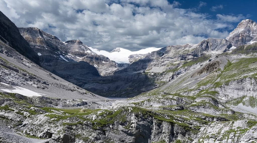
The following sections break down the landscapes encountered along the trail, each contributing to its reputation as a classic of Swiss hiking.
Boulder-Strewn Terrain
Geological Formation
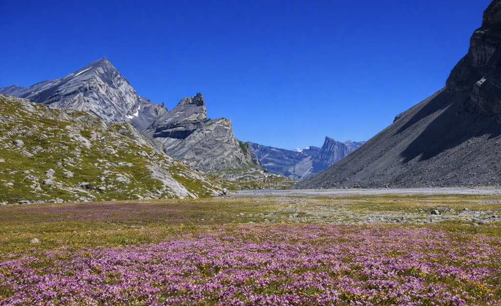
The opening sections of the trail reveal expanses of boulder fields. These formations are the result of glacial retreat and weathering processes over thousands of years. The boulders, scattered across the plateau, vary in size from small rocks to massive blocks resembling sculptures.
Hiking Experience
Walking through these areas requires careful footing but no technical equipment. The terrain is uneven yet manageable, offering hikers a tactile sense of the mountain’s raw geology. The boulders often appear weather-beaten, their surfaces marked by lichen and erosion.
Visual Impressions
Many hikers note that the boulders resemble figures or creatures when viewed from certain angles. This imaginative quality adds character to the trail, making the landscape feel alive.
Alpine Lakes – Daubensee
Location and Elevation
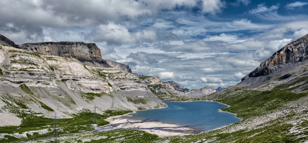
Daubensee sits at 2,207 metres, a prominent feature of the Gemmipass route. It is one of the largest alpine lakes in the region, stretching across the plateau with a calm surface that reflects surrounding peaks.
Ecological Role
The lake supports alpine flora and provides habitat for bird species. Its waters are fed by snowmelt and rainfall, contributing to the hydrology of the pass.
Hiking Perspective
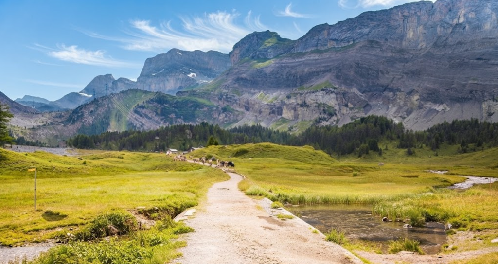
The main trail runs along the right-hand side of Daubensee, offering easier passage compared to the more challenging left-hand path. The lake serves as a natural midpoint, giving hikers a chance to pause and absorb the scale of the landscape.
Seasonal Variation
In summer, Daubensee’s waters are clear and expansive. In winter, the lake freezes, transforming into a stark white plain used for winter walking and sports.
Rugged Cliffs
Geological Character
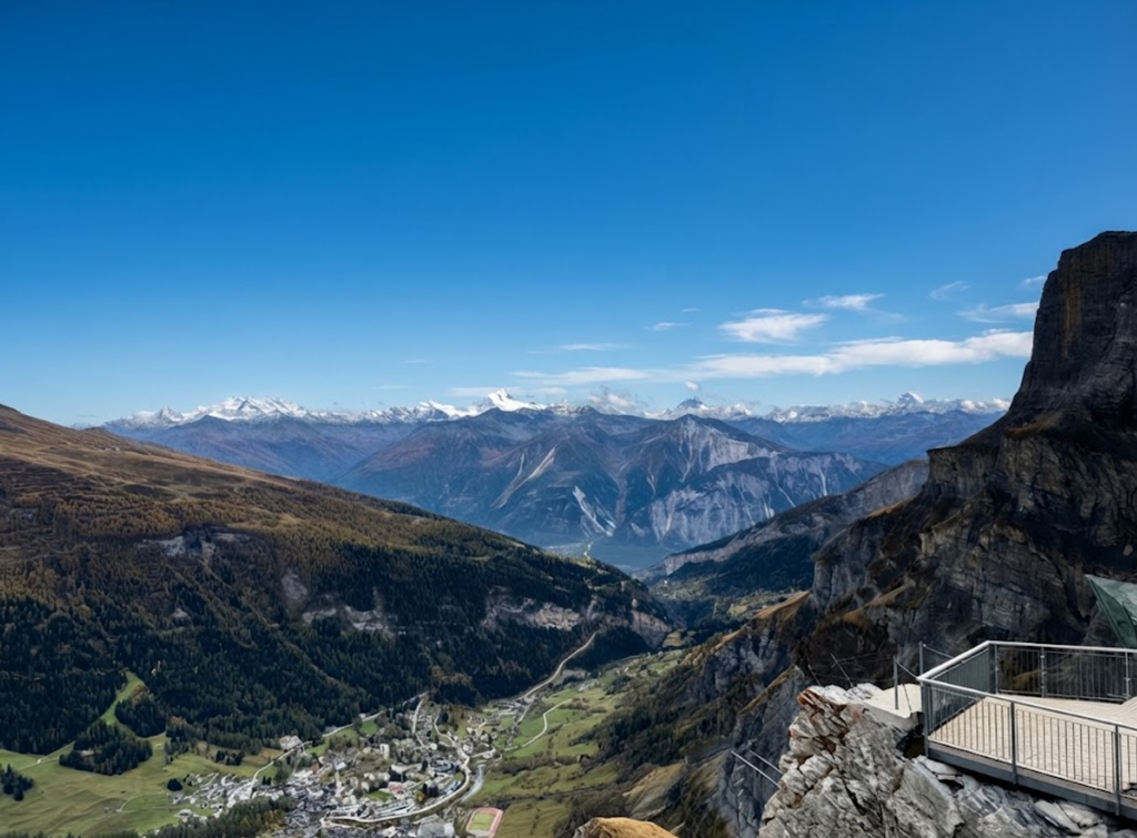
Beyond the lake, cliffs rise abruptly, framing the trail with vertical walls of rock. These cliffs are part of the northern Alpine chain, shaped by tectonic uplift and glacial carving.
Hiking Impact
The cliffs provide dramatic scenery without posing danger to hikers. The trail is wide and well-maintained, keeping vertigo risks minimal.
Cultural Significance
Historically, these cliffs symbolised the barrier between regions. Crossing them was once a feat of endurance, now made accessible by cable cars and marked paths.
Meadows and Ancient Trees
Ecological Diversity
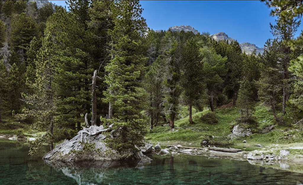
Descending from rocky terrain, hikers encounter meadows dotted with ancient trees. These meadows are rich in alpine grasses and wildflowers, changing colour with the seasons.
Wildlife Habitat
The meadows provide grazing grounds for cattle and habitat for smaller animals. Marmots are commonly seen here, darting into burrows at the sound of footsteps.
Hiking Atmosphere
The meadows offer a softer contrast to the cliffs and boulders. Walking through them feels restorative, with open views and gentler terrain.
Wildlife Encounters
Marmots
Marmots are among the most visible animals along the Gemmipass trail. They inhabit burrows in meadows and rocky slopes, often seen basking in the sun or retreating quickly when disturbed.
Butterflies
The Dark Green Fritillary is a notable species in the area. Despite its name, the butterfly’s wings appear orange with black spots on the upper side, while the greenish hue is visible underneath. Their presence adds vibrancy to the trail.
Birdlife
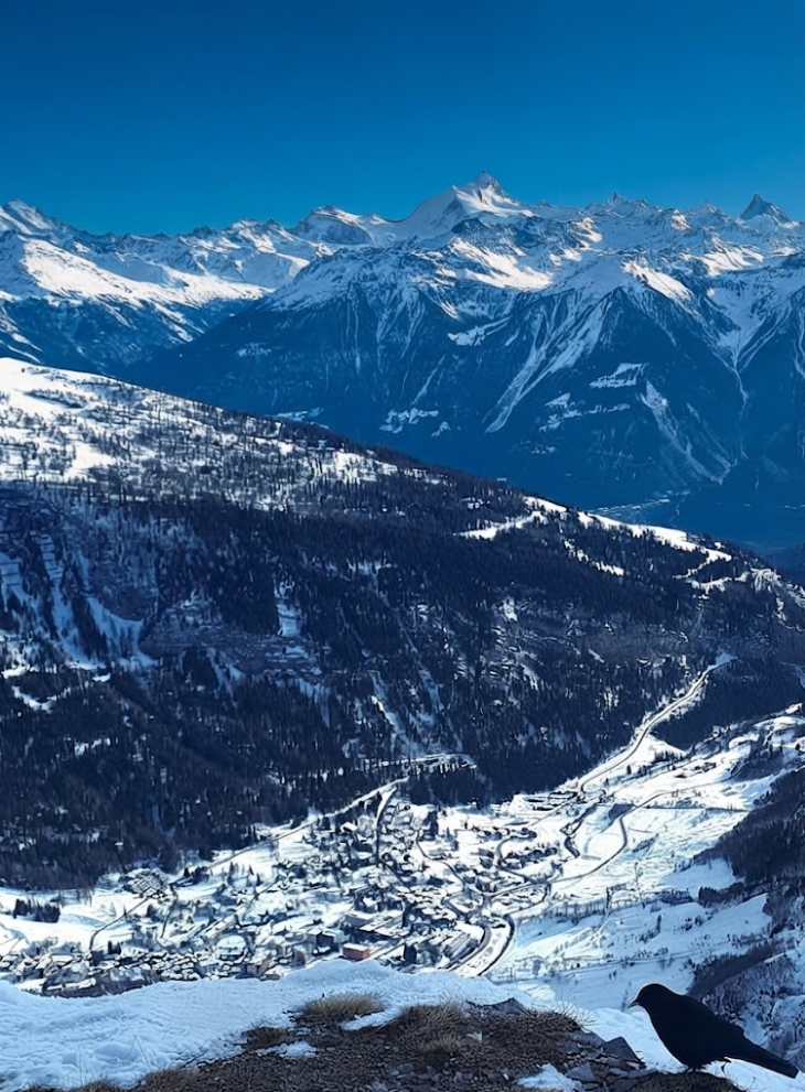
Alpine choughs are frequently observed circling cliffs. Their calls echo across the valley, contributing to the soundscape of the hike.
Human Interaction with the Landscape
Historical Crossing
The Gemmipass was once a vital route for Celts, Romans, and Alemanni tribes. Later, it became a passage for nobility and artists. The landscape shaped their journeys, offering both challenge and inspiration.
Modern Hiking Infrastructure
Today, signage, cable cars, and restaurants make the landscape accessible. The balance between preservation and accessibility is evident throughout the trail.
Seasonal Changes in Landscape
Summer
In summer, meadows bloom, lakes shimmer, and wildlife is active. The trail is busiest during this season, with families and casual hikers taking advantage of the easy terrain.
Autumn
Autumn brings golden hues to the meadows and clearer air. Crowds thin, and the landscape feels more contemplative.
Winter
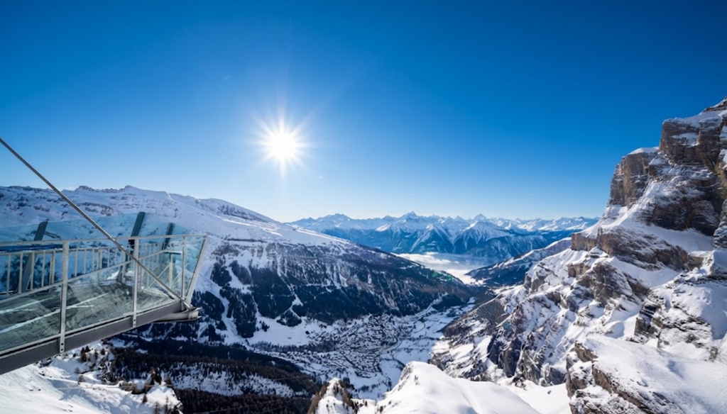
In winter, the pass transforms into a snow-covered plateau. The frozen Daubensee becomes a highlight, and the trail supports winter walking and sports.
Spring
Spring is marked by melting snow and emerging flora. The landscape shifts rapidly, with streams forming from snowmelt.
Comparative Landscape Value
The Gemmipass trail is often compared to more demanding alpine routes. While it lacks extreme ascents, its diversity of landscapes compensates. Boulder fields, lakes, cliffs, meadows, and wildlife combine to create a comprehensive alpine experience.
Practical Considerations for Hikers
Footwear: Sturdy hiking boots recommended for uneven terrain.
Equipment: No technical gear required.
Refreshments: Available at Schwarenbach and Sunnbüel.
Signage: Clear yellow wanderweg markers throughout.
Family Suitability: Appropriate for children with hiking experience.
The Gemmipass landscape is a microcosm of the Swiss Alps. Each section of the trail offers distinct environments, from geological formations to ecological habitats. The diversity ensures that hikers experience a full spectrum of alpine scenery without extreme physical demands. This combination of accessibility and variety cements Gemmipass as a classic route, rewarding both casual walkers and seasoned hikers.
Route Description
Sunnbüel to Schwarenbach
From the cable car station, the valley opens with views towards Hotel Schwarenbach. The tourist path runs level with the hotel, while a higher ridge route offers solitude and richer encounters with nature. The ridge path is less frequented, with marmots darting into burrows and butterflies filling the air.
Schwarenbach to Daubensee
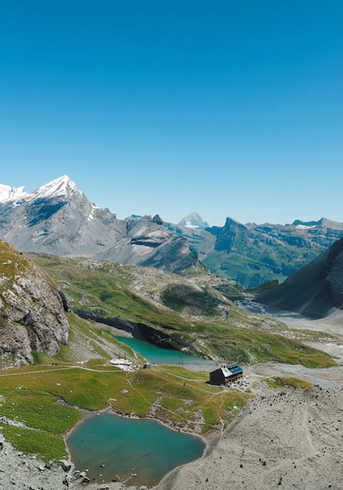
The trail continues towards Daubensee, a large alpine lake. The main path runs along the right-hand side, easier than the alternative left-hand path. The lake provides a natural midpoint, with sweeping views across the plateau.
Daubensee to Gemmipass
Beyond the lake, the trail descends through rocky terrain. Weathered boulders line the path, many resembling strange figures when viewed imaginatively. The descent leads towards Gemmipass, where the trail divides:Left towards Gemmipass and Leukerbad.Right towards Lämmerenhütte, an additional 8 km extension.
Arven Forest Diversion
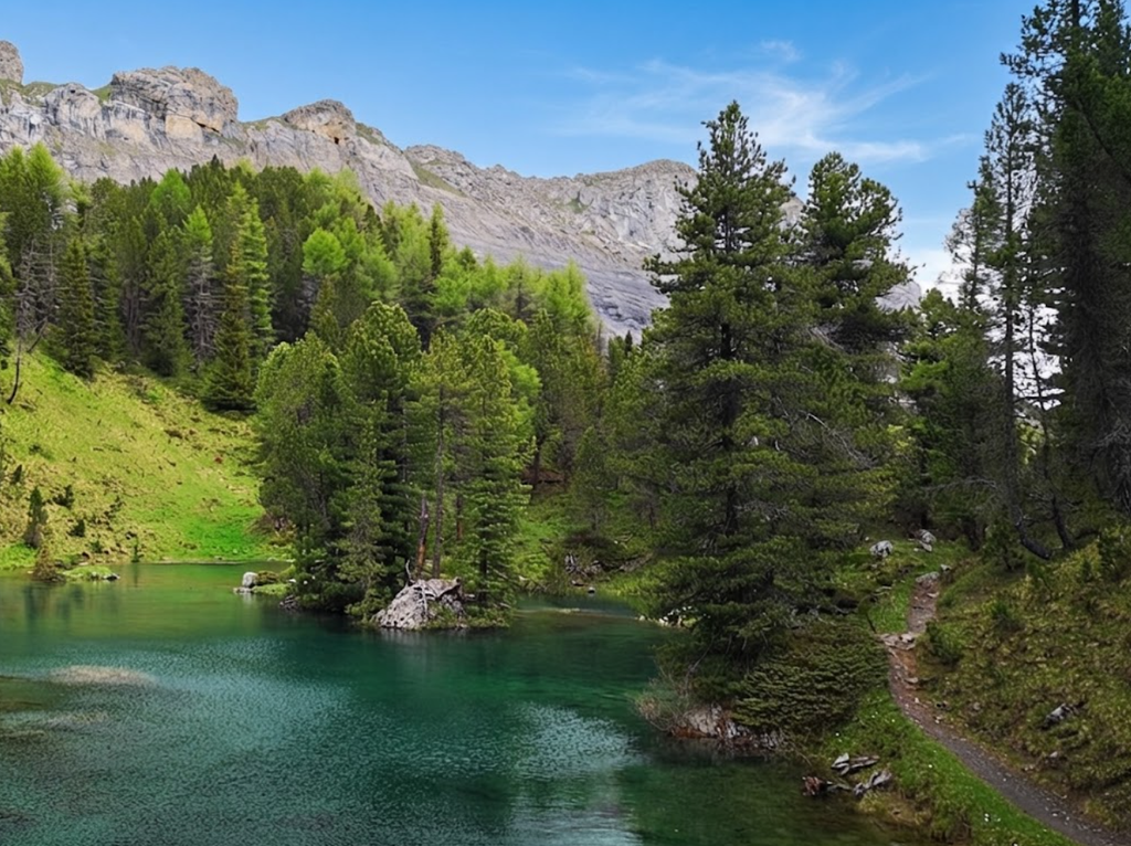
After about 6 km, a marked circular path leads into the Arvenwald. This diversion adds 2 km and passes two small lakes, Arvenseeli, though they often dry up in summer.
Final Section to Sunnbüel
The trail concludes at Bergrestaurant Sunnbüel, overlooking the Gasterntal. Cable cars depart every 30 minutes, more frequently during busy periods. Walking down instead of taking the cable car is possible but less common.
Difficulty and Technique
Northbound (Leukerbad to Sunnbüel): Easy, mostly downhill, suitable for families.
Southbound (Sunnbüel to Leukerbad): Moderate, steady climb requiring stamina.
Gemmi Trail Ascent: From Leukerbad, 900 m in 2 hours – extremely challenging. Good hiking boots are recommended, though no special equipment is necessary.
Seasonal Considerations
Best Time: June to October.
Winter: The pass is also accessible for winter walking and sports.
Weather: Conditions can change quickly at altitude; check Leukerbad Tourism for updates.
Practical Information
Refreshments: Available at Schwarenbach and Sunnbüel.
Toilets: At both ends and midway.
Signage: Clear yellow wanderweg markers throughout.
Payment: Cable cars may require cash.
Transport: Buses from Kandersteg run hourly; trains connect Leuk to the Rhône Valley.
Personal Reflection
Although designed as a lighter hike, Gemmipass proved memorable. The ridge path offered solitude, wildlife encounters, and views that rival more strenuous routes. The decision to skip Lämmerenhütte preserved energy for future seasons, while the loop back to Sunnbüel provided closure.
The Gemmipass hike from Sunnbüel is a classic Swiss route combining accessibility, history, and natural beauty. Whether completed as a loop, a one-way crossing, or extended towards Lämmerenhütte, it offers a rewarding experience without extreme difficulty. Its popularity is justified, yet with small diversions, solitude remains possible.
For families, casual hikers, and those seeking a final alpine memory without excessive strain, Gemmipass is ideal. It stands as both a historical crossing and a modern hiking classic – a fitting finale to a season in the Bernese Oberland.