
The Tour du Mont Blanc (TMB) is one of the world’s classic long-distance hikes, circling Mont Blanc through France, Italy, and Switzerland. The full circuit covers 170 km (105 miles), crosses 10 mountain passes, and typically takes 9 to 11 days. Planning the trek is often more challenging than the hike itself, with multiple start points, flexible itineraries, and countless options for accommodation.
Route Overview
Most hikers begin in Chamonix, France, following the traditional counter-clockwise direction. Others start in Champex, Switzerland, to hike clockwise. Les Houches, just 25 minutes by bus from Chamonix, is another common starting point. The trail is accessible from Geneva airport in about 90 minutes via shuttle services such as AlpyBus, making it easy to reach.
The route passes through three countries—France, Italy, and Switzerland—offering varied landscapes, cultures, and food along the way. While the full trek takes 10–11 days, hikers can choose shorter sections, from single-day hikes to week-long journeys.
Day-by-Day Itinerary
Day 1: Les Houches to Les Contamines
The opening stage of the Tour du Mont Blanc sets the tone for the days ahead. Covering 16 kilometers with an elevation gain of +646 meters and a descent of -633 meters, it demands attention from the very first step. The estimated time is five to six hours, though conditions and pacing can stretch that further. This is not a gentle introduction; it is a deliberate test of fitness, endurance, and preparation.
The Initial Climb
Leaving Les Houches, the trail rises steeply. The climb is immediate and unrelenting, designed to challenge hikers before they have settled into rhythm. Muscles warm quickly, lungs adjust to the effort, and the reality of the trek becomes clear. The ascent is not only physical but mental, requiring focus and determination.
The Descent
After the climb comes a steep descent. The shift from uphill strain to downhill control is abrupt. Knees and ankles take the pressure, and concentration is essential to avoid missteps. The descent is as demanding as the climb, reminding hikers that elevation loss can be as taxing as elevation gain.
The Undulating Track
Once the initial extremes are complete, the trail settles into a rolling rhythm. The undulating track carries hikers across varied terrain, alternating between short climbs and gentle descents. This section allows recovery while still requiring steady effort. It is here that the balance of the day is found, a mix of challenge and relief.
Accommodation Options
Les Contamines offers extensive accommodation choices. From camping grounds to hotels, the range suits all budgets. Refuges along the way provide alternatives for those who prefer shorter stages. Refuge du Fioux lies about two hours and forty minutes from Les Houches, while Bionnassay and Le Champel are reachable in three and a half hours. Each option allows flexibility in planning, whether stopping early or pressing on to the village.
Testing Fitness
Day 1 is designed to measure preparation. The steep climb and descent expose weaknesses in training, while the rolling track highlights stamina. Hikers quickly learn whether their fitness program has been sufficient. The stage is not overwhelming, but it is demanding enough to reveal the truth of readiness.
The Character of the Stage
This first day is not about scenery alone. It is about establishing rhythm, understanding the terrain, and respecting the demands of the circuit. The trail is varied, the effort consistent, and the reward is reaching Les Contamines with the knowledge that the journey has truly begun.
Day 2: Les Contamines to Les Chapieux
The second stage of the Tour du Mont Blanc stretches for 18 kilometers (11 miles) with a significant elevation gain of +1,316 meters (4,318 feet) and a descent of -929 meters (3,048 feet). The estimated time is 7 to 8 hours, though the effort makes it feel longer. This day is often remembered as one of the hardest, not only because of the terrain but because hikers are still adjusting to the rhythm of long days on the trail.
Settling Into the Trek
By the second morning, the novelty of the hike has worn off and the reality of sustained effort begins to sink in. Training in gyms or on short local trails rarely prepares hikers for the relentless demands of alpine trekking. Muscles are sore from the first day, and the body is still adapting to the daily grind. This stage is where many realize that endurance is built on the trail itself, not beforehand.
The Gentle Start
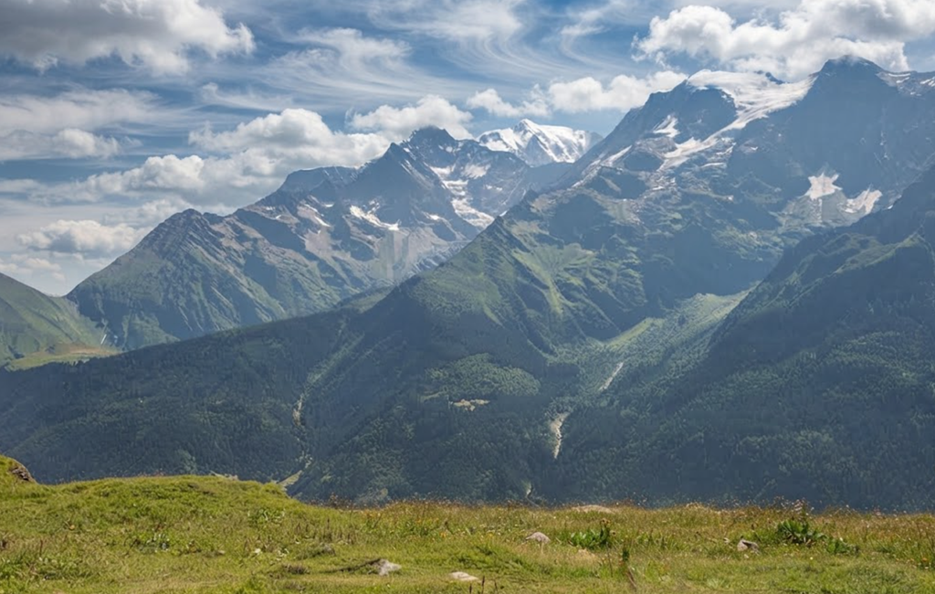
The path out of Les Contamines begins gently, easing hikers into the day. The trail follows the valley, passing through meadows and forested sections. The sound of the river accompanies the walk, and the scenery is calm. This early stretch feels manageable, but it is only a prelude to the challenges ahead.
The Gorge and the Climb
Once past the gorge, the grade increases sharply. The climb is steady and constant, rising toward the Col du Bonhomme. The ascent is long, requiring patience and persistence. Refuges along the way provide welcome breaks. Refuge Nant Borrant and Refuge de la Balme offer coffee, refreshments, and views that justify a pause. Wildflowers appear in abundance as elevation increases, adding color to the effort.
Reaching Col du Bonhomme
After about 3.5 hours of walking, the Col du Bonhomme is reached. The sense of accomplishment is tempered by the knowledge that the climb is not yet finished. Another hour of uphill effort leads to the Col de la Croix, the highest point of the day. The air is cooler, the views wider, and the trail busier with hikers stopping for rest and photographs.
Refuge du Bonhomme
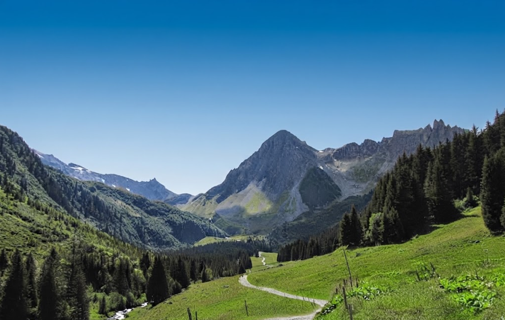
The Refuge du Bonhomme is a lively spot. Lunchtime visitors and overnight guests fill the space, creating a bustling atmosphere. Meals and drinks are available, and the refuge serves as both a waypoint and a destination. For many, it is the highlight of the stage, offering sustenance and camaraderie.
The Importance of Food
By the fifth hour of hiking, hunger becomes a pressing issue. Those who have not packed sufficient snacks feel the strain. Spaghetti carbonara is a popular choice at the refuge, providing energy for the hours ahead. Food is not just fuel; it is morale. A proper meal restores strength and prepares hikers for the demanding descent.
The Steep Descent
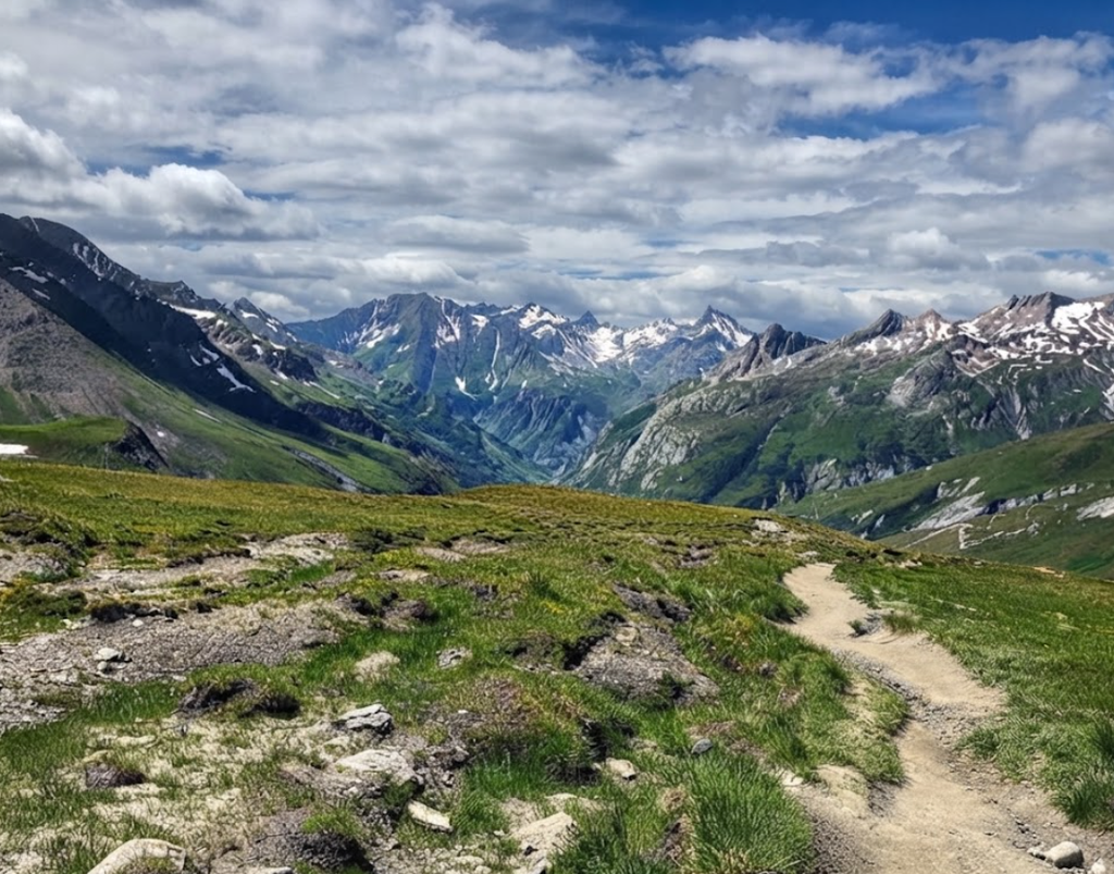
The descent toward Les Chapieux is steep and requires careful attention. Footing is critical, and concentration must remain high. Many find downhill sections harder than climbs, as knees and ankles absorb the impact. Fatigue compounds the difficulty, making this part of the stage particularly challenging.
Arrival in Les Chapieux
Les Chapieux marks the end of the day. Auberge de la Nova provides accommodation with 35 dormitory spaces and 35 beds. Rooms are basic, with shared bathroom and shower facilities. Breakfast and dinner are included, ensuring that hikers are fed and rested. The simplicity of the lodging reflects the remote location, but it is sufficient for recovery.
Lessons from Day 2
This stage teaches the importance of pacing, nutrition, and mental resilience. The climb is long, the descent unforgiving, and the hours demanding. Hikers learn that preparation extends beyond fitness; it includes food, rest, and mindset. The second day is a turning point, separating those who underestimated the trek from those who adapt to its realities.
The Character of the Stage
Day 2 embodies the essence of the Tour du Mont Blanc. It is physically demanding, mentally challenging, and rewarding in equal measure. The scenery is beautiful, the refuges welcoming, and the effort unforgettable. Completing this stage is not just progress along the trail; it is proof of resilience and determination.
Day 3: Les Chapieux to Courmayeur
The third stage of the Tour du Mont Blanc is traditionally divided into two parts: Les Chapieux to Rifugio Elisabetta, and then Rifugio Elisabetta to Courmayeur. Most hikers stop overnight at Elisabetta, breaking the journey into manageable sections. Covering the entire distance in one day, however, transforms the stage into one of the most demanding on the circuit. The combined route stretches 33 kilometers (19.8 miles) with an ascent of 1,464 meters (4,803 feet) and a descent of 1,818 meters (5,964 feet).
Planning the Stage
The Tour du Mont Blanc is notoriously difficult to plan without a proper guidebook and map. Distances and elevation gains appear manageable from the comfort of home, but the reality on the trail is very different. Many hikers underestimate the cumulative strain of consecutive long days. Combining Day 3 and Day 4 into a single push is ambitious, and while possible, it sacrifices the opportunity to enjoy the scenery at a sustainable pace.
The Road from Les Chapieux
Leaving Les Chapieux, the trail follows a tarmac road uphill for nearly an hour. Few hikers choose to walk this section; most take a shuttle to cut out the climb. The road is quiet, and solitude is common. The ascent is steady, and while not technically difficult, it consumes energy early in the day.
Refuge des Mottets
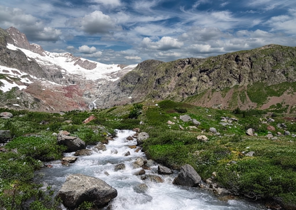
After two hours, the Refuge des Mottets is reached. Once a dairy farm, it now serves as a refuge offering refreshments and lodging. The atmosphere is welcoming, and the stop provides a chance to rest before the climb to the border. The refuge is a reminder of the agricultural history of the region, blending past and present in the alpine landscape.
Climbing to Col de la Seigne
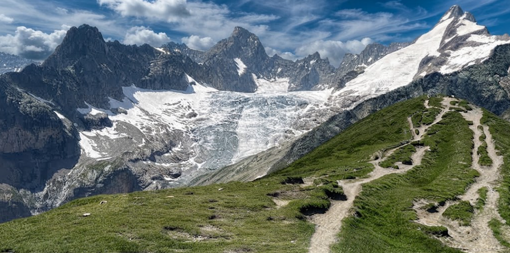
From the refuge, the trail rises for another hour to reach the Col de la Seigne. This pass marks the border between France and Italy. The climb is steady, and the views expand with each step. On clear days, the scenery is spectacular, with rugged peaks dominating the horizon. The pass itself is exposed, and in calm weather it is difficult to leave. The sense of crossing into a new country adds to the significance of the moment.
The Descent to Rifugio Elisabetta
From the pass, the trail descends steeply. Concentration is required, as footing can be tricky. A renovated customs house sits partway down, a reminder of the border’s history. Beyond it, flat pastures provide relief before the final climb to Rifugio Elisabetta. The refuge is reached after four and a half to five hours from Les Chapieux. Food and lodging are available, and camping is possible nearby. Many hikers stop here for the night, breaking the stage into two parts.
Continuing Beyond Elisabetta
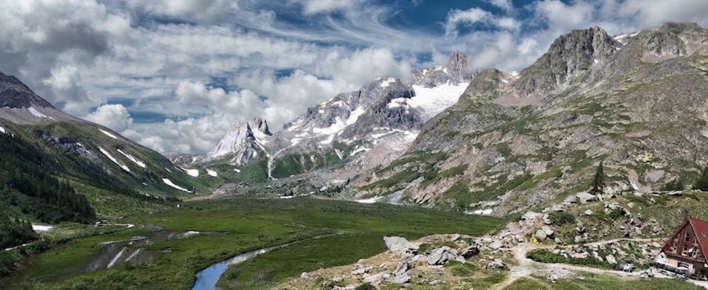
Choosing to continue past Elisabetta transforms the day. The descent begins alongside Lac Combal, a striking alpine lake. The scenery here is superb, with peaks rising above and reflections shimmering in the water. The trail then turns off toward Courmayeur, but those pressing on cross the bridge and descend steeply for half an hour to reach La Visaille.
La Visaille and the Bus
La Visaille is a small community, often busy on weekends with locals. Cars line the road, and the atmosphere contrasts with the solitude of the trail. From here, buses run to Courmayeur every hour to hour and a half. The ride costs only a few Euros and provides a quick connection to the town. Many hikers take advantage of this option, though purists may consider it a shortcut.
Arrival in Courmayeur
Courmayeur is a lively town with extensive accommodation options. Hotel Bouton d’Or is highly recommended, offering friendly service, comfortable rooms, and excellent value among three-star hotels on the circuit. The town provides a welcome contrast to the refuges and dormitories of the trail, with restaurants, shops, and a vibrant atmosphere.
Lessons from Day 3
Attempting to combine 2 stages into 1 highlights the importance of realistic planning. Distances and elevation gains are deceptive when viewed on paper. The physical strain of long days cannot be fully prepared for in advance, and the mental challenge of sustained effort is significant. Allowing for a night at Rifugio Elisabetta ensures that the scenery between the refuge and Courmayeur can be appreciated without exhaustion.
The Character of the Stage
Day 3 is a turning point in the Tour du Mont Blanc. It introduces international borders, showcases alpine scenery, and tests endurance. Whether completed in one day or two, it is memorable for its landscapes and its demands. The stage embodies the balance of beauty and difficulty that defines the trek.
Day 4: Courmayeur to Rifugio Bonatti
The fourth stage of the Tour du Mont Blanc is one of the most rewarding. Covering 12 kilometers (7.2 miles) with an elevation gain of 860 meters (2,820 feet), it typically takes about four and a half hours to complete. Variations can add two to four kilometers, but even the standard route is memorable. Many hikers consider this stage among their favorites, thanks to its scenery, manageable grade, and welcoming refuges.
Leaving Courmayeur
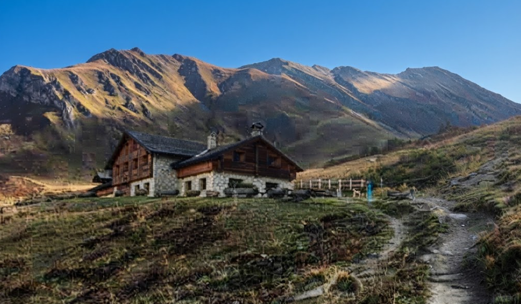
Courmayeur offers ample opportunities to stock up on food before departure. Shops and cafés line the streets, and hikers often take advantage of the variety before heading into the mountains. The trail begins with a steep climb toward Rifugio Bertone, a two-hour ascent that tests stamina early in the day.
The Climb to Rifugio Bertone
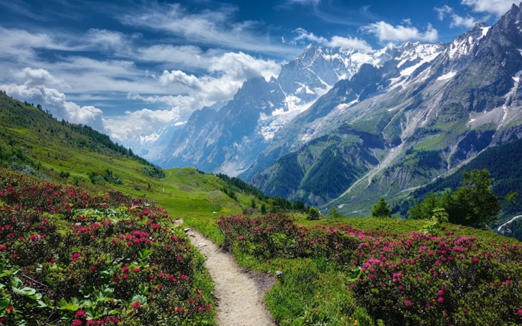
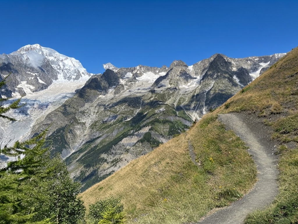
The climb is steep but rewarding. Views of Courmayeur open up below, shrinking with each step upward. Just before reaching the refuge, Mont Blanc and the Aiguille Noire come into view, provided the weather is clear. The sight of these peaks is a highlight, offering a reminder of the grandeur surrounding the trek. Rifugio Bertone itself is a popular stop, providing refreshments and a chance to rest before continuing.
Contouring Around Mont de la Saxe
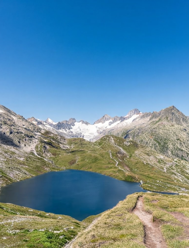
From Rifugio Bertone, the trail contours along the Val Ferret flank of Mont de la Saxe. The grade is gradual, a welcome change after the steep climb. Meadows filled with wildflowers and larch woods line the path, creating a landscape that feels both expansive and intimate. Looking back, hikers can see the Col de la Seigne crossed earlier in the trek. Ahead, glaciers, mountains, and rock walls dominate the view.
The Character of the Walk
This section is often described as one of the most enjoyable on the Tour du Mont Blanc. The combination of gentle grade, varied terrain, and spectacular scenery makes it memorable. Every step offers something new, whether a sweeping vista or a quiet stretch through woodland. Weather plays a crucial role; clear skies transform the day into a showcase of alpine beauty.
Arrival at Rifugio Bonatti
Rifugio Bonatti is reached after about 4.5 hours. The refuge is private, clean, and well-designed. Accommodation includes private rooms with shared bathrooms and numerous dormitory spaces. Meals are included in the price of private rooms, and food is plentiful. A token system provides access to short but hot showers, so bringing a small towel is recommended. Payment is required in cash, and reservations are advised.
Comfort and Civilization
Despite its remote location, Rifugio Bonatti feels civilized. The facilities are well-maintained, the food is satisfying, and the atmosphere is welcoming. After a day of hiking, the refuge provides not only shelter but comfort. It is a place to rest, recover, and prepare for the stages ahead.
Lessons from Day 4
This stage demonstrates the balance of challenge and reward that defines the Tour du Mont Blanc. The steep climb tests endurance, the contouring path offers relief, and the scenery elevates the experience. Rifugio Bonatti provides a fitting conclusion, combining practicality with hospitality. For many, Day 4 stands out as a favorite, embodying the essence of the trek.
Day 5: Rifugio Bonatti to La Fouly
The fifth stage of the Tour du Mont Blanc covers 20 kilometers (12 miles) with an elevation gain of +895 meters (2,936 feet) and a descent of -1,410 meters (4,625 feet). It is a long day, and under poor weather conditions it can become one of the most difficult. Accommodation options are scattered along the route, including Arnuva, Rifugio Elena, La Peule, Ferret, and La Fouly. Food is available wherever lodging exists, and in Switzerland both Euros and Swiss francs are accepted.
A Difficult Start
The day began under heavy skies, with clouds threatening rain from the outset. Within fifteen minutes, mist turned into drizzle, and the trail quickly deteriorated. A minor slope became a mudslide, forcing hikers to grab branches and slide from clump to clump of vegetation to reach the valley floor. Progress was slow, and spirits were dampened early.
Climbing to Rifugio Elena
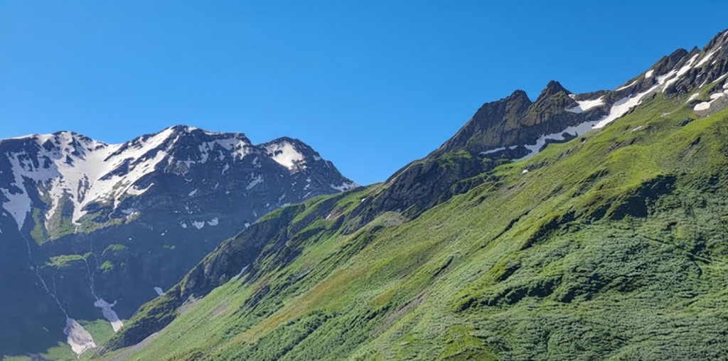
The trail rose toward Rifugio Elena, where hot coffee provided brief relief. By this time, rain had intensified, and the climb to the Grand Col Ferret loomed ahead. Normally, this ascent offers spectacular scenery, but on this day it was obscured by pouring rain and strong winds. The two-hour climb was arduous, and concentration was required to maintain footing.
Crossing the Grand Col Ferret
At the Grand Col Ferret, hikers cross from Italy into Switzerland. The landscape changes, becoming less dramatic but more comfortable in grade. The rain and wind eased temporarily, offering a short reprieve. The pass itself is significant, marking the transition between countries and introducing new terrain.
La Peule Refuge
Less than an hour beyond the pass lies La Peule, a summer dairy farm that doubles as a refuge and restaurant. It was crowded with wet hikers seeking warmth and food. Giant omelets and cheese fondue were popular choices, providing energy but not lifting spirits. Outside, rain mixed with hail, intensifying once again.
The Road to La Fouly
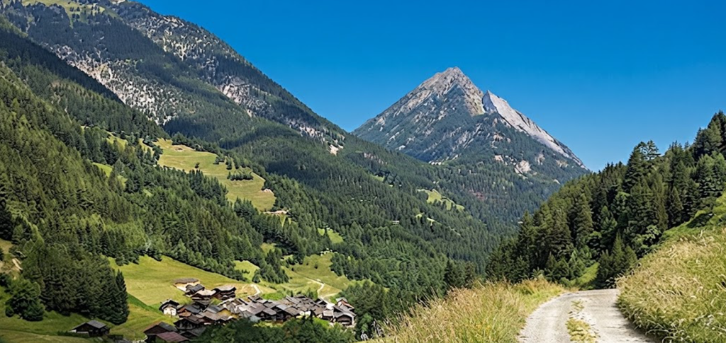
With the Hotel Edelweiss in La Fouly as the intended destination, hikers faced a choice between the high route and the farm road. Given the weather, the road was chosen. Drainage channels overflowed, and streams became rivers. Crossing bridges revealed torrents of water, dark with debris. The Drance de Ferret stream resembled a roaring river, unlike anything seen before.
Lessons from Day 5
This stage highlighted the unpredictability of mountain weather and terrain. What should have been a scenic crossing into Switzerland became a battle against rain, wind, and landslides. The importance of caution, flexibility, and respect for natural forces was underscored. Day 5 was not memorable for its beauty but for its challenges, reminding hikers that the Tour du Mont Blanc demands resilience as much as endurance.
Day 6: La Fouly to Champex
The sixth stage of the Tour du Mont Blanc is one of the easiest, covering 15 kilometers (9.3 miles) with an elevation gain of +420 meters (1,378 feet) and a descent of -565 meters (1,854 feet). The estimated time is four to five hours, making it shorter and less demanding than previous days. Food is available in Praz-de-Fort and Issert, and accommodation options exist in both Praz-de-Fort and Champex. Champex itself offers hotels, pensions, and camping, though prices are higher than in France or Italy. Transportation connections are available in La Fouly, Praz-de-Fort, Issert, and Champex.
Starting Out
The stage quickly revealed itself as the least challenging of the trek so far. Compared to the steep climbs and dramatic passes of earlier days, this was a valley walk, gentle in grade and straightforward in navigation.
Valley Walking
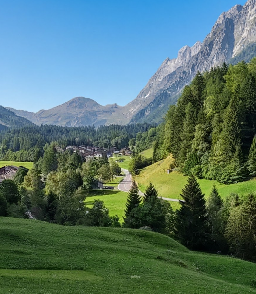
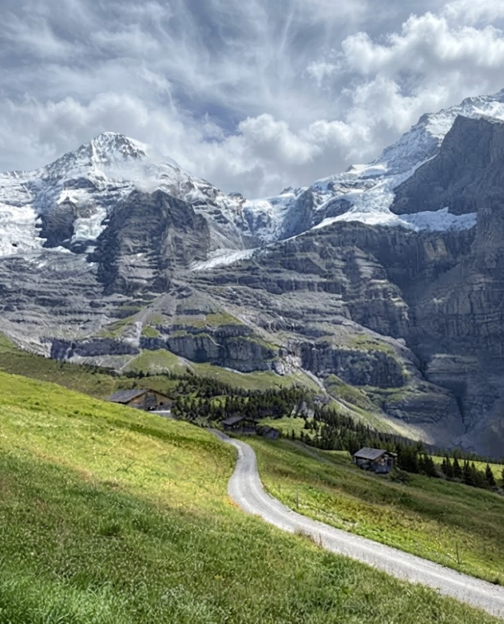
The trail followed the river, where signs of flooding were evident. The power of water in the mountains was clear, with debris and erosion marking the landscape. The path wound through tidy Swiss villages, each with neatly stacked woodpiles and flower boxes overflowing with geraniums. The countryside was pretty, though less dramatic than the alpine scenery of previous stages.
Moraine of the Saleina Glacier
One of the highlights of the day was walking along the lateral moraine of the Saleina Glacier. This section provided a sense of connection to the glacial forces that shaped the valley. The terrain was distinctive, and the views offered a reminder of the scale of natural processes at work.
Passing Through Villages
The route passed through Praz-de-Fort and Les Arlaches. These small communities were quiet, with few people visible despite the well-kept homes and gardens. The sense of order and neatness was striking, reflecting the Swiss character of the region. In Issert, small restaurants provided refreshments, and the presence of locals added life to the stage.
The Mushroom Route
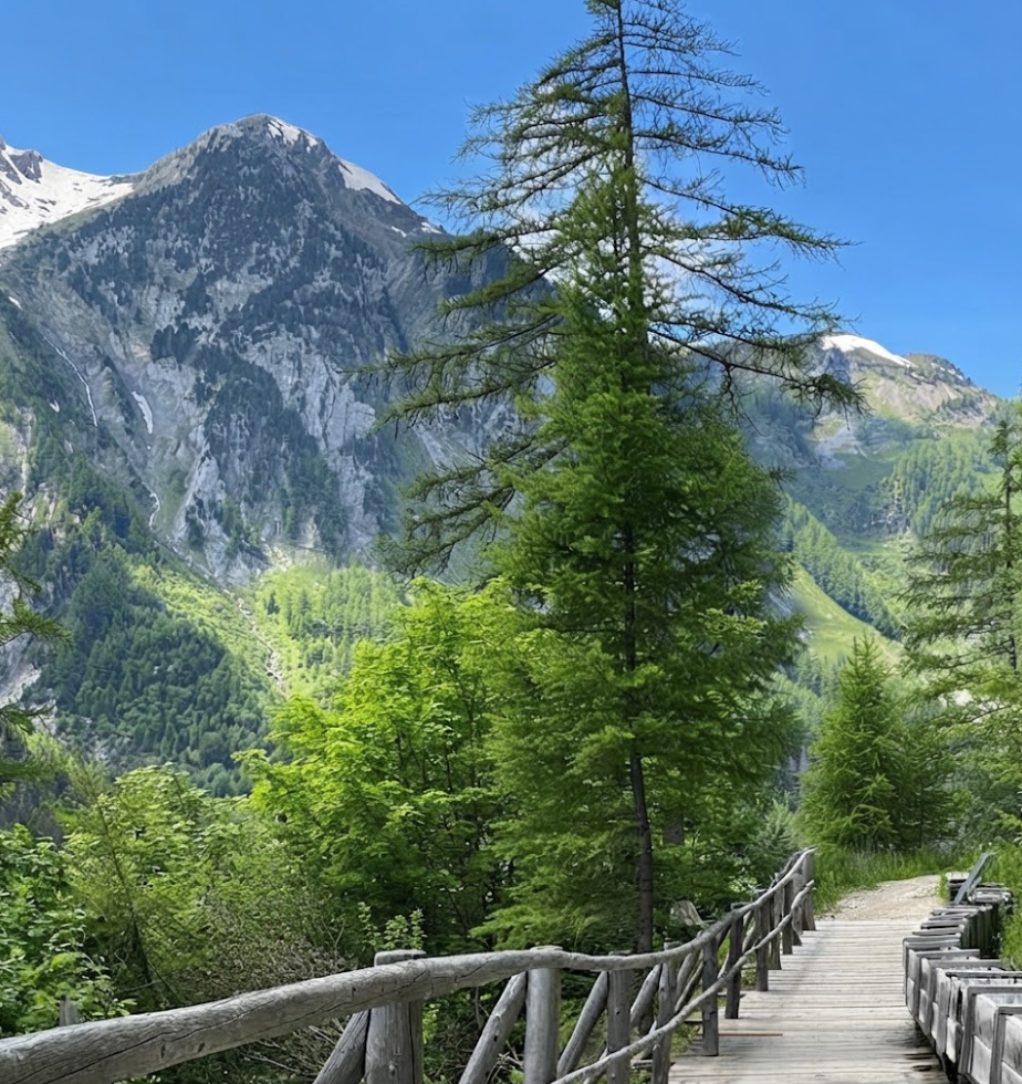
From Issert, the trail climbed steadily toward Champex. The grade was easier than previous days, making the ascent manageable. The forest section along the Mushroom Route was particularly enjoyable. Local carvers had created wooden sculptures, with more than twenty carvings displayed along the path. Mushrooms of various types grew in abundance, alongside carvings of wildlife. The combination of art and nature made this section memorable.
Arrival in Champex
Emerging from the forest, hikers reached Champex at the eastern end of the lake. The lake itself is small but attractive, popular with local fishermen. When the sun shines, Champex is a pleasant place to rest and recover. Most accommodation is located at the far end of the lake. Options include hotels, pensions, and camping, though prices are high. Switzerland is expensive, and Champex reflects that reality.
Accommodation
Staying at the three-star Hotel Glacier highlighted the cost difference. It was the most expensive lodging of the trek, far exceeding prices in France and Italy. The strong Swiss franc makes everything more costly, from food to accommodation. While Champex offers comfort, it comes at a premium.
Lessons from Day 6
This stage demonstrated the variety of the Tour du Mont Blanc. Not every day is defined by dramatic scenery or grueling climbs. Some stages are easier, offering recovery and a chance to appreciate quieter landscapes. Day 6 was less exciting but valuable in its own way, providing rest before the challenges ahead.
The Character of the Stage
Day 6 is remembered as the easiest and least dramatic stage of the trek. It lacks the grandeur of alpine passes but offers charm in its villages, forests, and moraine. The Mushroom Route adds character, and Champex provides comfort despite its expense. The stage is a reminder that the Tour du Mont Blanc is not only about peaks and passes but also about valleys and communities.
Day 7: Champex to Col de la Forclaz
The seventh stage of the Tour du Mont Blanc covers 16 kilometers (10 miles) with an elevation gain of +742 meters (2,434 feet) and a descent of -682 meters (2,238 feet). The estimated time is four and a half to five hours. Food is limited along the way, with Alp Bovine serving as the only refreshment stop, so it is wise to purchase supplies in Champex before setting out. Accommodation is available at the Hotel du Col de la Forclaz, which offers private rooms and dormitory spaces, with meals included. Alternatives exist in Trient, about thirty minutes further, and in Champex d’en Haut, where Hotel-Club Sunways and Chalet Bon-Abri provide additional lodging. Transportation options include buses from Col de la Forclaz to Martigny or Trient.
Setting Out from Champex
Leaving Champex, the trail quickly establishes its character. Unlike the valley walk of the previous day, this stage involves climbing, descending, and traversing varied terrain. The route remains entirely within Switzerland, offering a distinctly Swiss landscape of forests, pastures, and tidy villages.
Forested Paths
The hike begins with forest walking, shaded and quiet. The trail rises steadily, crossing a steep stream valley. The climb is demanding but manageable, requiring steady effort. The forest provides cover, and the sound of water accompanies the ascent.
High Alpine Pastures
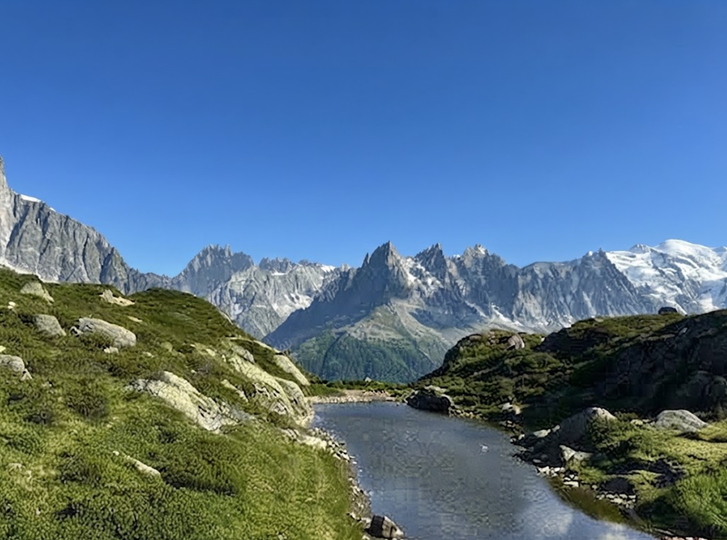
Beyond the forest, the trail opens into high alpine pastures. The scenery expands, with wide views of surrounding peaks and valleys. The pastures are dotted with wildflowers, adding color to the landscape. This section is particularly rewarding, offering a sense of space and elevation.
Alp Bovine
Alp Bovine is a working dairy farm that supplements its income by serving refreshments to hikers. The menu is limited, with cakes, hot chocolate, and instant coffee available. The stop is modest but welcome, providing a chance to rest and refuel. The atmosphere reflects the dual purpose of the farm, balancing agricultural work with hospitality.
The Descent
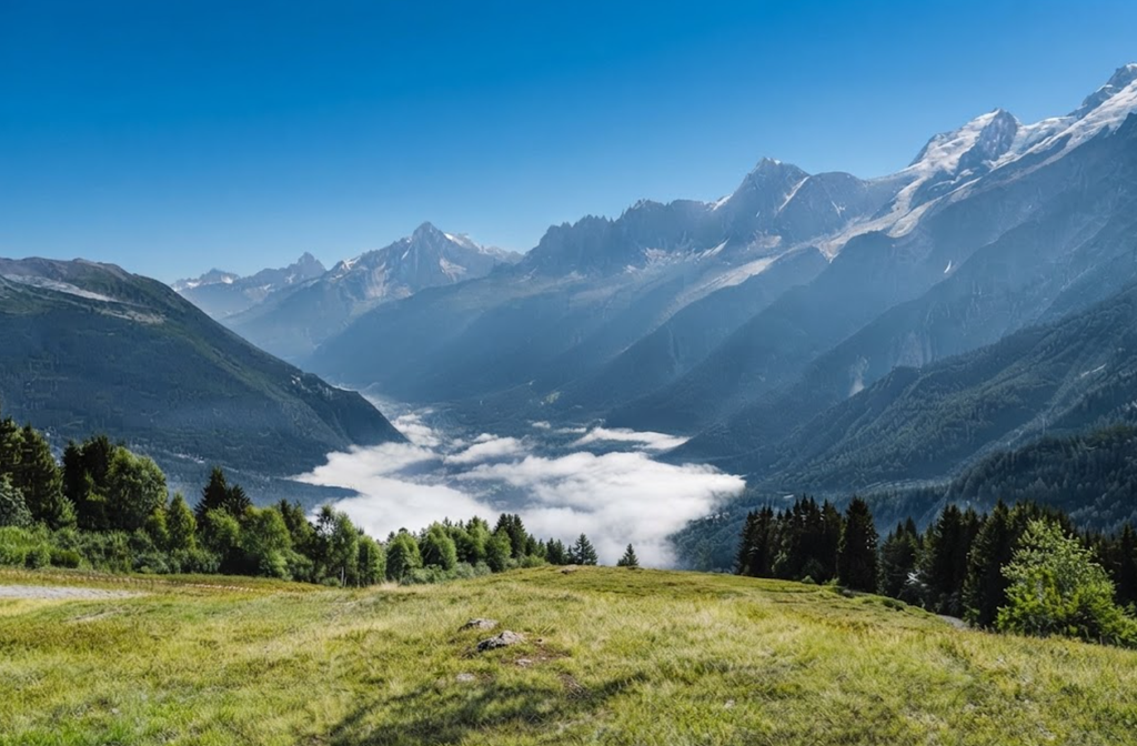
From the pastures, the trail descends steeply through meadows filled with wildflowers. The descent requires attention, but the scenery makes it enjoyable. The meadows lead directly to the Hotel du Col de la Forclaz, positioned across from the trail’s end.
Lessons from Day 7
This stage demonstrates the variety of the Tour du Mont Blanc. It combines forest walking, steep climbs, alpine pastures, and meadow descents. The scenery is magnificent, and the effort is balanced by the rewards. Food is limited, so preparation is important, but accommodation is straightforward. Day 7 is remembered for its landscapes and its sense of progression through Switzerland.
The Character of the Stage
Day 7 embodies the rhythm of the trek: effort followed by reward, challenge balanced by scenery. It is a stage that highlights the beauty of Switzerland, with forests, pastures, and meadows creating a varied and memorable route.
Day 8: Col de la Forclaz to Argentière
The eighth stage of the Tour du Mont Blanc is a classic example of the rhythm of mountain trekking: a long climb in the morning followed by a sustained descent in the afternoon. Covering roughly 16 kilometers (10 miles), the stage involves an ascent of 1,069 meters (3,507 feet) and a descent of about 1,200 meters (3,937 feet). The total time required is around seven hours.
The Morning Climb
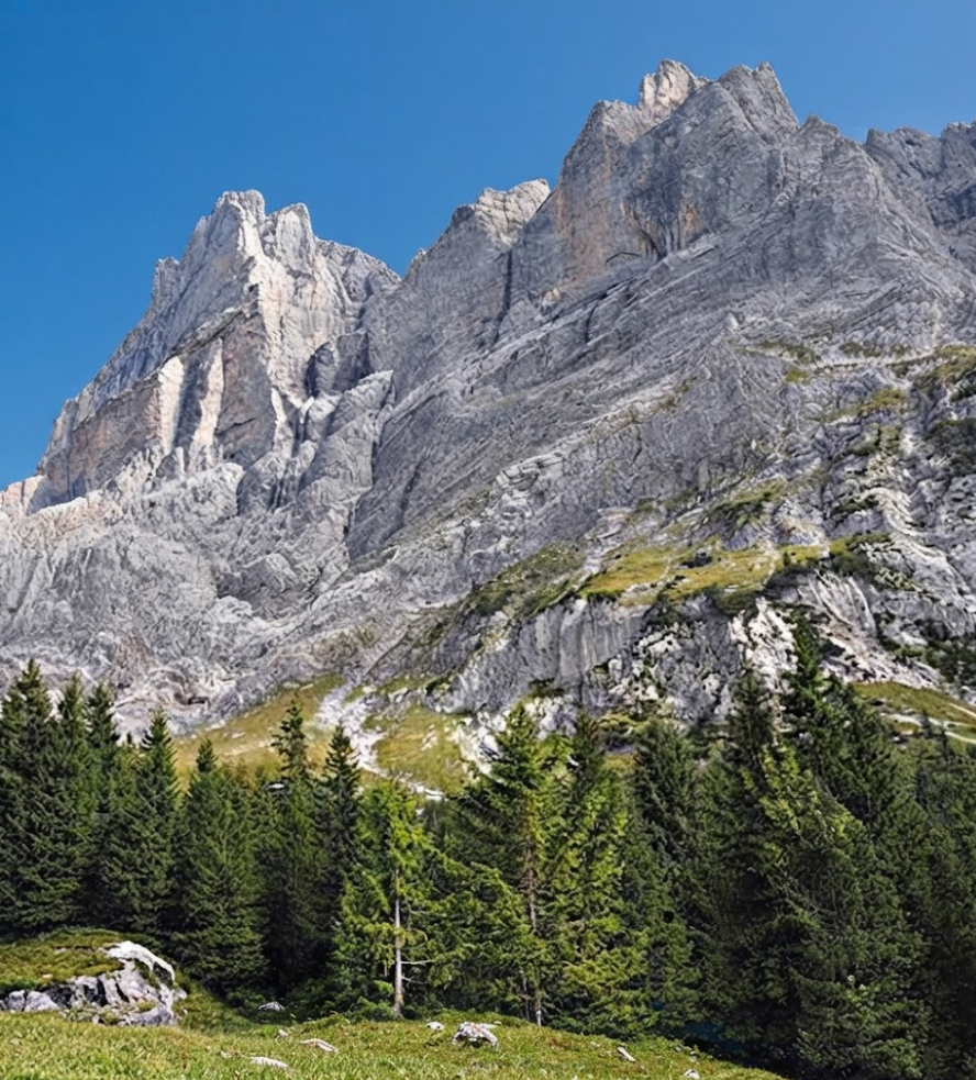
Leaving Col de la Forclaz, the trail rises steadily. The climb is demanding, but the reward is panoramic views that accompany hikers throughout the ascent. Forests give way to open slopes, and the scenery expands with each step. The effort is considerable, yet the vistas make it worthwhile.
Panoramic Views
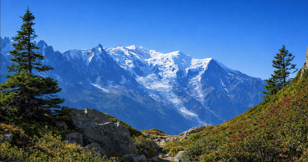
The highlight of the day is the scenery. Peaks and valleys stretch in all directions, offering a sense of scale and grandeur. The views are constant, providing motivation during the climb and enjoyment during the descent. This stage is remembered as one of the most visually rewarding, despite the physical demands.
The Afternoon Descent
After reaching the high point, the trail descends for most of the afternoon. The descent is long and requires concentration, but the views continue to impress. Wildflower meadows and alpine pastures line the path, creating a varied and memorable landscape.
Arrival in Argentière
Argentière marks the end of the stage. The town offers accommodation, food, and transport connections. It is a lively place, providing comfort after a demanding day. The transition from mountain trail to village atmosphere is striking, and the sense of progress is clear.
Day 9/10: Argentière to Chamonix
The final stage of the Tour du Mont Blanc is often considered one of the most spectacular. Covering the distance from Argentière or Tré-le-Champ to Chamonix, it involves significant climbing and descending, with options for variations. Unfortunately, poor weather can diminish the experience, as heavy rain and cold conditions can obscure views and create hypothermia risks.
The Climb to La Flégère
From Argentière or Tré-le-Champ, the trail rises toward La Flégère. The climb involves 900 meters of ascent and 500 meters of descent, taking about five hours. Options include ladders or a high walk via the Col des Montets. In good weather, this section offers stunning views, but in rain it becomes challenging.
Lakes and Views
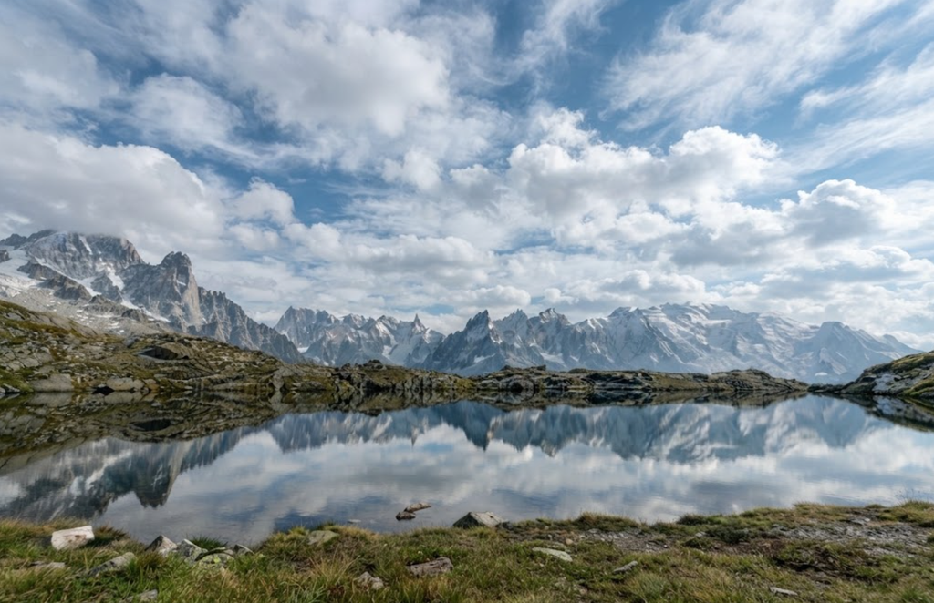
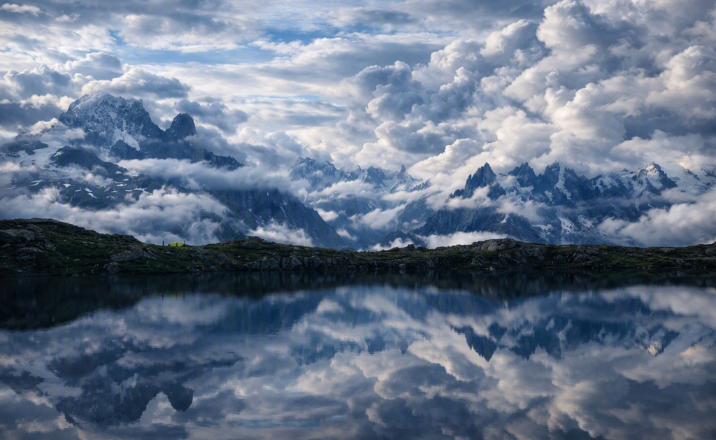
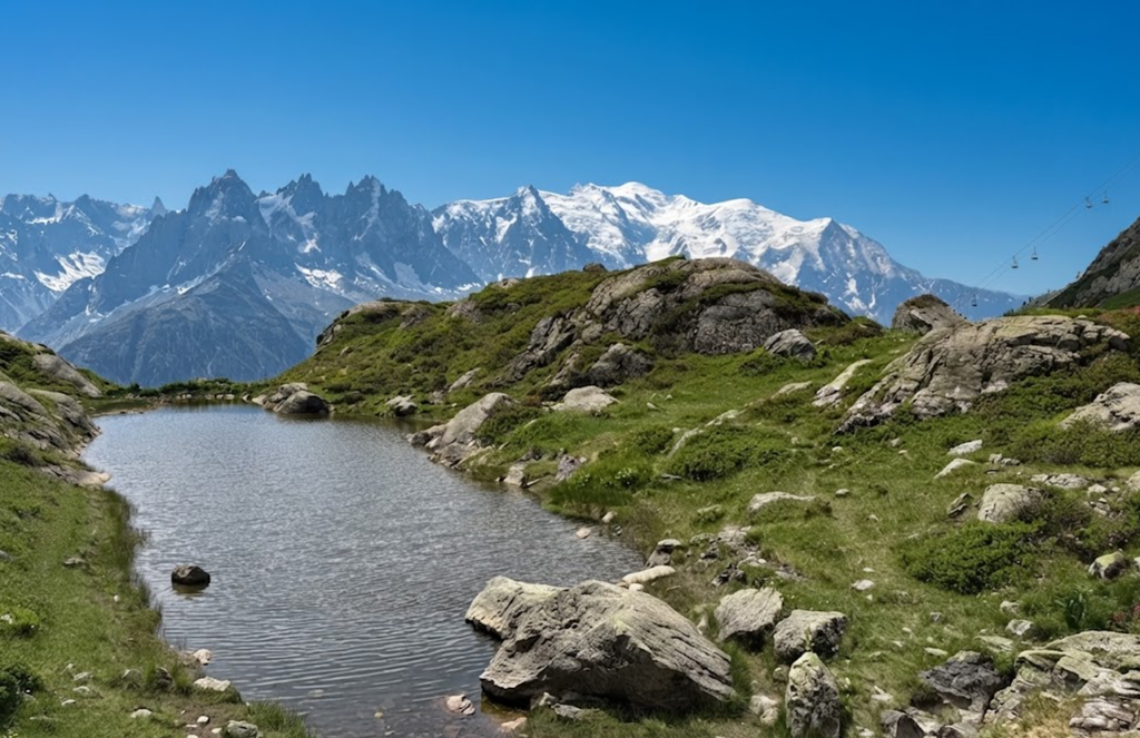
The final stage is known for its lakes and Mont Blanc views. Chéserys Lake and Lake Blanc are highlights, accessible via side trips. On clear days, reflections of peaks in the lakes create iconic images. Mont Blanc dominates the horizon, providing a fitting conclusion to the trek.
The Descent to Les Houches
From La Flégère, the trail descends 1,500 meters to Les Houches. The descent is long and demanding, but cable car options exist to shorten the journey. Buses connect Chamonix and Les Houches, providing flexibility.
Planning Considerations
Many hikers choose to extend the trek by adding an overnight stay at La Flégère. This allows time to enjoy the scenery without rushing and provides a more balanced conclusion. The final stage is best experienced in good weather, and flexibility in planning can enhance the experience.
Lessons from the Final Stage
The last day demonstrates the importance of weather and pacing. Stunning views are possible, but conditions can change quickly. Allowing extra time ensures that the trek ends on a high note. The Tour du Mont Blanc is not only about reaching the end but about appreciating the journey.
Tips for Hiking the Tour du Mont Blanc
The Tour du Mont Blanc (TMB) is one of Europe’s most iconic long-distance hikes, circling Mont Blanc through France, Italy, and Switzerland. Covering 170 kilometers, it demands careful planning and preparation. Based on experience, here are practical insights to make the trek more rewarding.
How Many Days Do You Need?
Most hikers complete the circuit in 10 to 11 days, which allows for a balanced pace and time to enjoy the scenery. Attempting it in fewer days, such as nine, can feel rushed. Long stages—like combining Les Chapieux to Courmayeur in one day—may reduce enjoyment and increase fatigue. Allowing extra time ensures flexibility for weather delays and gives space to appreciate the landscapes.
Is the Tour du Mont Blanc Difficult?
The trail is not technical, meaning ropes or climbing skills are unnecessary. However, it is physically demanding. Many stages involve over 1,000 meters of climbing in a single day, combined with long distances. The challenge lies in endurance rather than technical skill. Training beforehand helps, but the trek itself builds stamina as each day adds cumulative effort.
Booking Rifugios and Mountain Huts
Accommodation is a critical part of planning. Popular refuges such as Rifugio Elisabetta and Rifugio Bonatti fill up months in advance during July and August. Booking early ensures a place to sleep and reduces stress. Options range from dormitories to private rooms, with meals typically included.
Guided or Self-Guided?
The TMB can be hiked self-guided. The trail is well signed, and a reliable guidebook makes planning stages straightforward. However, organizing accommodation and logistics requires effort. Guided trips, offered by companies such as G Adventures, simplify planning and provide support. Experiences differ: self-guided hikes offer independence, while guided tours add structure and camaraderie.
Personal Experience
Hiking self-guided allows freedom to set pace and itinerary. Yet, guided trips can be transformative. One hiker described his guided TMB with G Adventures as “the best trip of his life.” The choice depends on preference: independence versus convenience.
Key Takeaways
- Allow 10–11 days for a balanced trek.
- Book huts early in peak season.
- Prepare for physical effort with training and realistic pacing.
- Choose guided or self-guided based on comfort with logistics.