
Introduction
The Edelweissweg is a circular trail that begins in the town center of Zermatt and rises to the alpine meadows of Höhbalmen. It is a hike that demands endurance, rewards persistence, and offers one of the most complete panoramas of the Pennine Alps.
With a total distance of 17.5–20 kilometers, an elevation gain of 1,195 meters, and a duration of 7 to 9 hours, this is not a casual stroll. It is a full-day mountain experience, one that combines steep ascents, balcony trails, and historic hamlets.
The Ascent from Zermatt
Starting at Pfarrkirche St. Mauritius, the trail immediately climbs through cobbled streets and narrow lanes. Oberdorfstrasse leads past Du Pont and Herz Stüberl before veering onto Schälpmattgasse. The route toward Hubel is marked by handwritten “Wanderweg” signs and stacked yellow trail markers. This section is steep, rising quickly above the rooftops of Zermatt.
The Herbrig plateau provides a pause in the climb. Here stands Europe’s oldest barn, dating back to 1261, raised on stone stilts to protect grain from rodents. The trail continues upward, cutting through larch forest and juniper slopes. The Mischabel group comes into view, with Täschhorn at 4,500 meters and Dom at 4,555 meters dominating the skyline.
At Hubel, the trail forks. Turning northeast, hikers leave the Matterhorn behind temporarily, traversing tussock-covered slopes. After twenty minutes, another junction directs the path westward toward Höhbalmen. Breithorn, at 4,160 meters, rises glaciated and dome-shaped beside the sharp Klein Matterhorn.
Höhbalmen Plateau
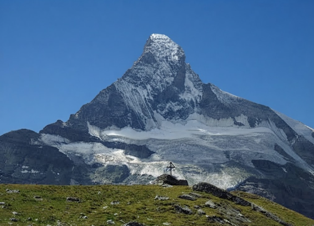
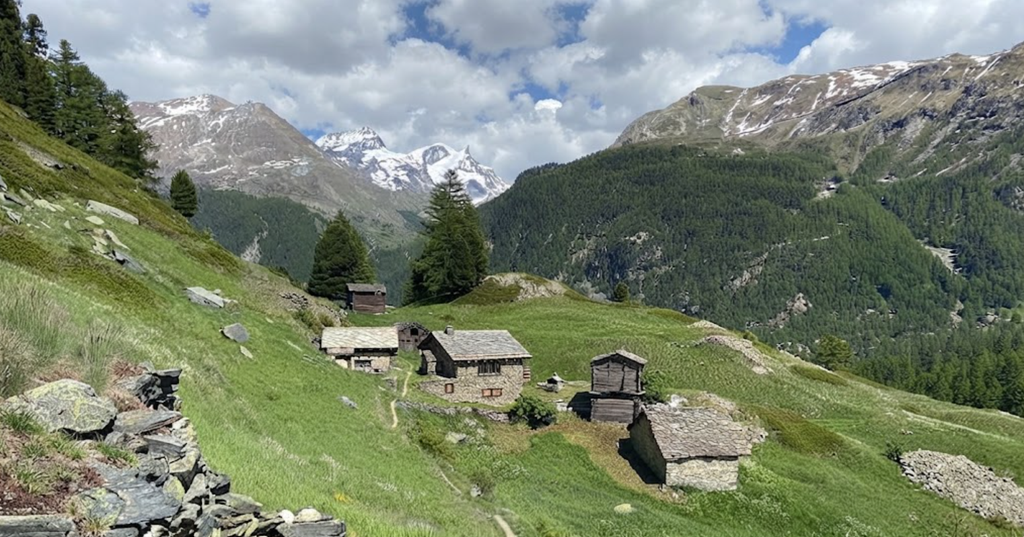
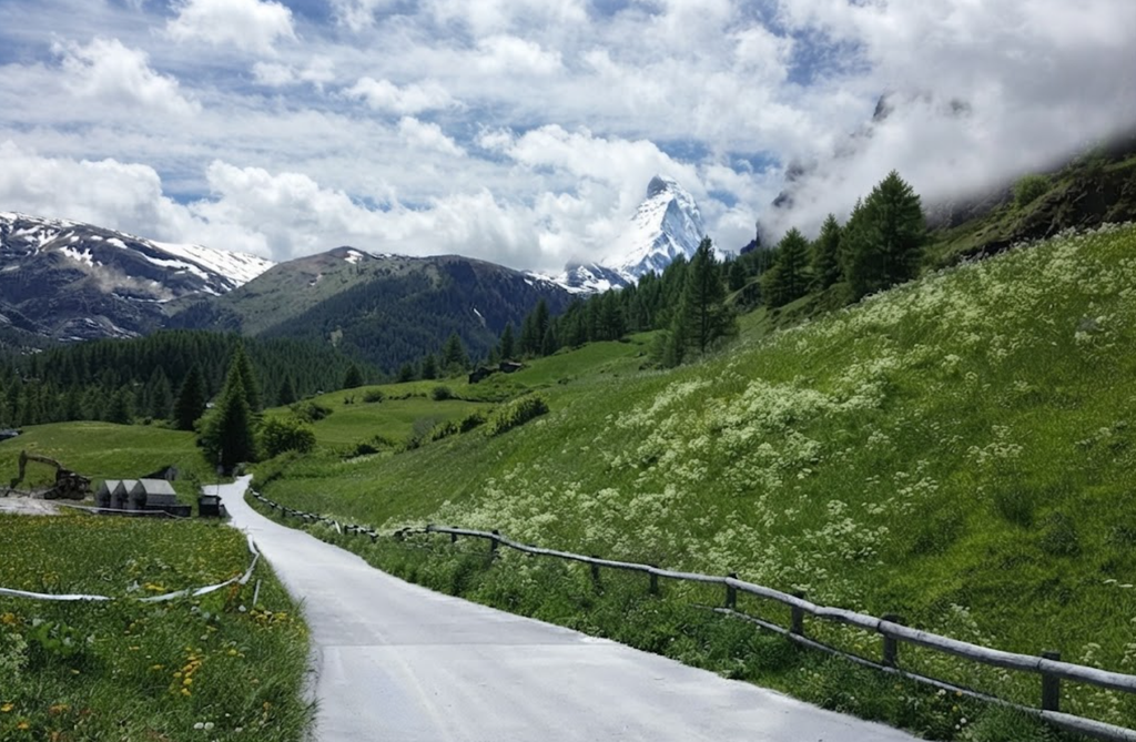
At 2,670 meters, the Höhbalmen plateau opens wide. The Matterhorn’s north face dominates the horizon, flanked by the Monte Rosa massif and the Mischabel peaks. The plateau is scattered with rocks and grazed by Valais blacknose sheep in summer. The trail here is level, a welcome relief after the climb.
The balcony section is the highlight. The path contours around steep slopes, overlooking Dent d’Hérens at 4,171 meters and the Zmutt Glacier. The views are uninterrupted, the Matterhorn constant. This section is smooth, easy, and unforgettable.
Descent into Zmutt Valley
The trail eventually descends into Zmutt Valley, passing a cross-bearing viewpoint and winding down toward Chalbermatten. The descent circumvents the Arbenbach waterfall, crosses larch stands, and follows the Zmutt stream. At 2,105 meters, the Chalbermatten junction indicates 35 minutes to Zmutt and 1 hour 45 minutes to Zermatt.
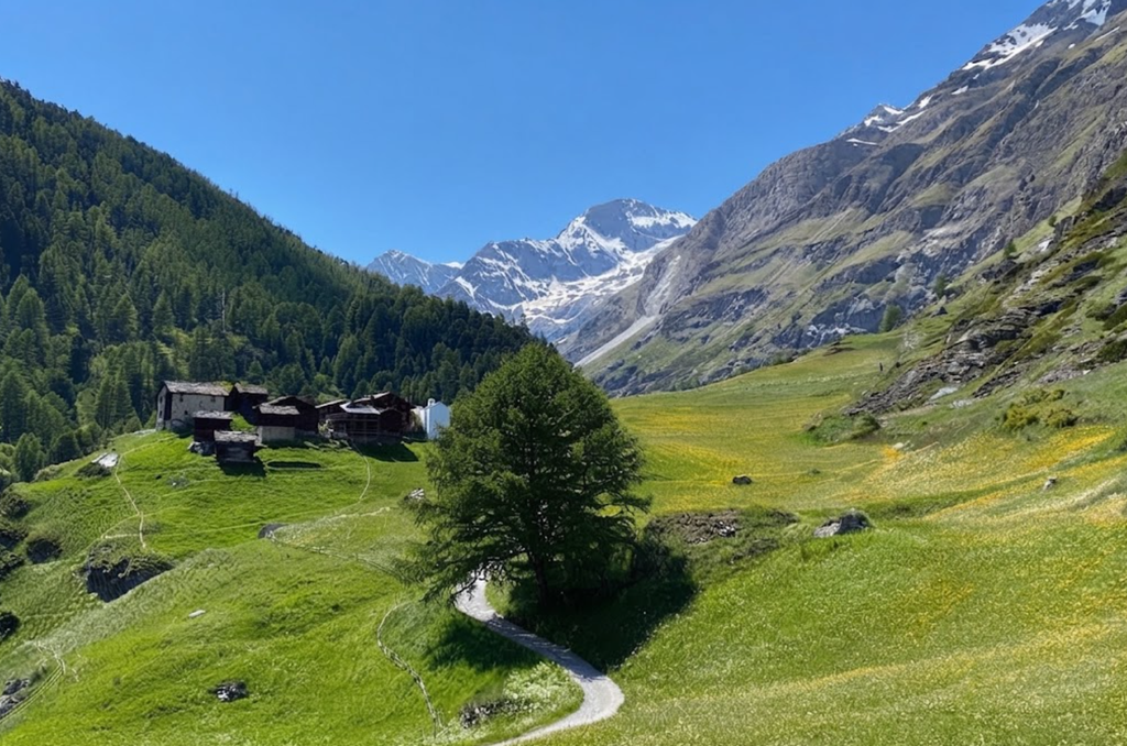
Zmutt itself is a 500-year-old hamlet of timber barns and slate roofs. Restaurant Z’Mutt offers soups and cakes, open from 9:00 to 17:30. It is a rustic pause before the final descent.
Return to Zermatt
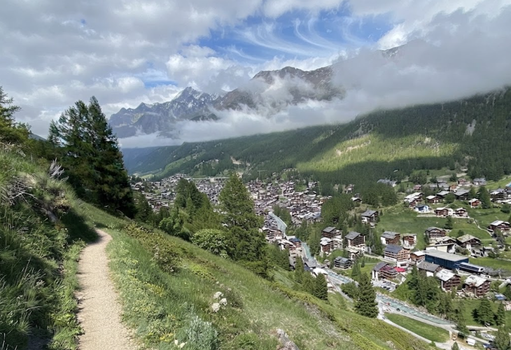
From Zmutt, the most direct path leads back to Zermatt, following the Zmutt River. The descent is steady, bringing hikers back to the town center where the circuit began.
Trail Variations
The Edelweissweg has two main variations. The full 20-kilometer loop includes the Trift ascent, climbing 650 meters in three kilometers to Berghaus Trift. This section has gradients up to 41% and reaches 2,710 meters. The alternative Hubel route is shorter at 17.5 kilometers, bypassing storm-damaged sections. Both routes converge at Höhbalmen.
Difficulty and Timing
The Edelweissweg is rated moderately difficult (T2–T3). The challenge lies in its length and elevation gain rather than technical terrain. Expect seven hours of walking time, or eight to nine hours with breaks. The minimum elevation is 1,613 meters, the maximum 2,750 meters.
Hiking Season
The trail is best hiked between June and September. October offers quieter paths but colder conditions. Snow lingers late into spring, and weather changes quickly at altitude.
Responsible Hiking
The Edelweiss flower, rare and protected, gives the trail its name. Spotting one is a privilege. Do not pick or disturb them. The plateau also hosts Valais blacknose sheep and goats. Respect the animals and leave no trace.
Essentials to Bring
A 25–35 liter backpack is recommended. Waterproof layers, a puffer jacket, trekking poles, and sturdy boots are essential. Carry at least two liters of water per person, sunscreen SPF 50, sunglasses with UV protection, and merino socks. For overnight camping, add a tent, sleeping bag, cooking gear, and a headlamp.
Food and Water
Pack lunch and snacks. Getting to Zermatt : Zermatt is a car-free village. Arrive by train, or park in Täsch and take the shuttle train. The journey itself is scenic, setting the tone for the hike.
Accommodation
Zermatt offers a wide range of hotels, chalets, and guesthouses. Location, amenities, and atmosphere vary, but proximity to the town center is convenient for early starts.
Experience
The Edelweissweg is a hike of endurance and grandeur. The ascent is punishing, the plateau unforgettable, and the descent into Zmutt a passage through living history. It is the best hike in Zermatt, a full encounter with the Pennine Alps: flowers, glaciers, waterfalls, and the Matterhorn itself.