
Faroe Islands > Things to do in Faroe Islands > Slættaratindur
In the northern reaches of Eysturoy, the second largest island in the Faroe archipelago, rises Slættaratindur, the highest peak in the country. At 880 metres above sea level, this mountain is not only a geographical landmark but also a cultural symbol. Its name translates as “flat summit,” a reference to the broad plateau that crowns its peak. For Faroese people and visitors alike, climbing Slættaratindur is both a physical challenge and a rite of passage, offering sweeping views across the islands and a deep connection to the traditions of the North Atlantic.
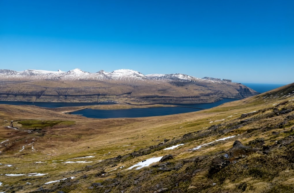
Location and Physical Character
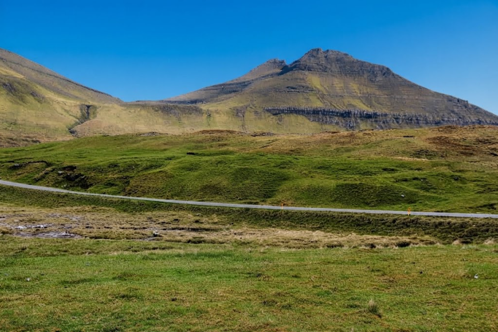
Slættaratindur dominates the landscape between the villages of Eiði, Gjógv, and Funningur. Its summit is unusually flat, covering about 1,000 square metres, which makes it distinctive among Faroese peaks. The mountain’s prominence ensures that it can be seen from great distances, and its isolation of nearly 447 kilometres makes it a beacon in the North Atlantic. Sailors and aviators have long used it as a point of reference, while hikers today are drawn to its commanding position above the archipelago.
Routes to the Summit
There are two principal routes to the top. The longer and more demanding path begins in Gjógv, a picturesque village known for its natural harbour. This route takes about four hours, crossing the neighbouring peak of Gráfelli before continuing to Slættaratindur. The shorter and more popular option begins at Eiðisskarð, the mountain pass between Eiði and Funningur. From the parking area at the highest point of the pass, hikers set out across grassy slopes, initially without a marked trail. After about 30 to 40 minutes, at an altitude of 670 metres, a defined path appears, guiding walkers toward the summit.
Hiking Experience
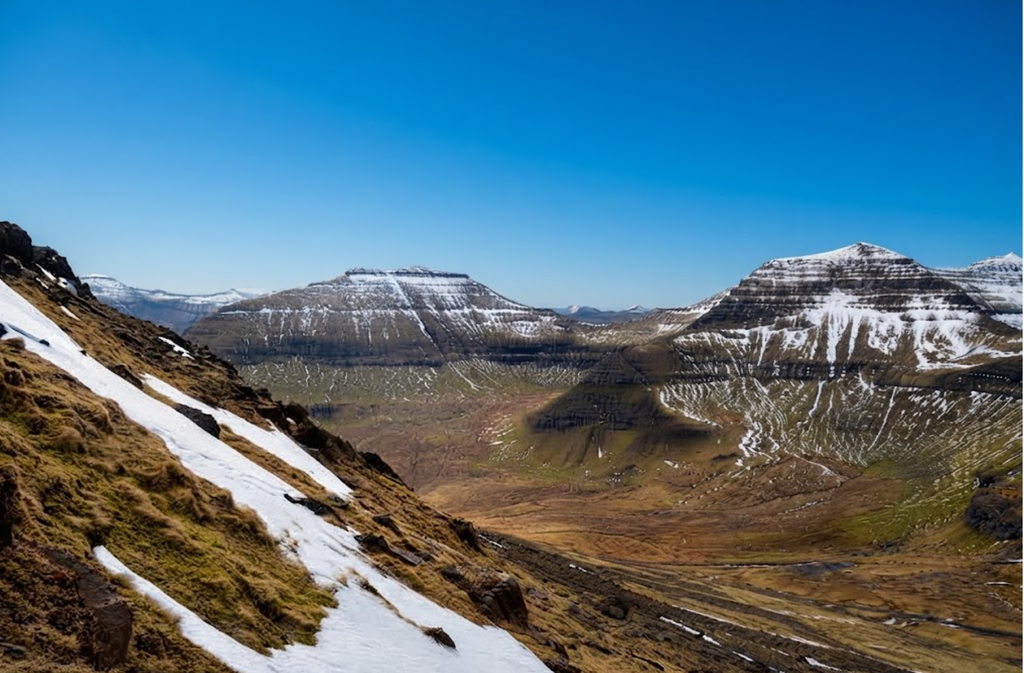
The climb from Eiðisskarð is moderate in difficulty, suitable for families though requiring caution near the summit. The first section is grassy, with sheep grazing along the slopes, a familiar sight in the Faroes. As altitude increases, the terrain becomes rockier. The final ascent is the most challenging: loose stones, gravelly surfaces, and a natural staircase of rocks demand careful footing. About 30 vertical metres from the top, the path bends right, and hikers are advised to stay on the back of the mountain for the safest approach. The descent follows the same route, and markers such as a colourful scarf or backpack can help identify the correct spot to begin the return.
Views from the Summit
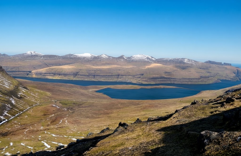
On clear days, the summit offers a rare 360‑degree panorama across all 18 islands of the Faroes. Villages, fjords, and sea stacks are visible in every direction. To the north, the sea stacks known as Risin and Kellingin rise dramatically from the ocean. To the west, the village of Haldórsvík can be seen. Some claim that Iceland’s Vatnajökull glacier, 550 kilometres away, is visible under exceptional conditions, though experts suggest this may be a mirage. Regardless, the view is among the most expansive in the North Atlantic.
Tradition and Culture
Slættaratindur is not only a mountain but also a cultural gathering place. On June 21, the longest day of the year, Faroese people climb to the summit to watch the sun set and rise again within hours. The night is spent with chain dancing, singing, and traditional food: skerpikjøt (wind‑dried mutton), dried fish, whale meat, and strong coffee. This midsummer celebration blends endurance with festivity, reinforcing the mountain’s role as a symbol of community and heritage.
Geological Significance
The mountain’s flat summit is a geological curiosity. Unlike the sharp peaks common in the Faroes, Slættaratindur’s plateau provides space to walk and gather. Its prominence of 880 metres makes it the highest point in the archipelago, while its isolation underscores its importance as a landmark. The mountain’s geology reflects the volcanic origins of the islands, with basalt formations shaping its slopes and summit.
Seasonal Considerations
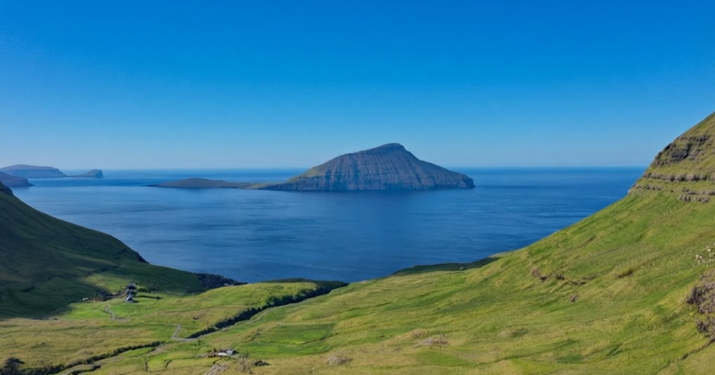
Slættaratindur can be climbed year‑round, but conditions vary dramatically. In summer, the paths are clear, though weather can change quickly, with fog descending in minutes. In winter, from November to April, snow and ice make the climb more hazardous. During these months, hikers are advised not to go alone and to carry proper equipment. The Faroese climate is unpredictable, and preparation is essential.
Safety and Preparation
Climbing Slættaratindur requires basic but important gear. Sturdy hiking boots with ankle support are essential, as are layered clothing and rain gear. Water, high‑energy snacks, and navigation tools such as a map, compass, or GPS device should be carried. A first‑aid kit is recommended, and hikers should always check weather forecasts before setting out. Fog and rain can make paths slippery, while gravel and loose stones near the summit demand caution.
Guided Tours
For those preferring a structured experience, local companies offer guided tours to Slættaratindur. These typically include transportation from Tórshavn, an experienced guide, and insights into local flora, fauna, and geology. Tours last about six hours including travel time, providing not only a safe climb but also a deeper understanding of the mountain’s significance. Guides often share stories of local traditions, point out rare plants, and explain the geological formation of the summit.
Cultural Importance
Slættaratindur holds a special place in Faroese culture. It is a mountain that children learn about in school, a peak that families climb together, and a site of midsummer celebration. Its prominence in geography lessons was recently updated when new measurements showed the summit to be 880 metres, two metres lower than previously thought. Despite this adjustment, it remains the highest point in the country, comfortably ahead of Gráfelli at 856 metres.
Practical Information
The climb from Eiðisskarð takes about 2 to 2.5 hours, covering 5 to 6 kilometres. The difficulty is moderate, with steep sections near the top. The route is suitable for children, though supervision is essential at the summit, where drops are steep. The surface varies from grassy paths to rocky trails, reflecting the diverse terrain of the Faroes.
Broader Context
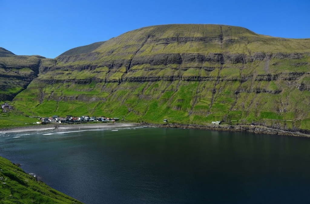
Slættaratindur is part of a wider landscape of peaks, fjords, and villages that define the Faroes. Its position on Eysturoy places it near other notable sites, including the village of Gjógv with its natural harbour and the sea stacks Risin and Kellingin. The mountain is a focal point in the geography of the islands, a place where natural beauty and cultural tradition converge.
Climbing Slættaratindur is more than a hike. It is an immersion into the raw beauty of the Faroes, a journey into their culture, and a chance to stand at the highest point in the archipelago. Whether approached from Gjógv or Eiðisskarð, the ascent offers challenge and reward. The summit provides not only views but also understanding: of the islands, their people, and their traditions. As you stand on the flat summit, gazing across a sea of islands and fjords, you experience the essence of the Faroes — a blend of nature, culture, and community that makes Slættaratindur unforgettable.