
Faroe Islands > Things to do in Faroe Islands > Vesturvarði Viewpoint
The Vesturvarði Viewpoint is one of Streymoy’s most approachable yet rewarding hikes, a 5.5 km loop that climbs gently across the slopes of Fjallið and Lítlafjall before circling back to its trailhead.
With an elevation gain of 181 meters, the path is neither steep nor demanding, but it offers a surprisingly rich blend of history, geology, and scenery. Most walkers complete the circuit in 1.5 to 2 hours, though the pace is often slowed by pauses to admire the views or study the cairns that line the route.
These cairns are not decorative; they are centuries-old markers, once vital for navigation in the unpredictable weather of the North Atlantic. The trail begins on natural ground, a mix of tussock bogs, grassy hills, and exposed bedrock.
The terrain is uneven, damp in places, and best tackled with sturdy waterproof boots. Sheep graze freely along the slopes, their paths crisscrossing the cairn-marked route. Small streams cut through the hillside, adding a quiet soundtrack to the climb.
The landscape feels raw and elemental, shaped by volcanic forces during the Tertiary period. Basalt layers form terraces and cliffs, their dark rock contrasting with the pale grasses and mosses that cling to the surface.
The Summit Experience
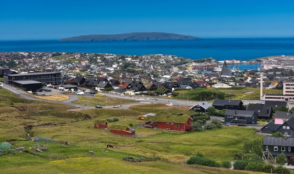
At 222 meters, Fjallið is not a towering peak, yet its position above Tórshavn makes it a natural viewpoint. From Vesturvarði, the panorama opens wide: the capital lies below, its harbor framed by the sea, while the Atlantic stretches beyond in shifting shades of blue and grey.
On clear days, the horizon feels endless, the city small against the sweep of ocean and sky. Lítlafjall, at 198 meters, offers a slightly different angle, its lower summit giving a closer view of the ridges and valleys that fold across Streymoy.
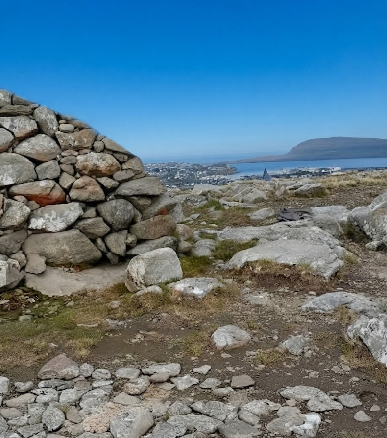
The sense of perspective is striking. Vesturvarði is not about altitude but about vantage — a place where city, sea, and mountain converge. The cairns at the summit remind visitors that this viewpoint has long been part of Faroese life.
For generations, villagers relied on these markers to guide them safely across the high ground, especially when fog rolled in or storms swept across the islands. Standing here today, the cairns connect modern hikers to that history, their stone forms weathered but enduring.

Flora and Fauna Along the Route
The vegetation is sparse, shaped by Arctic-alpine conditions. Mosses spread across damp ground, crowberry and heather cling low to the earth, and sheep’s fescue forms tufts among the rocks.
The flora is hardy, adapted to wind, cold, and poor soil. In summer, the hills take on a muted green, while in winter they fade to brown and grey, the plants retreating into dormancy.
Birdlife animates the slopes. Skuas patrol the air, plovers dart across the ground, and puffins nest during the breeding season in May. The puffin, national bird of the Faroe Islands, is a highlight for many walkers.
Its presence is seasonal, but its charm is enduring — a reminder of the islands’ deep connection to seabirds. Sheep are a constant companion, their grazing shaping the vegetation and their presence adding a pastoral rhythm to the hike.
Practical Notes
- Distance: 5.5 km loop
- Elevation Gain: 181 m
- Time Needed: 1.5–2 hours
- Difficulty: Easy to moderate
- Highlights: Historic cairns, city views, streams
- Challenges: Wind, cold temperatures
- Parking: Available at access roads near the trailhead
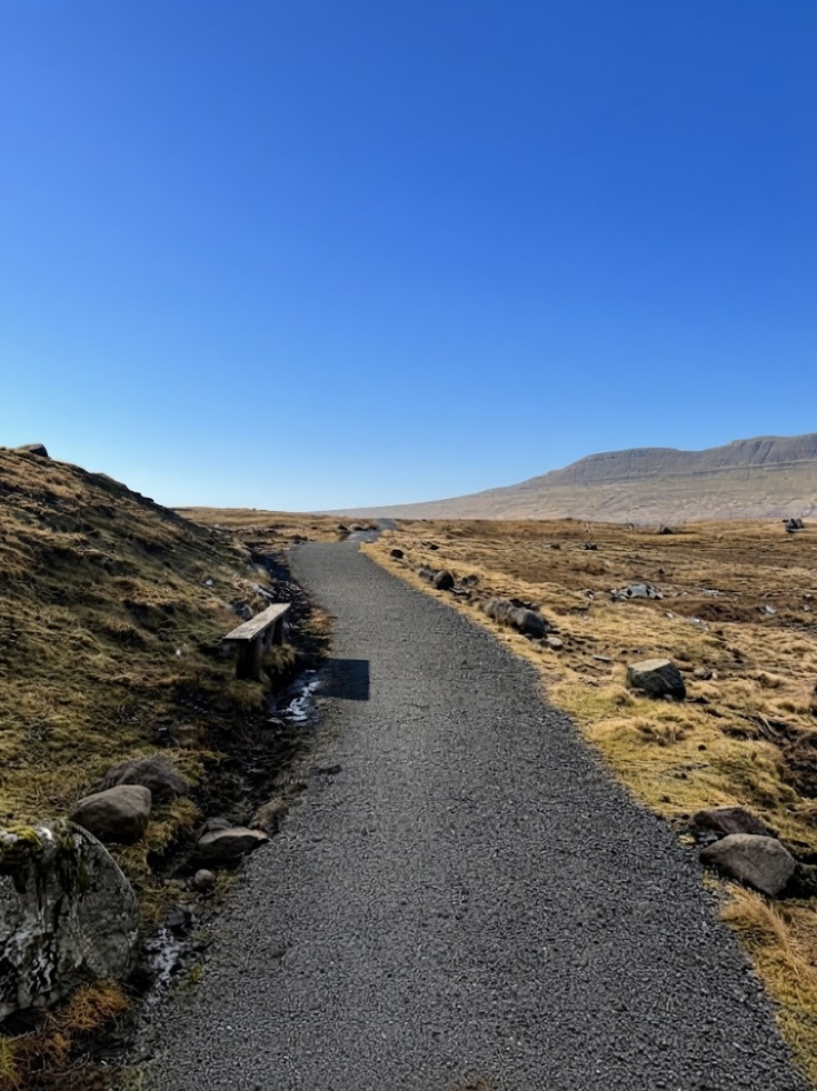
Vesturvarði is best visited on a clear day, when the views stretch far and the cairns stand sharp against the sky. Wind and cold are common challenges, but they are part of the Faroese experience.
The loop is accessible, rewarding, and steeped in history — a trail that combines ease with depth.
Vágseiði Viewpoint: The Atlantic’s Edge
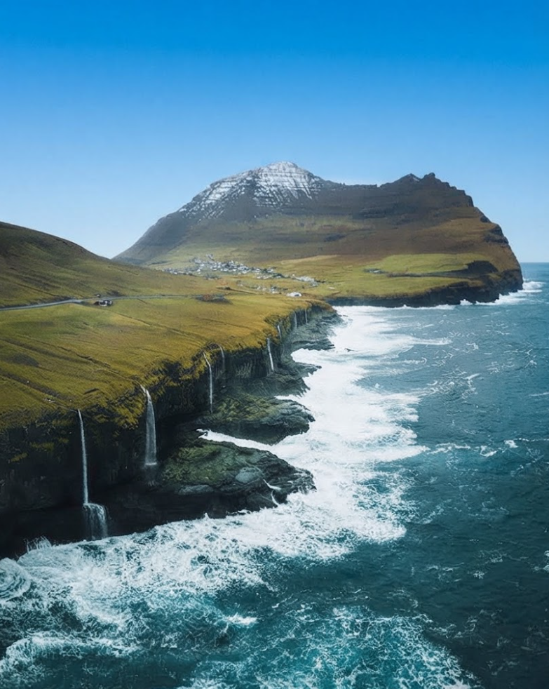
West of Vágar, the cliffs of Vágseiði face the full force of the Atlantic. Here, waves crash against reefs, winds sweep across exposed rock, and the atmosphere shifts with the seasons.
Until the early 20th century, Vágseiði was a crucial gateway, its small harbor giving communities a link to the wider ocean. The scene is dramatic. On stormy winter days, the coastline roars with energy — waves pounding, spray rising, cliffs echoing with the sound of the sea.
The atmosphere is raw, elemental, and humbling. In summer, the same place softens. The sea calms, the light lingers late into the night, and the cliffs glow in the long Faroese twilight. Vágseiði is a viewpoint of contrasts, where serenity and power coexist.
History and Atmosphere
For centuries, villagers depended on this access to western waters, using small boats to fish and travel. The harbor was modest, but it was vital, a point of connection in a landscape otherwise dominated by cliffs and reefs.
Visitors come for the drama of the coastline, the history of the harbor, and the sense of standing at the edge of the islands. Vágseiði is not a hike but a destination, a place where the Faroe Islands’ relationship with the sea is written into stone and surf.
Vesturvarði and Vágseiði: Two Perspectives
Together, Vesturvarði and Vágseiði offer contrasting perspectives on Faroese landscapes. Vesturvarði is a gentle climb above the capital, its cairns linking past and present, its views stretching across city and sea.
Vágseiði is a raw coastal stage, its cliffs exposed to the Atlantic, its statues commemorating history. One is pastoral, shaped by sheep and cairns; the other is maritime, shaped by waves and wind.
Both are accessible, both rewarding, and both deeply tied to Faroese identity. Vesturvarði shows the islands from above, Vágseiði from the edge. Visiting both gives a fuller sense of place, a deeper understanding of how land and sea shape life in the Faroes.
Extended Reflections
Walking to Vesturvarði is a reminder of how modest landscapes can hold profound meaning. The loop is short, the climb gentle, yet the experience is layered — geology, history, flora, fauna, and views all woven together.
The cairns are central, their presence grounding the hike in centuries of tradition. The puffins add charm, the sheep add rhythm, and the views add perspective. Standing at Vágseiði is different. There is no loop, no cairn-marked path, just cliffs, waves, and statues.
The experience is immediate, visceral, and dramatic. The harbor’s history adds depth, but the atmosphere is shaped by the sea. Storms bring power, summer brings calm, and the viewpoint shifts with the seasons.
Together, these places show the diversity of Faroese landscapes. Vesturvarði is inland, pastoral, and historical; Vágseiði is coastal, dramatic, and maritime. Both are accessible, both rewarding, and both worth visiting.
The Faroe Islands are a landscape of contrasts — gentle loops above the capital, raw cliffs at the edge of the ocean. Vesturvarði and Vágseiði embody those contrasts, each offering a different perspective, each tied to history, each shaped by nature.
Visiting both is not just about scenery; it is about understanding how land and sea define life in the Faroes. Vesturvarði is best on a clear day, its cairns sharp against the sky, its views stretching wide.
Vágseiði is best experienced in both moods — stormy winter and serene summer — to feel the full range of its atmosphere. Together, they form a pair, a balance, a dialogue between land and sea.