
Faroe Islands > Things to do in Faroe Islands > Tjørnuvík
The journey to Tjørnuvík, the northernmost village on Streymoy Island, feels like a passage into another world. Nestled in a deep valley with no neighboring settlements in sight, the hamlet is defined by its black‑sand beach, steep mountains, and the constant sound of streams cascading down the slopes.
With fewer than 59 houses and no café or grocery store, it is a place of quiet simplicity. On rainy days, mist drapes the valley, intensifying the sense of isolation. Yet this remoteness is precisely what makes Tjørnuvík one of the most memorable destinations in the Faroe Islands.

Arrival and Access
Reaching Tjørnuvík requires commitment. From Tórshavn, the drive takes about fifty‑five minutes, covering roughly sixty kilometers. The road from Haldórsvík is narrow and winding, clinging to steep hillsides with breathtaking views of the ocean.
Car hire is the most practical option, with companies such as Avis, Budget, and Europcar operating from Vágar Airport and the capital. Public transport is possible but limited, involving a change at Oyrarbakki and infrequent weekday buses. For most travelers, flexibility and timing make a rental car the best choice.
The Trailhead and First Ascent
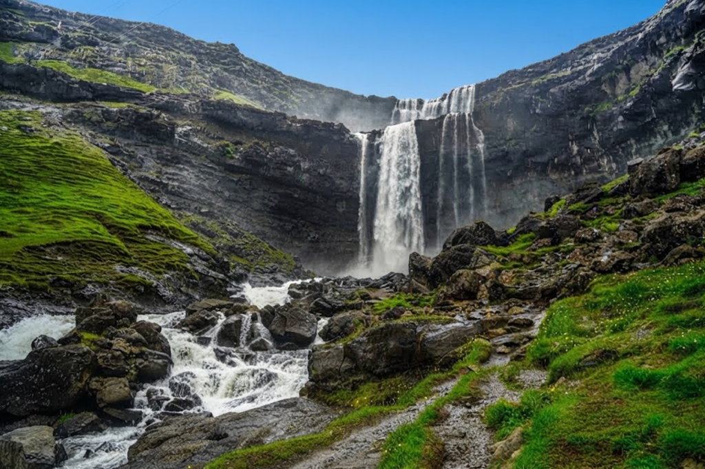
The hike to Mýlingur begins near the village parking area, where a sign points toward the Saksun Trail. The path climbs steeply out of Tjørnuvík, passing waterfalls and crossing small streams. Early sections are marked with cairns and painted rocks, guiding hikers through the rugged terrain.
The climb is demanding but quickly rewards with views back over the bay and the black‑sand beach. Sheep graze freely on the slopes, a reminder of the Faroese way of life.

Into the Valley
Beyond the initial ascent, the trail opens into a broad valley. Here, cairns continue to mark the way, but the ground becomes muddy and waterlogged, especially after rain. Alpine flowers bloom in summer, adding color to the otherwise stark landscape.
The valley feels vast and untamed, with the sound of water echoing across its floor. Navigation is straightforward in clear weather, but fog can descend quickly, obscuring the markers and making maps essential.
The Saddle and Route Division
At around six kilometers, a cairn marks the top of a saddle where the path divides. To the southeast, the trail continues toward Saksun, a popular three‑hour trek linking two of the Faroe Islands’ most iconic villages. To the northwest, the unmarked track leads toward Mýlingur.
Choosing the latter means committing to a more demanding and less defined route. The climb steepens again, pulling hikers onto a ridgeline with the first glimpses of Mýlingur’s jagged cliffs.
The Approach to Mýlingur
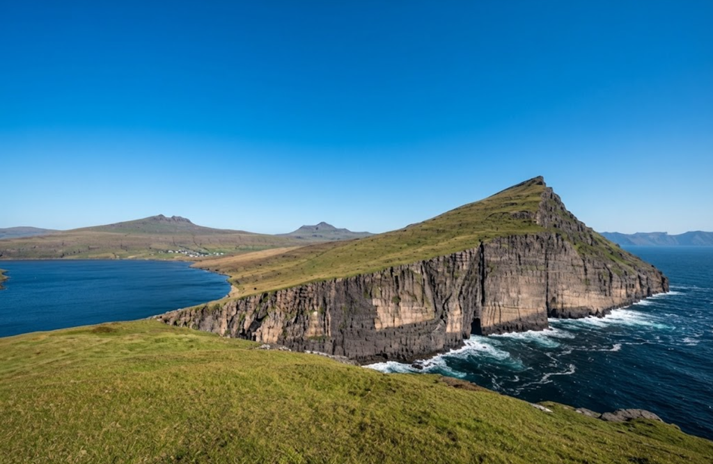
From the saddle, the route follows the ridge westward for about an hour. The terrain grows harsher, with rocks and boggy sections alternating along the way. The backside of Mýlingur comes into view, its spiky summit rising above sheer cliffs. Eventually, the path drops steeply into a valley.
This descent is treacherous, especially in wet conditions, with no markers to guide the way. Care is essential, as the slope is steep and the footing unstable.
The Valley and Cliff Views
At the valley floor, the landscape opens dramatically. Cliffs rise nearly 400 meters above the Atlantic, offering views that are both awe‑inspiring and intimidating. The sea stacks Risin og Kellingin are visible from above, their forms etched against the horizon.
To the east lies Eysturoy, and on clear days, even Kalsoy can be seen in the distance. The sense of exposure is immense, with the ocean stretching endlessly below.

The Summit Ridge
The final push to Mýlingur’s summit ridge is steep but manageable. At 565 meters above sea level, the peak is not the highest in the Faroe Islands, but it is among the most dramatic. Standing here feels like being at the edge of the world. The cliffs drop sharply into the ocean, seabirds wheel below, and the wind carries the raw energy of the Atlantic. Few places in the islands offer such sweeping panoramas combined with such solitude.
Practical Considerations
The hike is free, though it crosses private land, so respecting local guidelines is essential. Facilities in Tjørnuvík are minimal: a public toilet and parking lot are available, but no shops or cafés. Waterproof boots and rainproof layers are necessary, as the trail is often muddy and weather changes quickly.
Trekking poles help on the steep sections, particularly the descent into the valley. The best season is late May to early September, when longer days and clearer skies improve safety and visibility.
Alternatives and Easier Options
For those not planning a full ascent, shorter walks around Tjørnuvík still deliver remarkable views. A 10‑minute climb onto the hillside above the village reveals a panoramic perspective of the bay, the beach, and the surrounding mountains. The Saksun–Tjørnuvík trail offers a less strenuous but equally rewarding experience, taking about 3 hours and marked throughout. These alternatives allow visitors to enjoy the scenery without committing to the full challenge of Mýlingur.
The Experience of Solitude
What sets the Tjørnuvík–Mýlingur hike apart is not only the scenery but the solitude. Unlike more popular routes, this trail is rarely crowded. The silence of the valley, the sight of sheep grazing undisturbed, and the vastness of the cliffs create a sense of remoteness that is hard to find elsewhere. Every step feels like a discovery, every viewpoint like a secret revealed.
A Wild Highlight of Streymoy
The hike from Tjørnuvík to Mýlingur is one of the most breathtaking adventures in the Faroe Islands. It begins in a quiet village at sea level, climbs through valleys and ridges, and ends at a summit ridge that commands views across sea and islands. It is challenging, muddy, and at times difficult to navigate, but the reward is unforgettable.
For those prepared, it is a highlight of Streymoy, a journey into the wild heart of the Faroese landscape, and a memory that lingers long after the descent back to the black‑sand beach of Tjørnuvík.