
The Sulphur Skyline Trail is one of Jasper National Park’s most rewarding half‑day hikes. Beginning at the edge of Miette Hot Springs, it climbs steadily through forest, breaks above treeline, and delivers a panoramic summit view that feels like stepping into the sky itself.
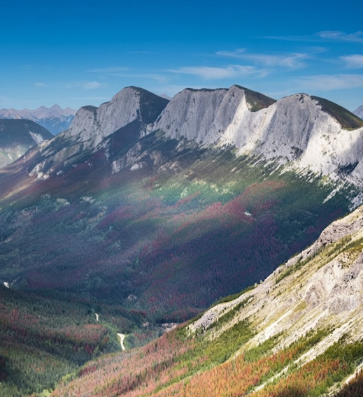
The Trailhead — Leaving the Hot Springs Behind
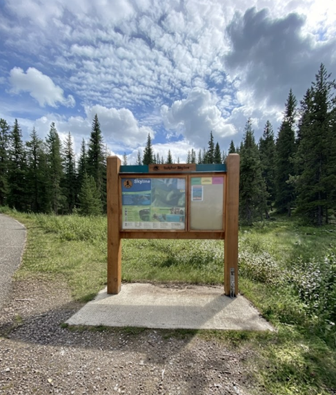
At the roundabout near Miette Hot Springs, a large sign marks the start of Trail #30. Steam rises from the pools, but the trail quickly pulls you away from leisure and into effort. The first steps are deceptively easy: a wide paved path, then gravel, then single track. The forest closes in, spruce and fir pressing tight, the air damp with moss.
Yellow diamond markers guide you forward. The climb begins gently, but the rhythm is unmistakable—upward, always upward.
Into the Forest — The First Ascent
The trail winds through dense trees, roots twisting across packed dirt. Rocks jut from the path, demanding careful footing. At intervals, the forest parts, offering glimpses of ridges across the valley. These are teasers, fragments of the view that waits above.At the 2 km mark, you reach Shuey Pass. A sign points toward the summit: 1.8 km away. The trail narrows, steepens, and the real climb begins.
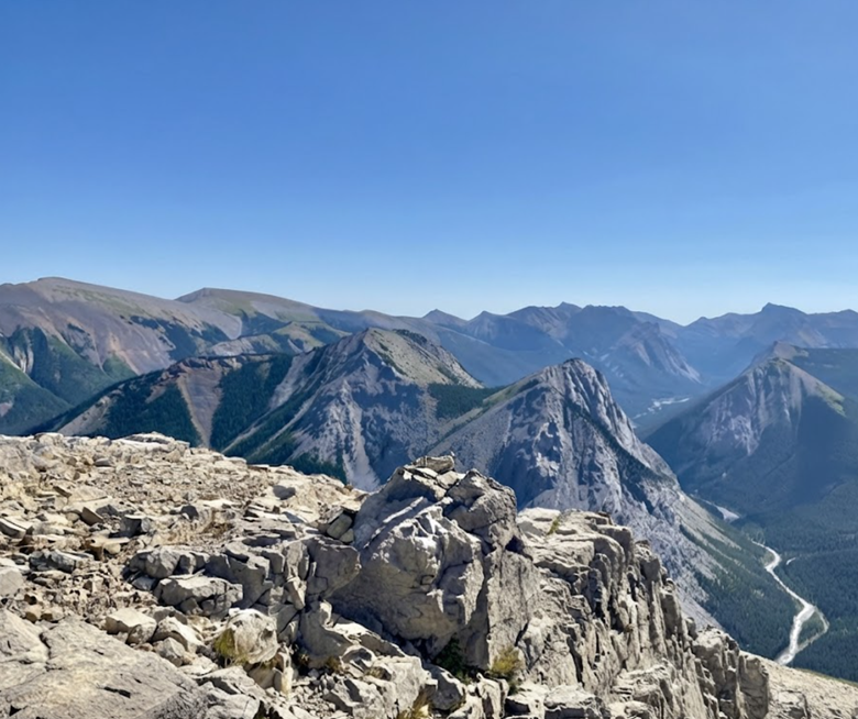
Switchbacks — The Work of the Trail
Two sets of switchbacks define the next section. They are steep, relentless, and require rhythm—step, breath, step, breath. The forest thins, light brightens, and the air cools. Each turn feels like progress, each pause a chance to look back at the valley below.The trail is demanding but not technical. It is a test of endurance, not skill. Boots grip dirt and stone, legs burn, lungs expand.
Breaking Treeline — The World Opens
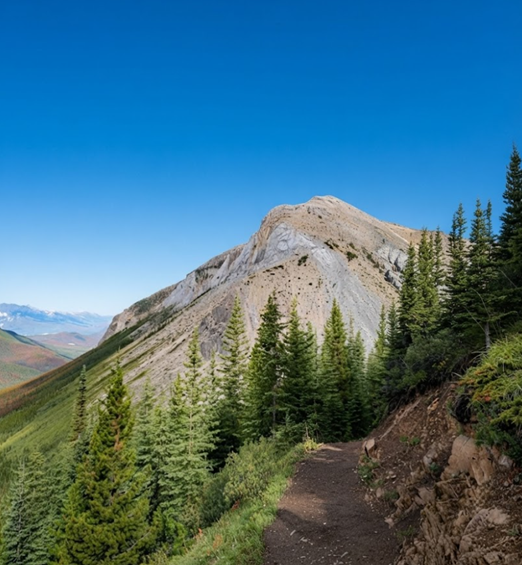
Suddenly, the trees fall away. You emerge into alpine terrain, where grass bends in the wind and stone dominates. The horizon expands in every direction. The Fiddle River Valley unfurls below, Utopia Mountain rises sharp to the west, Ashlar Ridge stretches jagged across the skyline.
The trail continues upward, exposed now, the summit visible ahead. The climb is steep but exhilarating—each step brings more sky, more view, more silence.
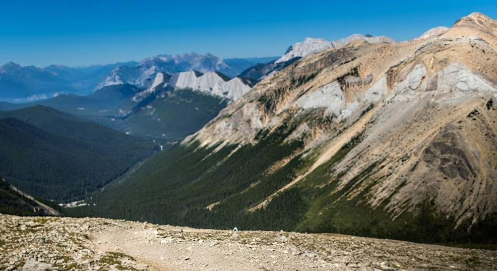
The Summit — 360° of Jasper
At 2,085 metres, the summit of Sulphur Ridge is broad and open. Wind scours the granite, carrying scents of alpine grass. Clouds drift across peaks, shadows race across valleys.From here, the panorama is complete: ridges rolling into distance, valleys carved deep, mountains layered in blue and grey.
On clear days, the view stretches across much of Jasper National Park, encompassing meadows, ridges, and distant glaciers.You sit, legs trembling, and watch the world unfold. The climb has taken 3–4 hours, but the view feels timeless.
The Descent — Returning to Forest
Descending, knees ache, but gravity carries you downward. Switchbacks unwind, forest closes in, and the sound of Oleson Creek returns. The trail feels different in reverse—less demanding, more reflective. At the trailhead, Miette Hot Springs waits. A soak in warm mineral water eases muscles, sealing the memory of ascent with comfort.
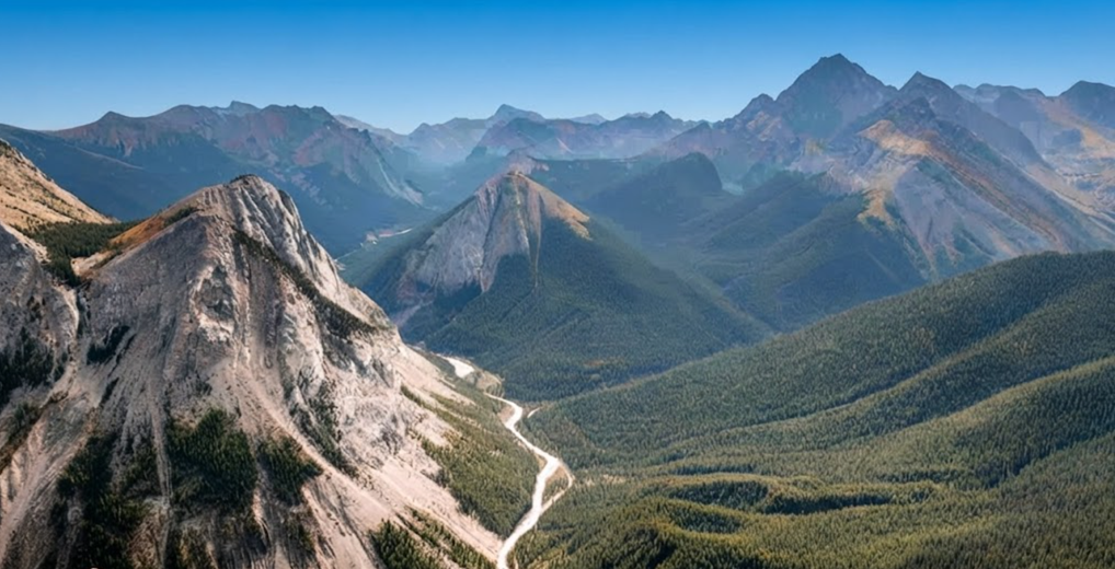
Hiking Stats
Distance: 8.1 km round trip
Elevation Gain: 653 m
Difficulty: Difficult (short but steep)
Time: 3.5–4 hours
Trailhead: Miette Hot Springs
Hiking Atmosphere
Summer: Crowded, busy, vibrant. Hundreds of hikers ascend daily, laughter and effort mingling on the trail.
Spring & Fall: Quieter, cooler, more solitary. Granite slick with rain, views softened by mist.
Winter: Snowbound, often impassable, but hauntingly beautiful.
The trail is not just physical—it is sensory. The smell of cedar, the sound of rushing creeks, the feel of granite beneath palms, the sight of valleys opening wide.
Tips for Hikers
Start Early: Beat crowds and enjoy cooler temperatures.
Footwear: Good boots essential for slick granite and steep scrambles.
Water & Snacks: Hydration and energy matter on sustained climbs.
Weather: Granite becomes slippery in rain; caution is vital.
Wildlife: Bears and elk frequent the area—carry bear spray, stay alert.
Why Sulphur Skyline Matters
The Sulphur Skyline is not the longest hike, nor the highest. But it is unforgettable because it combines accessibility with challenge, and reward with rhythm. In a single half‑day, you climb from hot springs to alpine summit, from forest silence to panoramic sky.It is a hike that feels both communal and personal.
Crowds gather at the trailhead, yet solitude waits at the summit. The trail offers choice—how far you go, how much you climb, how deeply you connect with stone and sky.
The Skyline Trail — Jasper’s Backcountry Epic
If Sulphur Skyline is a half‑day challenge, the Skyline Trail is Jasper’s crown jewel: 44 km of alpine ridges, meadows, and passes, most of it above treeline.
Maligne Lake Trailhead — Into the Journey
The trail begins at Maligne Lake, winding through forest toward Evelyn Creek. Soon, elevation builds, and you reach Little Shovel Pass—your first taste of alpine openness. Meadows stretch wide, dotted with wildflowers, and the horizon expands.
Snowbowl — Meadow Rest
Snowbowl Campground sits in a valley meadow, a favourite stop for those breaking the hike into thirds. Streams run nearby, water easy to collect, and the meadow feels vast and welcoming.
Big Shovel Pass and The Notch — The Test
From Snowbowl, the trail climbs again, toward Big Shovel Pass and the high col known as The Notch. This section is notorious—loose scree, steep ascent, often snowbound until late July. To crest The Notch is to step into another world: ridges sweep out in every direction, and the trail runs like a ribbon across the skyline.
Tekarra — Mountain Refuge
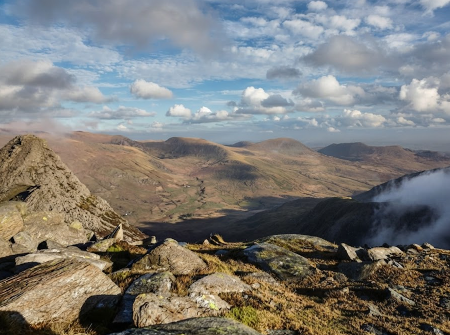
Beyond, Tekarra Mountain dominates the landscape, its rocky flanks towering above the Tekarra Campground. Nights here are cold, stars sharp against alpine air.
Signal Mountain Descent — Return to Valley
The final descent toward Signal Mountain is long, knees grinding, but the valley draws you home. By the end, you have crossed three passes, walked 25 km above treeline, and seen Jasper from its highest vantage.
Hiking Stats
Distance: 44.1 km one‑way
Elevation Gain: ~1,200 m cumulative
Difficulty: Strenuous, multi‑day
Time: 2–3 days (with campsites)
Trailheads: Maligne Lake (south) or Signal Mountain (north)
Atmosphere of the Skyline
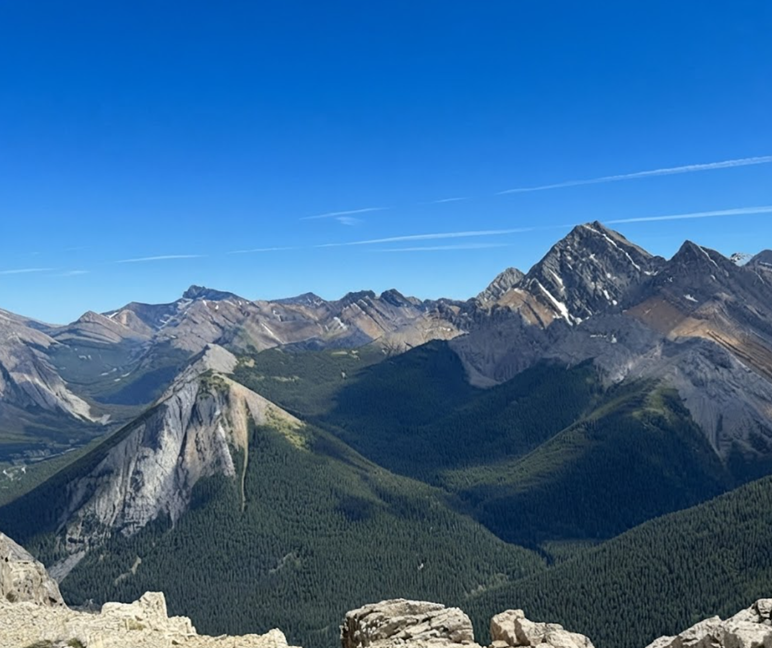
The Skyline Trail is a pilgrimage. Crowds disperse across campsites, and solitude is found on ridges where wind and silence dominate. Snow can linger late, storms can arrive suddenly, but the reward is immense—views that stretch across Jasper, encompassing Mount Edith Cavell, the Icefields Parkway, and even Mount Robson on clear days.
Why the Skyline Matters
The Skyline Trail is Jasper’s most popular backcountry hike because it offers what few trails can: sustained alpine exposure, panoramic views, and a sense of journey. It is not just a hike; it is an immersion into Jasper’s high country, a passage through meadows, ridges, and sky.
Two Trails, Two Journeys
Together, Sulphur Skyline and the Skyline Trail showcase Jasper’s dual identity: accessible day hikes with immediate reward, and multi‑day alpine journeys that demand commitment. Both lift hikers above treeline, into landscapes where sky and stone meet, and where every step feels like a passage into something greater.
Sulphur Skyline is a half‑day ascent, steep and rewarding, ending with a soak in hot springs. The Skyline Trail is a multi‑day epic, demanding and unforgettable, ending with descent into valley after days above the clouds.