
The Árnafjørður – Katlarnir circuit is one of the most demanding hikes in the Faroe Islands. Located on Borðoy Island, this 7.7 km loop combines steep mountain passes, rugged crags, and historic landmarks. It is a trail that requires preparation, caution, and stamina.
Árnafjørður: The Starting Point
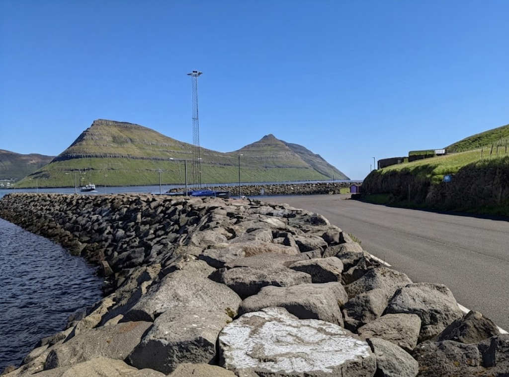
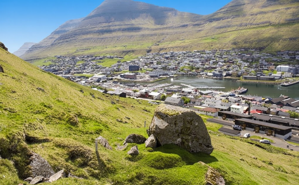
Árnafjørður is among the oldest villages in the Northern Isles. It sits on the east side of Borðoy, framed by steep mountains and a narrow fjord. The community is small, with most residents working in salmon farming. The fjord also provides good lobster fishing grounds. The village has historical significance.
During World War II, drifting mines posed a threat, and the villagers built Minhúsið, a shelter against explosions. This structure still stands near the path leading back into the village. From Klaksvík, the drive to Árnafjørður follows Route 70 north. The road passes through the single-lane Árnafjarðartunnilin tunnel, controlled by traffic lights. After emerging, drivers turn sharply right to descend into the village.
The Trailhead
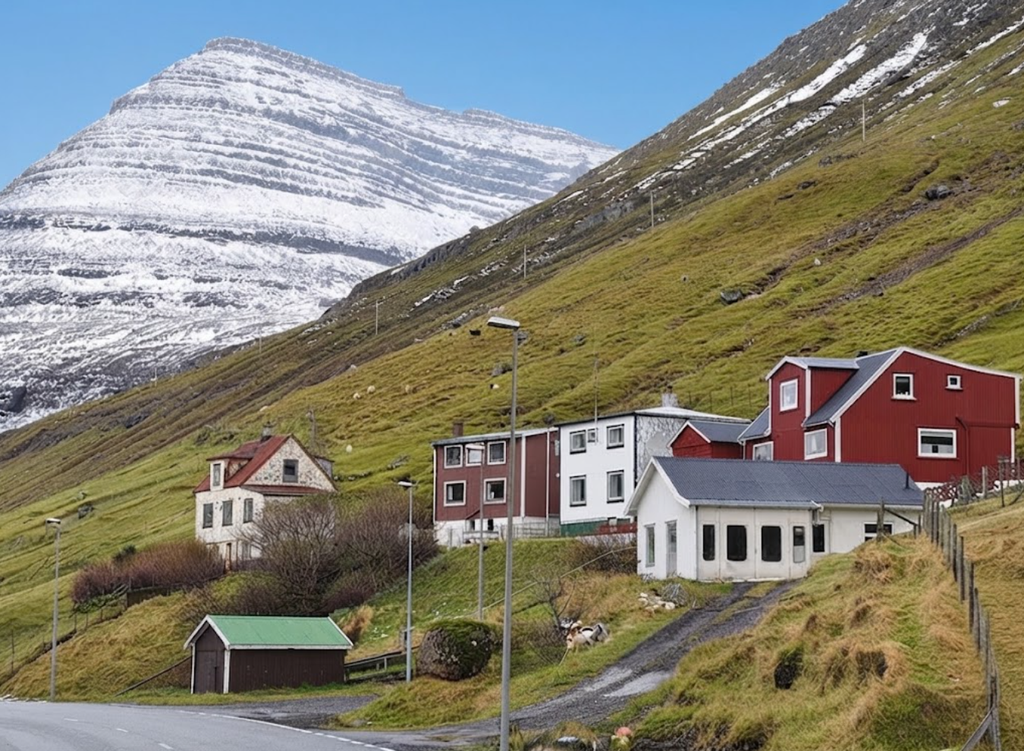
The hike begins near Viðurbyrgi 23. A cattle track leads upward into the outfields. Stones are placed on both sides of the fence to assist crossing. From here, the path climbs steadily toward the eastern shoulder of Tólvmarkaknúkur, a pyramid-shaped mountain visible ahead. The first section is straightforward, with grassy slopes and heather. Cairns mark the way, though they become sparse higher up. GPS navigation is strongly recommended, as the trail is not consistently marked.
Svartidalur Valley
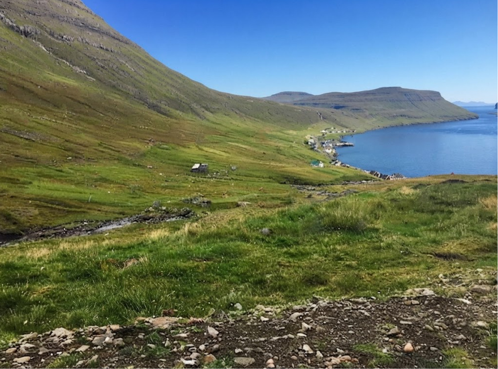
The route enters Svartidalur Valley. This valley is peaceful, enclosed by crags and slopes. The terrain changes from grass to stone, and scrambling is required to ascend vertical sections. Old wooden utility poles, no longer in use, provide a visual guide. Crossing a stream, hikers continue upward until reaching the upper valley. The climb culminates at Toftaskarð Pass, at 466 meters.
Toftaskarð Pass and Hvannasund Viewpoint
Toftaskarð connects Árnafjørður with Norðtoftir. From the pass, a short detour toward Norðtoftir reveals views of Hvannasund Strait and the island of Viðoy. The terrain here is unstable, with loose stones requiring caution. The pass marks the transition from the steep ascent to a plateau section.
Arriving in Hvannasund, you immediately notice how the houses cluster tightly along the shoreline, pressed between the sea and the sheer walls of Viðoy’s mountains. The settlement feels like a quiet anchor point, a place where hikers pause before setting out further north toward Viðareiði.
Hvannasund’s roots are in fishing, and you sense it in the boats tied up along the strait. For hikers, this working rhythm adds a layer of authenticity — trails here don’t just lead to viewpoints, they connect you to a community shaped by the sea. The pier is a gateway.
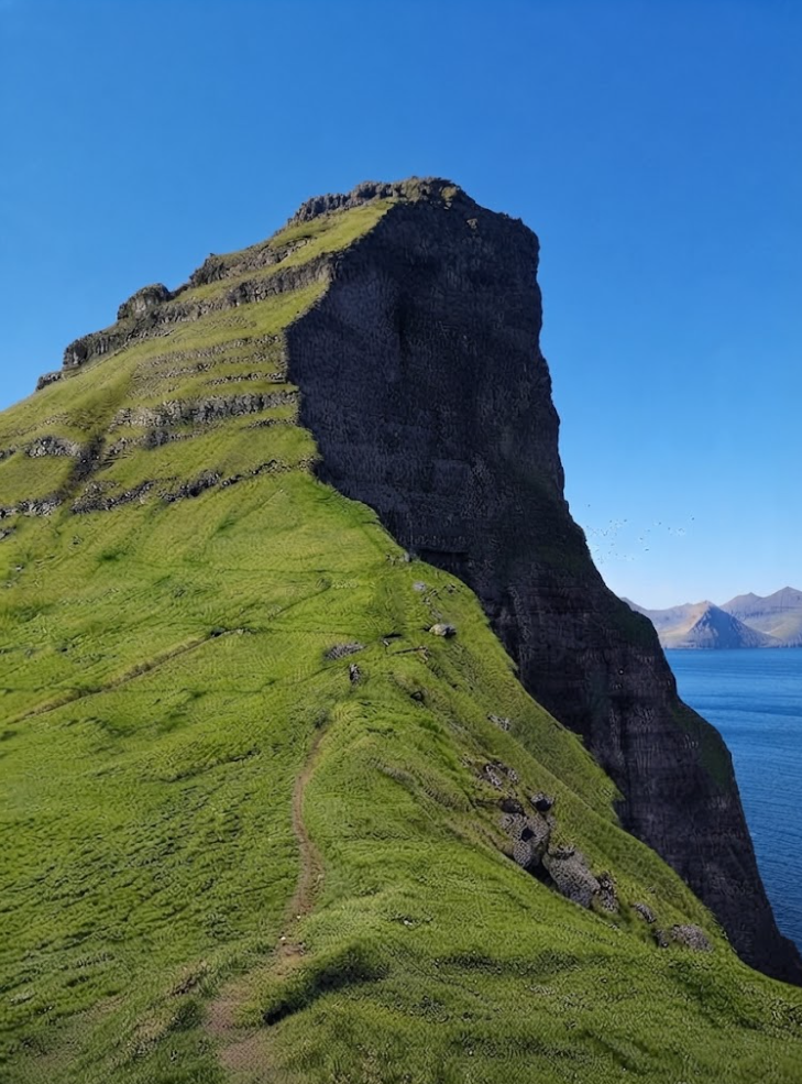
Watching the ferry depart for Svínoy and Fugloy, you realize how Hvannasund links land and sea adventures. These islands, reached by daily departures, promise hikes that feel even more remote and untouched. Crossing the causeway to Norðdepil is a short but memorable walk.
The sight of one of the Faroes’ rare traffic lights here feels almost surreal, a small human marker in a landscape dominated by cliffs and water. The mountains surrounding Hvannasund are some of the steepest in the archipelago. Hiking beneath them is humbling — they rise so sharply that the village feels tucked into their shadow, a reminder of nature’s scale.
From November to March, the darkness here is profound. Hiking at night, the cliffs block what little light filters through, making Hvannasund’s winter nightscape unlike anywhere else in the Faroes. The stars above feel sharper, the silence deeper.
Toftaskarð Pass
Climbing toward Toftaskarð, the trail demands caution. Loose stones shift underfoot, and the ascent feels raw. At the top, the land opens into a plateau, and a short detour toward Norðtoftir reveals sweeping views of Hvannasund Strait and Viðoy Island — a reward for the effort. Hvannasund isn’t just a settlement; it’s a trailhead, a ferry port, and a vantage point. For hikers, it offers a blend of community, raw terrain, and unforgettable views.
Plateau Crossing
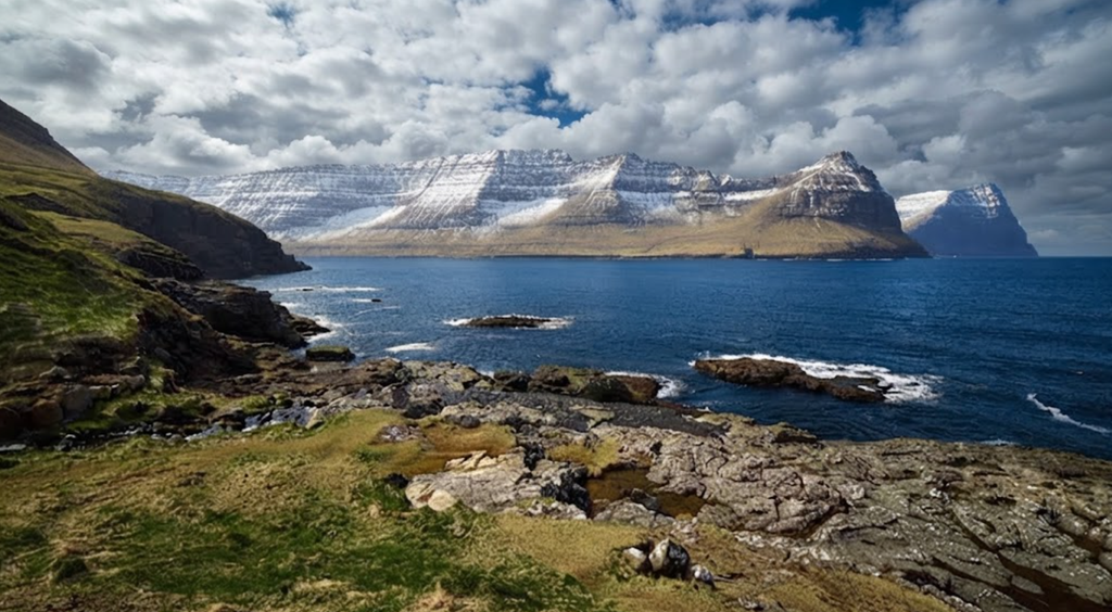
West of Toftaskarð, the trail loops around Tólvmarkaknúkur. This section is easier, with level ground and more cairns. The plateau is covered in tussock grass and scattered rocks. The landscape is open, with wide views across Borðoy.
Uppi á Gjógv Pass
The plateau leads to Uppi á Gjógv Pass. Here, the trail drops abruptly. The descent is steep, with boulders and crags. It feels exposed, as if tipping over the edge of the mountain. Loose stones make footing difficult. Extra care is needed, especially in wet conditions.
Gjógv Loop Trail: A Factual Hiking Account
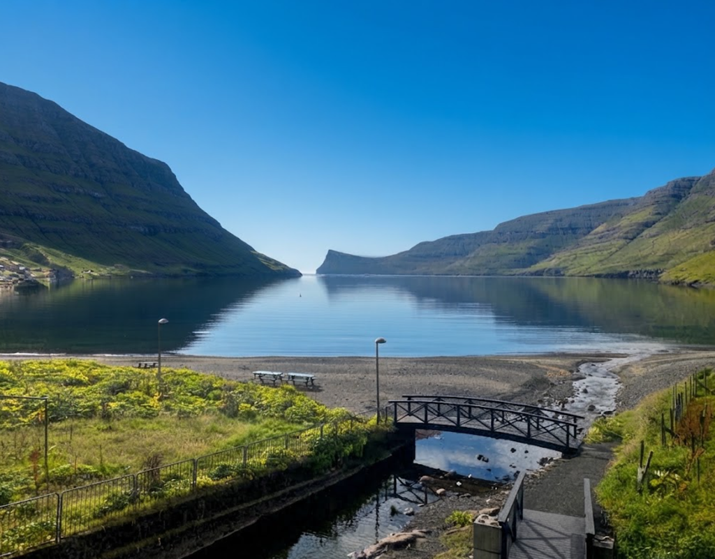
The Gjógv Loop Trail measures 4.5 km in length with an elevation gain of 277 m. The estimated time to complete the loop is between 1.5 and 2 hours, depending on weather conditions and individual fitness levels. The trail begins in the village of Gjógv, a settlement of fewer than 100 houses located at the northern tip of Eysturoy Island.
The village is named after the gorge that cuts into the rock, a 200‑meter natural harbor that historically served as the community’s landing site for boats. The trailhead is well marked and easy to locate. Parking is available near the entrance to the village, with a small lot that accommodates private vehicles. From this point, hikers walk down into the village and toward the gorge before beginning the ascent.
Initial Section
The first portion of the trail passes through the village itself. Colorful houses line the path, and the gorge is visible from multiple angles. Stairs lead down into the gorge, where the sound of the sea can be heard against basalt walls. In summer, the water is calm enough to walk into the gorge safely. In winter, waves crash into the ravine, filling it with foam.
The trail then continues past the village and toward a fence. Crossing the fence marks the transition to a steeper section. This part of the hike requires greater physical fitness and careful footing. The terrain becomes more rugged, and the path runs along cliff edges.
Ascent Toward Fjallið Mountain
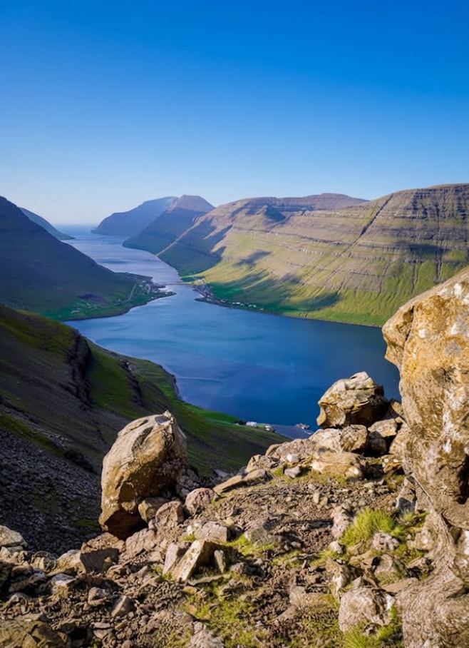
After the fence, the trail climbs toward Fjallið Mountain. The ascent is steady, with sections that demand concentration. Weather conditions play a significant role in difficulty. On clear days, the climb is manageable, but in high winds or rain, the trail can become hazardous. From higher points, panoramic views open across the Atlantic Ocean, the valley below, and distant peaks. The west side of Kalsoy Island is visible, its ridges forming a sequence of pyramid‑like shapes.
Wildlife Observation
Between May and August, puffins nest along the cliffs. Wooden stairs provide access to viewpoints where puffins can be observed. These birds are a highlight of the hike during summer months. Beyond puffins, other seabirds are commonly seen along the cliffs.
Ambadalur Valley and Búgvin
From Gjógv, an additional hike northeast leads to Ambadalur Valley. This extension takes roughly one hour. At the valley, the sea stack Búgvin rises from the water. The stack is a prominent geological feature and a notable landmark for hikers exploring beyond the loop trail.
Village Features
Gjógv contains several points of interest beyond the trail. The guesthouse Gjáargarður provides accommodation for visitors who wish to stay overnight. This hike takes about one hour one way and offers additional views of the coastline.
Driving Access
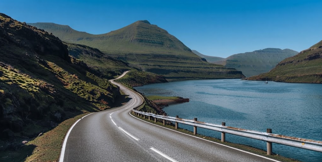
The road from Gjáarskarð Pass descends into Gjógv. The road is narrow but safe, providing a dramatic entry into the village. From Tórshavn, the capital of the Faroe Islands, the drive takes less than one hour.Access to Eysturoy Island is possible via bridges and tunnels. The main underwater tunnel carries a toll of DKK 100 (approximately $14 USD). The toll is added to car rental bills automatically. A northern bridge offers a free alternative route, though it requires a longer drive.
Seasonal Conditions
Weather conditions in the Faroe Islands change rapidly. In winter, the gorge fills with foam as waves crash against basalt walls. High winds can make hiking unsafe. In summer and during shoulder seasons, conditions are calmer, and trails are more accessible. Difficulty levels vary with weather. On calm days, the Gjógv Loop Trail is considered moderate. On stormy days, sections may be impassable. Sturdy footwear and appropriate clothing are essential.
Extended Hiking Options
Beyond the loop, several hikes are available around Gjógv. The cliff hike from Gjáarkaffi offers a 3 km route with 300 m of elevation gain, taking 1–1.5 hours. The Ambadalur Valley hike adds another hour to reach Búgvin. Together, these routes provide multiple options for hikers seeking longer excursions.
Gjógv is situated on Eysturoy Island, one of the larger islands in the archipelago. Its location at the northern tip makes it feel isolated, though access is straightforward via road connections. Gjógv has a permanent population of approximately 49 residents. The settlement is small, with fewer than 100 houses. The community historically relied on the gorge as a harbor before road access was established in 1960.
Katlarnir: The Historic Moot Site
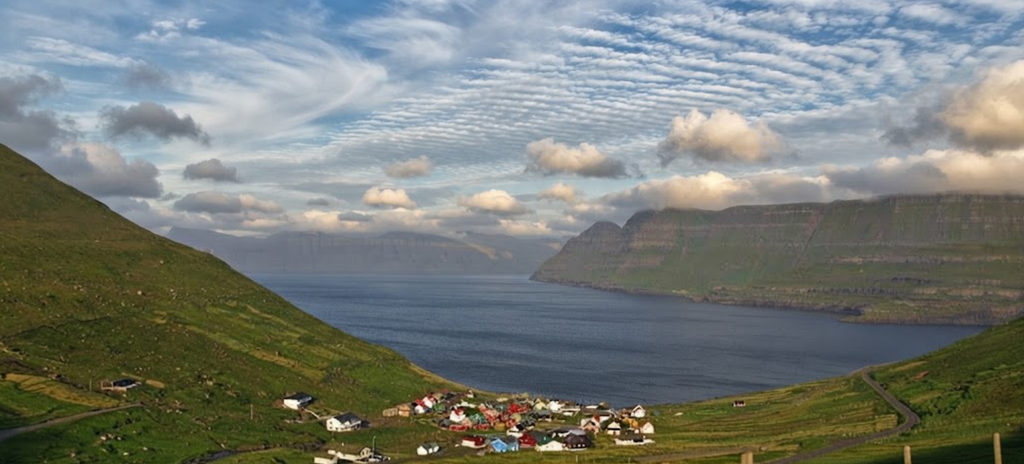
At the base of Uppi á Gjógv, the trail enters Katlarnir. This valley was the site of the Northern Isles spring moot. For centuries, assemblies met here to resolve disputes and pass sentences. The Tingsteinurin boulder marks the center of the site. Surrounding rocks may have served as seats or markers. The ground is level, with exposed bedrock. Katlarnir is one of the most significant historic sites on Borðoy.
Niðari Snæhjalli and Áarskarð Pass
From Katlarnir, the trail climbs diagonally through Niðari Snæhjalli. Cairns mark the way, though some are faint. Fences without gates require crossing at points where stones are stacked.The path leads toward Áarskarð Pass. This section is steep, with crags and uneven terrain.
Grindasteinur: Pilot Whale Boulder
On the descent, hikers pass Grindasteinur. This boulder was historically used to announce pilot whale hunts. Shouts carried down to Árnafjørður, alerting villagers to the event.
Ovarustígar Path
The descent continues through Ovarustígar, also known as uppi í Jørnunum. This section is steep, with iron railings and carved steps. The path is marked with cairns and reflector posts.The terrain is rocky, and the descent requires careful footing.
Return to Árnafjørður
The trail eventually reaches the road between the two tunnels. From here, it is approximately one kilometer back to Árnafjørður. The route passes Minhúsið, the wartime shelter, and follows Válagøtan Path along the ridge.
Trail Facts
Distance: 7.7 km circuit
Duration: 2h 35m to 4h depending on pace
Elevation gain/loss: 560 meters
Minimum elevation: 19 meters
Maximum elevation: 508 meters
Difficulty: Challenging, not suitable for children
Terrain: Grass, heather, crags, steep passes, carved rock steps
Fee: None
Safety Considerations
The trail is challenging. Sections such as Uppi á Gjógv and Ovarustígar require caution. Loose stones, steep crags, and exposed passes make the hike unsuitable for children. GPS navigation is essential, as cairns are sparse in places.
Cultural Significance
Katlarnir is the most important cultural site on the trail. The moot gatherings here connected law and landscape. Grindasteinur reflects the community’s reliance on pilot whale hunting. Minhúsið represents resilience during wartime.
The Árnafjørður – Katlarnir circuit is both a physical challenge and a cultural journey. It combines rugged mountain terrain with historic landmarks. For hikers prepared for steep ascents and careful descents, it offers one of the most rewarding experiences in the Faroe Islands.