
August in Europe is peak season. Trails fill quickly, parking at trailheads overflows, and traffic measures attempt to ease the strain of overtourism. Even the most scenic routes lose their charm when the heat presses down, draining energy from every step.
🌡️ Heat and Crowds
For summer hiking, two priorities guide every choice: avoiding the crowds and staying out of the heat. That immediately rules out the Mediterranean and Southern Europe until autumn.
🏔️ Turning North
The Alps and Northern Europe become the natural refuge. Cooler temperatures make hiking genuinely enjoyable, though even here, the occasional heat wave reminds you that August is never entirely predictable.
🚶 Beyond the Famous Routes
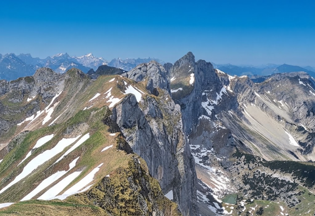
The challenge is finding trails that aren’t overrun. Skip the fame of the Tour du Mont Blanc or the bravado of the Adlerweg. Instead, look for routes that deliver scenery, cultural encounters, and a sense of escape.
🌲 Our Recommendations
We’ve reviewed a mix of day hikes and hut‑to‑hut journeys designed for August hiking without the chaos. Each offers space, beauty, and the solitude that makes the effort worthwhile. Whether you’re tracing ridgelines in the Alps, wandering fjordside paths in Norway, or exploring quiet valleys in Appenzell, these routes balance accessibility with tranquility.
✉️ Stay Connected
If you follow these recommendations, leave a comment, say hello on Instagram, or reply to any of our newsletters. Sharing your August hiking stories helps others discover trails that remain peaceful even in peak season.
1. Belle Île en Mer, Coastal Hike, Brittany, France
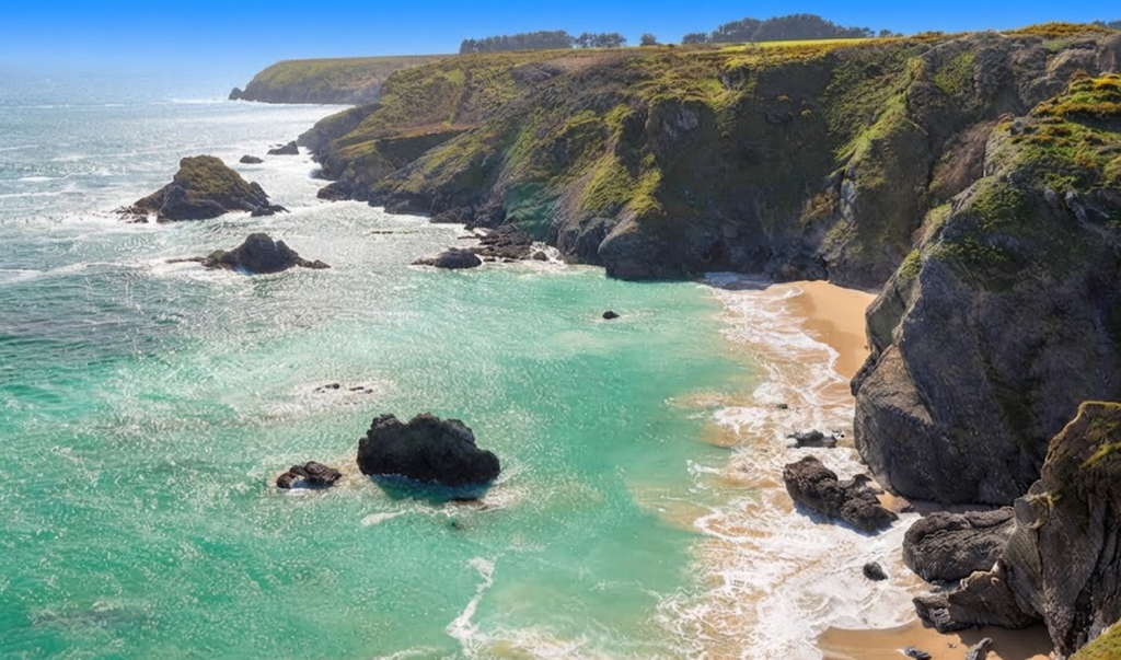
Belle‑Île‑en‑Mer, France’s second‑largest island, rises from the Atlantic just beyond Quiberon and rewards slow exploration. With 58 beaches, dramatic cliffs painted by Monet, and four small towns, it feels both intimate and varied. The ferry to Le Palais sets the tone: granite cliffs, green plateaus, and the looming Citadelle Vauban above a relaxed harbor.
The island is best discovered on foot along the GR 340 coastal trail, an 80‑kilometer loop that reveals Belle‑Île’s raw geography. At Pointe des Poulains, a lighthouse overlooks the surf, and at low tide hikers cross to the Poulains Islet for solitude and sweeping views.
Southward, heathland stretches endlessly, dotted with wildflowers and bird reserves like Koh Kastell. The Apothicairerie cave dramatizes the island’s geology, with cliffs plunging into the Atlantic. The trail leads to Sauzon, a pastel harbor town and gateway to sheltered coves. Further on, Bangor reveals the jagged Aiguilles de Port‑Coton, immortalized by Monet.
In the southeast, Locmaria offers solitude, fortins, and the island’s highest cliffs.Belle‑Île is 17 kilometers long, 9 wide, and home to 5,500 residents. May, June, and September are ideal months, with warm seas and fewer crowds. Walking the GR 340 is more than scenery; it is rhythm — tides, footsteps, landscapes shifting from cliffs to coves. Whether for a day trip or a full loop, Belle‑Île leaves an impression of authenticity, beauty, and slower living.
2. Kasten – Saxer Lücke Hiking, Switzerland
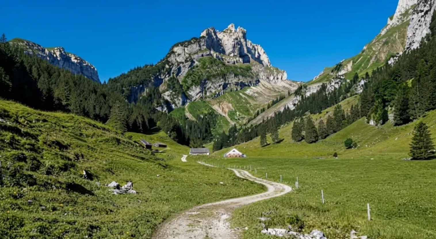
The Hoher Kasten – Saxer Lücke hike in Switzerland’s Alpstein range is a six‑hour journey of contrasts, blending geology, scenery, and playful descent. Starting in Brülisau, hikers ascend by cable car to Hoher Kasten at 1791 meters, where the Rhine Valley spreads beneath jagged limestone ridges.
The trail toward Staubern is narrow but manageable, with rocky stairs and cliffside paths leading to a mountain hotel that offers sweeping terrace views. Beyond Staubern, the ridge narrows again, revealing Sämtisersee and glimpses of Fälensee. Autumn colors ignite the forest, clouds spill over Säntis, and the trail feels alive with detail.
The highlight is Saxer Lücke, a dramatic rock window carved into the ridge, framing valleys and cliffs in breathtaking symmetry.From Saxer Lücke, steep switchbacks descend to Fälensee, where the inn at Bollenwees serves rösti, a hearty reward after hours of hiking.
The final descent toward Brülisau is long and tiring, but at Ruhesitz, hikers can rent trotti scooters for a joyful glide through alpine pastures. Covering 16–17 kilometers, the hike is open mid‑June to mid‑October. It is demanding but family‑friendly, with shorter routes available. What lingers most is the light: alpenglow on cliffs, moonrise over Austria, and the timeless view from Saxer Lücke — a hike that feels like walking through both geology and memory.
3. Marwees Ridge Hike
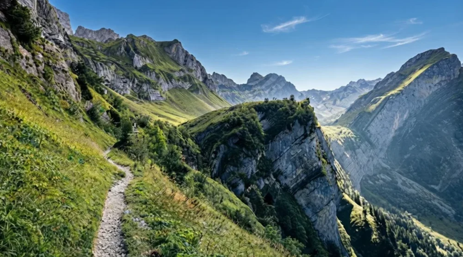
The Marwees Ridge Trail in Switzerland’s Alpstein massif is a demanding yet rewarding hike that blends forest ascents, alpine pastures, and exposed ridges. Starting in Wasserauen, hikers climb through beech forest and pastures toward Bogartenlücke, a saddle marked by warnings of alpine terrain.
From here, the trail intensifies, rising past the dramatic Dreifaltigkeit spires before reaching the eastern summit of Marwees at 1991 meters. The ridge walk is the highlight: narrow, exposed, and exhilarating, with sweeping views of Schäfler, Säntis, and valleys falling away on both sides.
Descending toward Meglisalp, hikers encounter alpine huts and pastures, a reminder of human life woven into the landscape. The trail continues to Seealpsee, where turquoise waters reflect the ridge, offering a serene conclusion before returning to Wasserauen. Covering 14.5 kilometers with 1225 meters of elevation gain, the hike takes about seven hours and is rated T3 for difficulty.
It demands dry, stable weather and steady footing, especially along the exposed ridge. The contrasts define the experience: enclosed forest versus open panoramas, strenuous climbs versus tranquil lakes, effort balanced by immense reward. For those seeking challenge and beauty, Marwees offers one of Appenzell’s finest day hikes — a journey that feels less like a route and more like a revelation.
4. Lisengrat Ridge, Switzerland
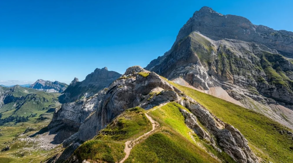
The Lisengrat Ridge in Switzerland’s Alpstein massif is one of the country’s most spectacular hikes, linking Mount Säntis at 2,502 meters with Altmann at 2,435 meters. From the summit of Säntis, reached by cable car from Schwägalp, the ridge appears impossibly narrow, yet ladders, staircases, and steel cables installed since 1905 make it traversable.
Restored in 2010, the route is both a trail and a monument to alpine audacity.The path is marked white‑red‑white, Switzerland’s designation for moderate mountain hikes, though its exposure makes it feel far more daring. Narrow ledges, airy traverses, and staircases clinging to cliffs demand focus, but fixed cables provide reassurance.
Weather defines the experience: in mist, the ridge feels ghostly and precarious; in clear skies, it becomes a balcony over the Alps, with views stretching from Lake Constance to the Bernese Oberland. Life clings to the ridge—edelweiss, gentian, and alpine roses bloom in cracks, while chamois and marmots move across slopes.
The trail descends toward Rotsteinpass, where a hut offers rest and reflection. Covering 5.1 kilometers with 400 meters of elevation change, the hike takes 2.5–3.5 hours and is best tackled June to September in dry conditions. To cross Lisengrat is to walk the edge of the sky: a journey of history, geology, and exhilaration, leaving hikers with a memory carved into stone and cloud.
5. Árnafjørður – Katlarnir Circuit Trail
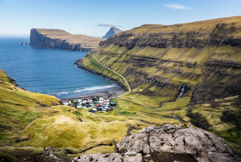
The Árnafjørður – Katlarnir Circuit Trail on Borðoy Island is one of the Faroe Islands’ most demanding hikes, combining rugged terrain with deep cultural history. Beginning in Árnafjørður, one of the archipelago’s oldest villages, the 7.7 km loop ascends through grassy slopes and heather toward the eastern shoulder of Tólvmarkaknúkur.
The route enters Svartidalur Valley, where scrambling is required, before reaching Toftaskarð Pass at 466 meters. From here, hikers glimpse Hvannasund Strait and Viðoy Island. The trail then crosses a plateau around Tólvmarkaknúkur before plunging steeply at Uppi á Gjógv Pass. Descending into Katlarnir, hikers encounter the Tingsteinurin boulder, marking the site of historic moots where disputes were settled.
The path continues through Niðari Snæhjalli and Áarskarð Pass, passing Grindasteinur, once used to announce pilot whale hunts. The final descent via Ovarustígar features iron railings and carved steps before returning to Árnafjørður, passing Minhúsið, a World War II mine shelter. Covering 560 meters of elevation gain, the hike takes 2.5 – 4 hours and is rated challenging, unsuitable for children. GPS navigation is essential, as cairns are sparse.
Beyond its physical demands, the circuit is a cultural journey, weaving together wartime resilience, whale hunting traditions, and centuries of community law. For prepared hikers, it offers one of the most rewarding experiences in the Faroes — a blend of raw mountain terrain and historic landmarks.
6. Stage Five of the Tell Trail: Stanserhorn to Engelberg
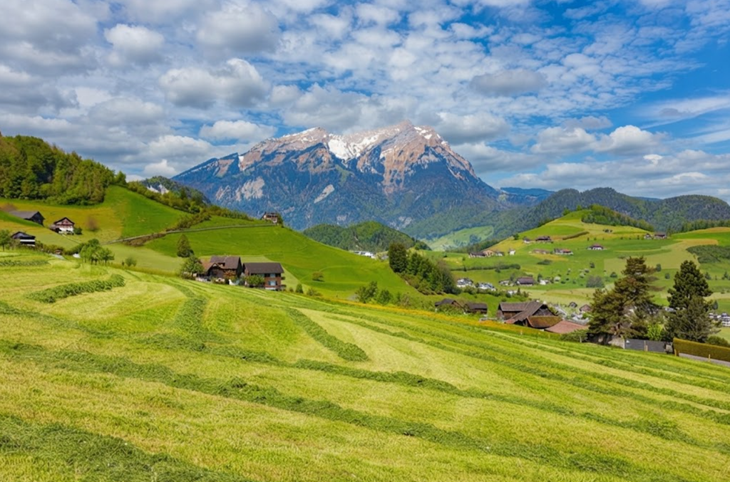
Stage Five of the Tell Trail: Stanserhorn to Engelberg is the most dramatic section of this 208‑kilometer Swiss route, combining technical ridge walking, alpine hospitality, and solitude. Starting in Stans, hikers ascend via the CabriO cable car to the Stanserhorn summit at nearly 1,900 meters, with sweeping views of Lake Lucerne and the Alps.
From here, the trail descends gently to Ächerlipass before climbing steeply through the Arvi forest to the Arvigrat Ridge, a balcony suspended between valleys. The ridge walk continues along Gräfimattgrat and the exposed Wagenleis passage, secured with ropes, before crossing the Schluchigrat.
At Storeggpass, hikers pause before reaching Lake Luter, a tranquil alpine mirror. The trail then climbs to Bocki Summit at 2,155 meters, the highest point of the stage, before descending steeply toward Engelberg. Along the way, stops at Haltenhütte and the Untertrübsee dairy offer traditional Sbrinz cheese and alpine hospitality.
Covering 25.1 kilometers with 1,501 meters of ascent and 2,375 meters of descent, the hike takes about 10 hours. Overnight stays at Alp Laucheren or shortcuts via cable cars provide flexibility. Best tackled June to September, the trail demands stamina, caution, and preparation. Stage Five embodies Swiss hiking culture — exposed ridges, working dairies, and authentic solitude — making it one of the most unforgettable alpine experiences.
7. Liechtenstein Panorama Trail: Four Days in the Alps
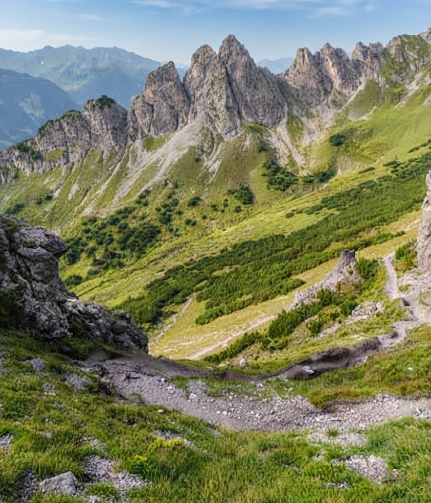
The Liechtenstein Panorama Trail (Route 66) is a demanding yet rewarding four‑day trek across the Alps, rising above the Rhine Valley and weaving through forests, pastures, and exposed ridges. Covering around 30 km, it combines moderate to difficult terrain with technical sections requiring ladders, ropes, and sure‑footedness. The journey begins in Planken and ends in Malbun, with accommodation in huts and a hotel.
Day One climbs from Planken through foggy forests to Gafadurahütte, offering solitude and reflection. Day Two is the most challenging, traversing the exposed ridges of Drei Schwestern and Fürstensteig, where ropes and ladders secure narrow paths. Fog and steep descents test endurance before reaching Steg and onward by bus to Malbun. Day Three adapts to heavy rain, choosing a lower valley route instead of the dramatic ridge over Chrüppel and Wanghöhe.
Encounters with Highland cows and steady climbs lead to Pfälzerhütte, a simple but welcoming Alpine Club hut. Day Four rises briefly above 2,000 m before descending to Malbun, where wide panoramas finally reveal the trail’s name.The hike demands alpine experience, confidence with heights, and adaptability to weather.
Essentials include waterproof gear, hiking poles, gloves for ladders, and offline maps. Public buses connect all trailheads, and wild camping is prohibited. Best from late June to September, the Panorama Trail blends solitude, technical challenge, and alpine hospitality, offering one of Europe’s most memorable multi‑day hikes.
8. Adlerweg Austria Hiking Trail
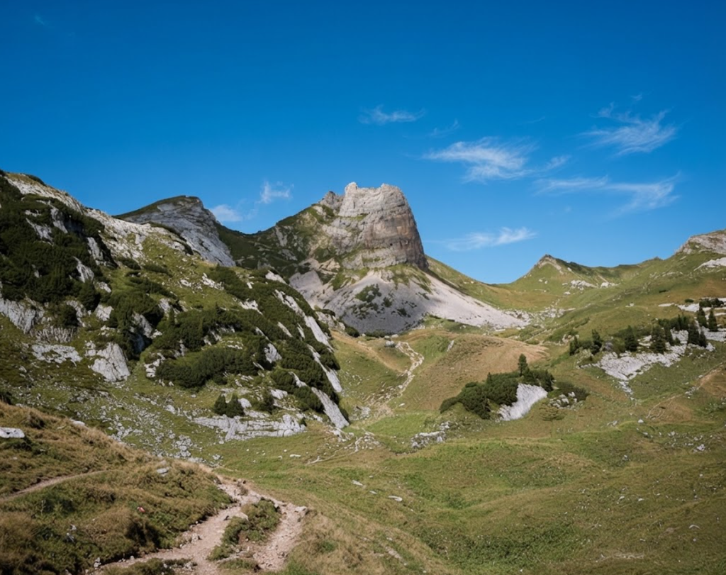
The Adlerweg (Eagle Walk) is Austria’s premier long‑distance hiking trail, stretching 413 kilometers across the Tyrolean Alps from St. Johann to St. Anton am Arlberg. Divided into 33 stages averaging 12–15 km, it mirrors the eagle on Tyrol’s coat of arms and blends physical challenge with cultural immersion.
Officially designated in 2005, the route links existing trails, marked by eagle‑logo signs and supported by huts, guesthouses, and public transport connections. Terrain varies dramatically: the Lechtal Alps in the west are the most demanding, with exposed ridges and cable‑protected sections; the Karwendel Mountains feature limestone valleys and scarce water sources; while the Wilder Kaiser in the east offers accessible meadows and villages.
Along the way, hikers encounter Tyrolean farming traditions, painted facades, World War I fortifications, and remnants of mining.The season runs June–September, with July and August busiest. Completing the full trail requires endurance, technical skills, and preparation for daily elevation gains often exceeding 1,000 meters.
Certificates are awarded to finishers. For shorter treks, a five‑day Karwendel Alps highlight covers 80 km and 4,500 meters of ascent. The final stage, over the Lafatscher Joch and Goetheweg ridge, is the technical crux. Rest stops like Achensee provide recovery between demanding sections.
With 31,000 meters of total elevation gain, the Adlerweg is both a lifelong project and a benchmark in European hiking, offering a profound connection to Tyrol’s landscapes and culture whether completed in full or in sections.