
Where Geology Becomes Story
In western Newfoundland, Gros Morne National Park is not just scenery, it is narrative. Here, landscapes are chapters in Earth’s autobiography: continents colliding, mountains rising, glaciers carving, and time eroding. Two places embody this story most vividly — the Tablelands, where mantle rock lies exposed, and Gros Morne Mountain, where tundra crowns the Long Range. Together, they form a dialogue between the Earth’s inner soul and its alpine summit.
The Tablelands — Half a Billion Years in the Making
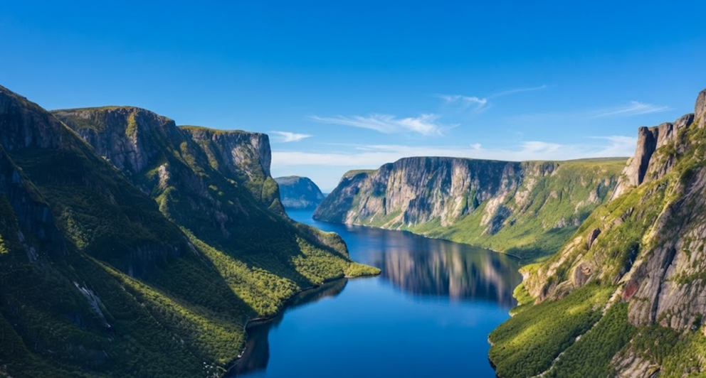
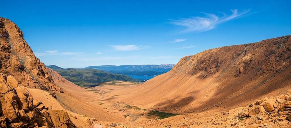
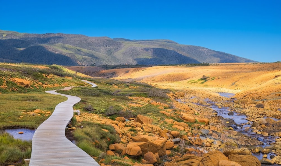
The Tablelands are surreal. Rust‑coloured slopes rise barren and lifeless, a desert in the middle of a green park. This is mantle rock — normally buried deep beneath the crust — thrust skyward when ancient continents collided to form Pangea.Walking here is walking on the Earth’s mantle. Few places on the planet allow such intimacy with geology.
The rock is toxic to most plants, rich in heavy metals, poor in nutrients. The result is a landscape stripped of lushness, yet alive with rare species adapted to hardship.
Guided Walk — “Walk Upon the Earth’s Mantle”
Parks Canada interpreters lead the Walk Upon the Earth’s Mantle, a two‑hour guided hike that transforms geology into story. Guides explain how the Tablelands changed our understanding of plate tectonics, how glaciers carved valleys, and how plants cling to inhospitable soil.
The walk is not just educational — it is atmospheric. Voices echo against barren slopes, footsteps crunch on gravel, and the silence of the mantle feels immense.
Self‑Guided Exploration
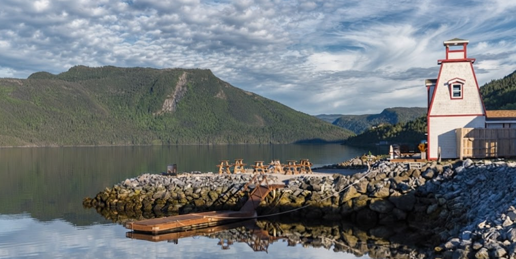
The Tablelands Trail is an easy 4 km return along an old roadbed. It skirts the base of the mountain, ending at Winter House Brook Canyon — a glacial amphitheatre of stone. For a shorter wander, the Serpentine Loop winds among rare plants adapted to mantle chemistry.
For experienced hikers, off‑trail climbs up the steep slopes offer solitude and perspective, though navigation skills are essential.
Other Perspectives
Trout River Pond Trail: A quieter path along the shore, leading into the heart of the Tablelands.
Lookout Trail & Villages: From Norris Point or Woody Point, the Tablelands appear in stark contrast to surrounding green hills and blue saltwater.
Scenic Route 431: Driving between Woody Point and Trout River, the divide is dramatic — lush forest on one side, barren mantle on the other.
Atmosphere of the Tablelands
Morning: Mist clings to slopes, silence feels ancient.
Midday: Sunlight burns orange rock, hikers scatter across the trail.
Evening: Shadows deepen, the mantle glows rust‑red, solitude returns.
The Tablelands are not just geology — they are mood, rhythm, and perspective.
Gros Morne Mountain — The Crown of the Park
If the Tablelands are the Earth’s mantle exposed, then Gros Morne Mountain is the park’s crown. Rising to 806 m, its flat summit is a slice of Arctic tundra far south of its usual range. Caribou, Arctic hare, and ptarmigan roam among fragile alpine plants. The trail is demanding: 17 km return, 6–8.5 hours, with 1000 m of elevation gain. It is closed each spring (May 1–June 27) to protect wildlife during critical growth weeks.
The Approach Trail
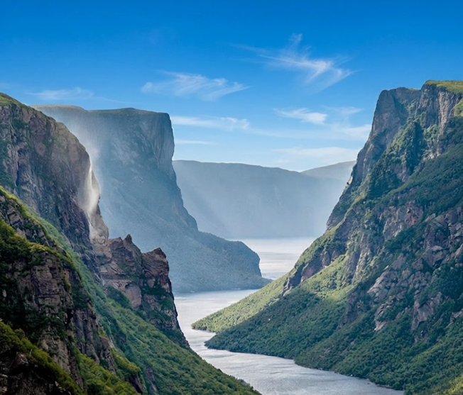
The Approach Trail is 9 km return, rated moderate. It climbs gradually through forest, following Crow Gulch Brook. Waterfalls, cliffs, and a bridge overlook make this section rewarding even if you stop before the summit.
The Summit Trail
The Summit Trail is an 8 km loop, rated difficult. It begins with a grueling ascent up a scree slope, then traverses the rocky plateau before descending through Ferry Gulch. Recommended clockwise to avoid the dangerous downhill scree.At the summit, cairns mark the route across tundra. The plateau is harsh, wind‑swept, and fragile. Plants grow slowly, soils are thin, and wildlife is vulnerable.
Atmosphere of the Climb
Morning: Mist veils the mountain, waterfalls echo in gulches.
Midday: The climb burns lungs, but horizons widen with each step.
Summit: Wind lashes, tundra plants cling to stone, silence feels Arctic.
Descent: Boulder‑strewn paths test knees, but views of Ten Mile Pond gorge are unforgettable.
Safety and Preparation
Carry 3 litres of water per person. Leave early to avoid darkness; bring a flashlight. Wear boots with traction and ankle support; poles ease descent. Check forecasts — the summit is often cloud‑covered and colder than the base. Respect wildlife and fragile tundra plants; stay on the trail.
Tablelands vs Gros Morne Mountain — A Contrast
Gros Morne Mountain – Arctic-alpine summit and it’s trail is difficult 17km return. The atmosphere is harsh, wind-swept tundra.
Tablelands – Exposed mantle rock and it’s trail is easy 4km return. The atmosphere is surreal, barren, orange.
Why They Matter
Together, the Tablelands and Gros Morne Mountain embody Gros Morne’s essence: geology exposed, ecosystems fragile, landscapes vast. One shows the mantle, the other the alpine summit. Both demand respect, preparation, and awe.
Walking Through Time
To hike the Tablelands is to walk upon the Earth’s mantle, half a billion years thrust skyward. To climb Gros Morne Mountain is to step into Arctic tundra, harsh yet beautiful. Together, they are a dialogue between inner soul and summit crown, between geology and atmosphere, between time and experience.