
Arrival in the Jungfrau Region
Switzerland in July is a dream realized. The Jungfrau region of the Bernese Oberland greets travelers with a panorama of high alpine peaks and valleys that seem to spill endlessly from the gateway town of Interlaken. With Lauterbrunnen as a home base and a travel pass tucked safely in hand, the mountains opened themselves like a vast stage.
Each day’s hike revealed a new act—cowbells echoing across meadows, waterfalls tumbling from cliffs, and trails that wound through villages so picturesque they seemed painted rather than built.
Mürren: The North Face Trail
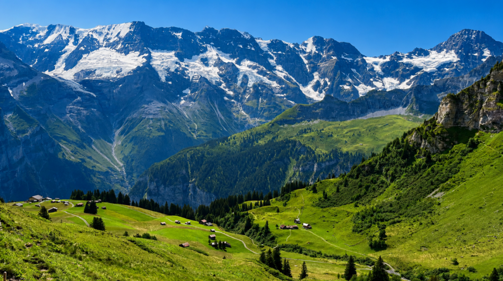
The mountain village of Mürren was the first introduction to hiking in the Oberland. The walk from Grütschalp to Mürren is gentle, following the train line through forests and meadows. Once in town, the North Face Trail begins with a stroll past chalets adorned with Swiss flags, neatly stacked firewood, and whimsical garden gnomes.
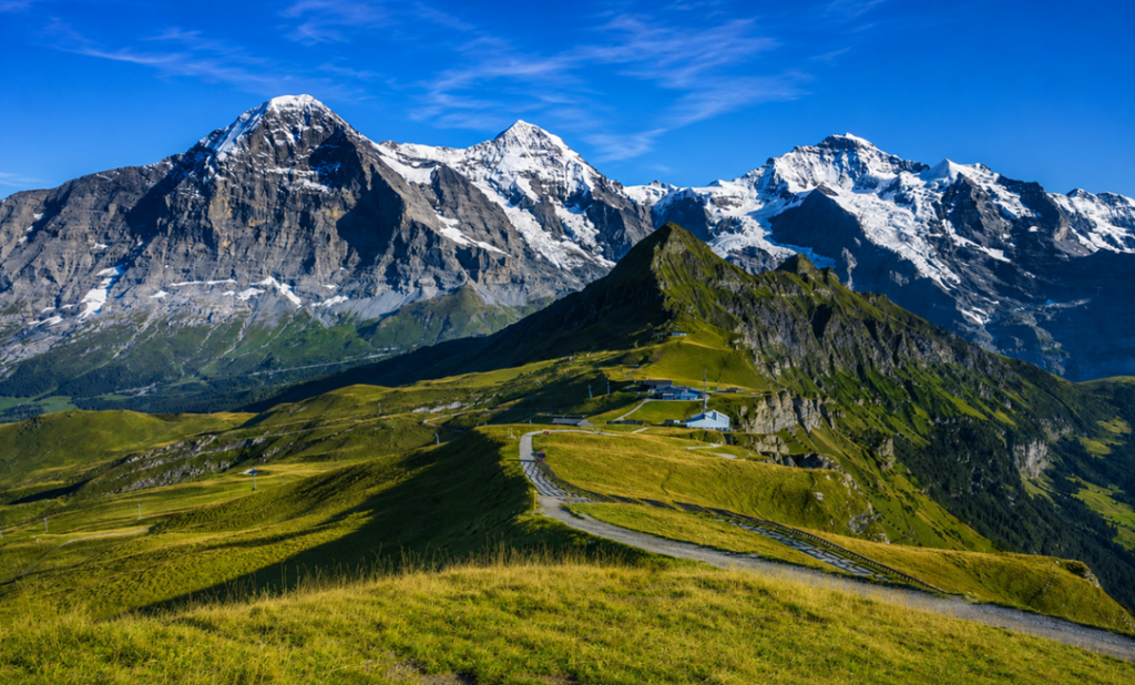
Clockwise along the loop, the trail climbs gradually through fields where the Eiger, Mönch, and Jungfrau rise in misty grandeur. Cowbells ring faintly before the animals themselves appear, grazing calmly beside the path. It is Switzerland distilled into a single moment—mountains, meadows, and the quiet rhythm of pastoral life.
Trail Details
Grütschalp to Mürren: 2.8 miles
North Face Trail loop: 5.2 miles
Access: Cable car from Lauterbrunnen to Grütschalp, then walk or rail to Mürren.
Gimmelwald: A Village in Miniature
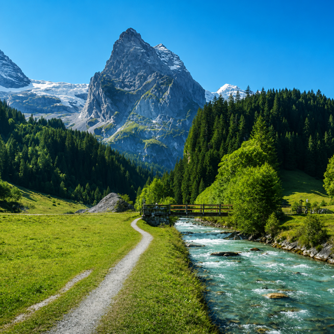
From Mürren, a paved path descends gently to Gimmelwald, a village of scarcely 100 residents. The walk takes about half an hour, and as the rooftops come into view, the peaks tower behind them like guardians. The village charms with its wooden houses, cowbells hung in descending order of size, and the Honesty Shop—a self-service store where visitors pay what they owe for local crafts and food. It is a place where trust is currency, and the pace of life feels untouched by time.
Trail Details
Mürren to Gimmelwald: 1.5 miles one way
Access: Path begins behind Mürren’s cable car station.
Lauterbrunnen Valley: The Valley of Waterfalls
Descending further by cable car, the Lauterbrunnen Valley offers a flat, leisurely walk from Stechelberg to Lauterbrunnen. Known as the “valley of many fountains,” it is home to 72 waterfalls. The river runs beside the trail, cottages dot the meadows, and cliffs rise dramatically on either side.
Highlights include Trümmelbach Falls, ten glacial-fed cascades hidden inside the mountain, and Staubbach Falls, one of Europe’s tallest free-falling waterfalls. For thrill seekers, the valley is also a stage for BASE jumpers, their parachutes blooming against the cliffs.
Trail Details
Stechelberg to Lauterbrunnen: 3 miles one wayAccess: Begin at Stechelberg cable station, cross the stream, and follow the path.
Harder Klum and the Hardergrat Ridge
For those seeking challenge, the Hardergrat Trail is legendary. Stretching 15 miles along a narrow ridge, it demands skill and caution. A shorter option begins at Harder Klum and climbs towards Augstmatthorn. The funicular from Interlaken Ost delivers hikers to Harder Klum, where a viewing platform overlook Lake Brienz.
The trail begins in shaded forest, roots forming natural steps, before opening into meadows alive with wildflowers and butterflies. At the ridgeline, the ascent steepens, but the views—lake shimmering below, peaks rising above—are worth every breath.
Trail Details
Harder Klum to Augstmatthorn: 10.7 miles out and back
Access: Train from Lauterbrunnen to Interlaken Ost, then funicular to Harder Klum.
Kleine Scheidegg: The Panorama Trail
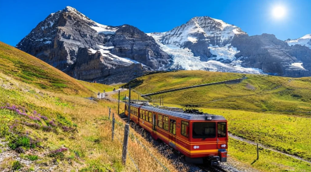
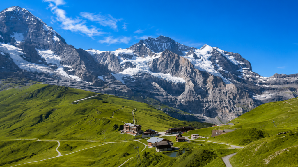
The Panorama Trail from Männlichen to Kleine Scheidegg is a gentler finale. Rolling hills bloom with clover and alpine flowers, while the Eiger, Mönch, and Jungfrau dominate the horizon. On this day, clouds played hide-and-seek with the peaks, drifting in and out like curtains on a stage.
The Royal Walk, a short uphill detour, leads to a crown-shaped platform with 360-degree views. At trail’s end, connections to the Eiger Trail or the Jungfraujoch train await, offering further adventures.
Trail Details
Panorama Trail: 3 miles one way
Access: Rail to Wengen, cable car to Männlichen.
Beyond the Jungfrau: The Wider Oberland
The Bernese Oberland stretches far beyond Lauterbrunnen and Interlaken. In winter, resorts like Gstaad, Adelboden, Lenk, and Kandersteg draw skiers. In summer, they transform into havens for hikers. Trails are well-marked, accessible, and rich with alpine character—waterfalls, meadows, valleys, lakes, and the ever-present opportunity to taste local cheeses.
The Gasterntal Valley: A Hidden Gem
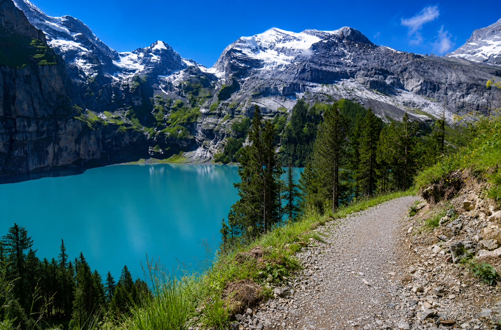
Among these, the Gasterntal Valley near Kandersteg is a quieter treasure. The trail winds 5.5 miles through glacier-carved landscapes, following the Kander river past the Chluse gorge and waterfalls that surge with energy. It is an easy walk, suitable for families, yet filled with grandeur.
The valley feels secretive, less visited, and more intimate than the famous Jungfrau routes. To reach it, travelers take a bus from Kandersteg station to Selden, booking in advance. Walking in reverse, the path begins behind the station, crosses the river, and continues to the Sunnbüel cable car station.
The Spirit of the Oberland
What unites these trails is not just scenery but atmosphere. Cowbells echo across meadows, waterfalls thunder from cliffs, and villages welcome with quiet charm. The Bernese Oberland is a place where nature and culture intertwine seamlessly.
From Mürren’s North Face Trail to the hidden Gasterntal, each hike offers its own rhythm—gentle strolls, challenging ridges, or valley walks beside rivers. Together they form a mosaic of experiences, each one deepening the sense of awe.