
Appenzell > Things to do in Appenzell > Kasten – Saxer Lücke Hiking
The Ascent into the Ridge
The journey begins in Brülisau, a small Appenzell village where the Hoher Kasten cable car station sits at the edge of the valley. Boarding the cabin feels like stepping into a portal: the ground falls away, meadows shrink into a patchwork quilt, and the ridges of the Alpstein rise like jagged teeth.
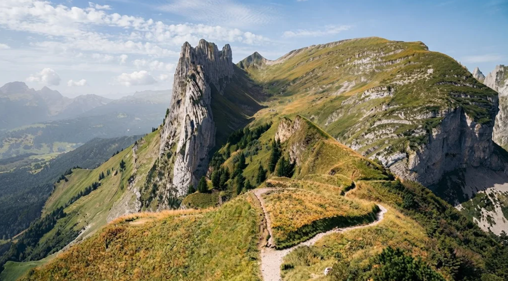
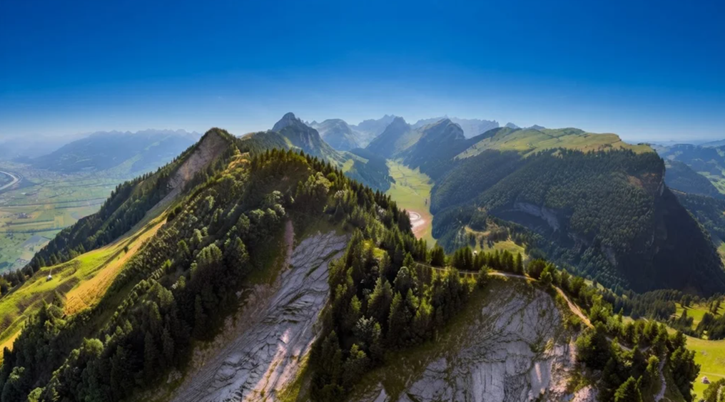
In just minutes, you are lifted to 1791 meters, standing at the summit of Hoher Kasten with the entire Rhine Valley unfurling beneath you. The ridge trail ahead is not simply a path but a geological timeline, each layer of limestone and fractured rock a chapter in the story of the Alps.
The Alpstein range is famous for its spiky skyline, a serrated horizon that looks almost unreal. Along the trail, information signs explain the formations—how glaciers carved valleys, how tectonic forces folded stone into dramatic shapes. Yet the science only deepens the awe. You walk across millions of years, each step a reminder of the earth’s restless creativity.
Staubern: A Mountain Pause
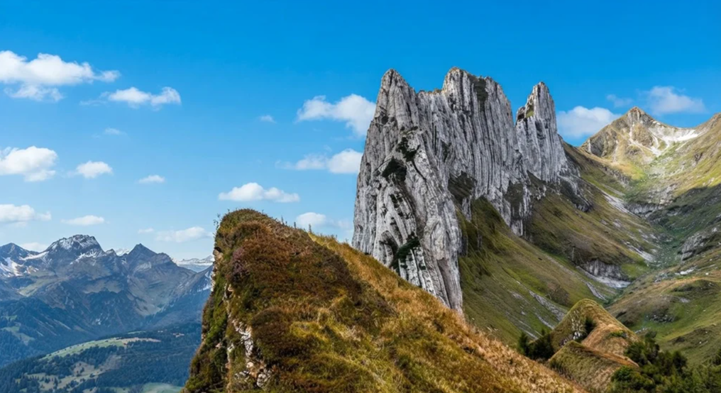
The first stage of the hike leads toward Staubern, a mountain hotel perched on the ridge. The trail dips and rises, narrow in places, with rocky stairs cut into the cliffside. Fences guide you along exposed ledges, demanding steady footing but never overwhelming. It is a path that insists on respect, rewarding caution with sweeping views.
At Staubern, hikers gather. Some arrive by cable car from Frümsen, choosing a shorter route to Saxer Lücke. Others, like you, have walked the ridge from Hoher Kasten. The hotel offers terrace view that stretches across the Rhine Valley into Austria. It is a pause, a moment to breathe, before the trail grows wilder.
The Approach to Saxer Lücke
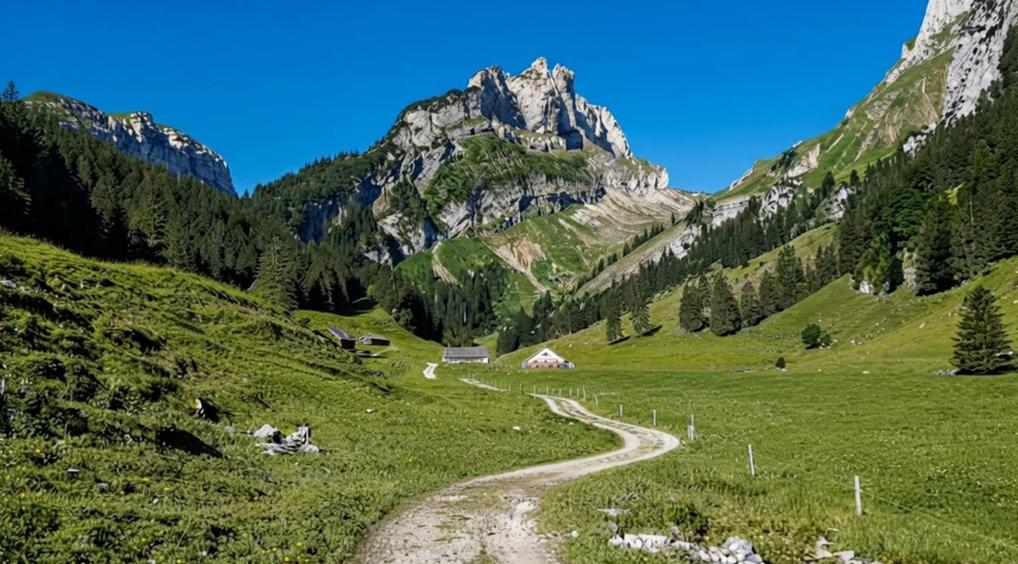
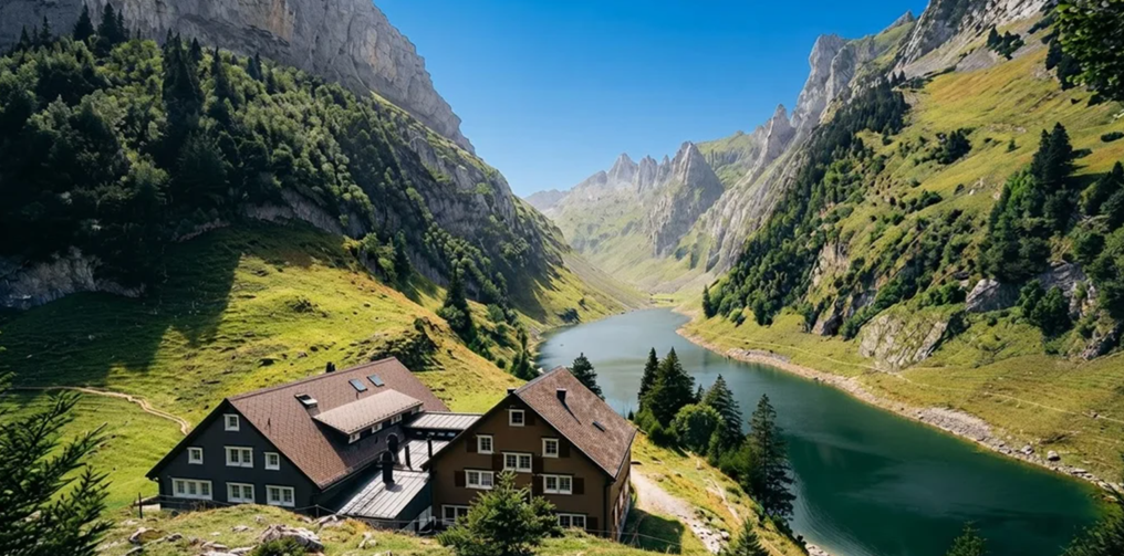
Beyond Staubern, the ridge narrows again. The path clings to the mountainside, undulating beneath cliffs. To your right, the valley opens wide: Sämtisersee lies below, an alpine amphitheater of water and rock. Farther along, glimpses of Fälensee appear, its turquoise surface framed by steep walls.
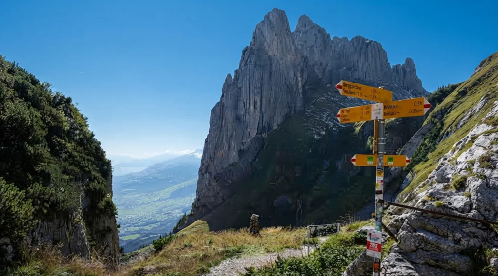
The trail is alive with detail. Clouds spill over Säntis, the highest peak in the region, like waterfalls of mist. Autumn colors ignite the forest—orange, red, and gold burning against the dark green. Even the trail signs tell stories: one, faded and hand-drawn, feels almost un-Swiss in its imperfection, a reminder that even here, order sometimes frays.
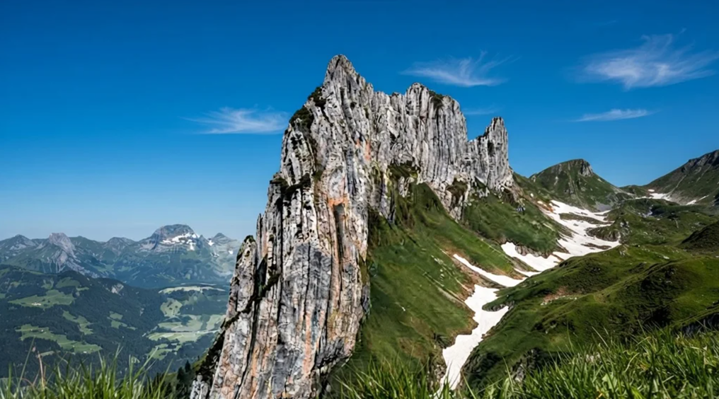
After hours of steady walking, the ridge reveals its masterpiece. Saxer Lücke rises ahead, a saw-tooth formation carved by nature into a rock window. It is not a peak but a saddle, a dramatic notch in the ridge that frames the valley below. Standing here, you feel suspended between worlds—the Rhine Valley stretching toward Austria, the Alpstein cliffs rising behind, the sky vast and endless.
Down to Fälensee
From Saxer Lücke, the trail plunges downward. Rocky switchbacks twist toward Fälensee, loose stones crunching underfoot. It is steep, demanding caution, but the reward is immediate. The lake appears suddenly, a jewel cradled in stone. Its surface reflects the cliffs, the sky, the passing clouds.
At the shore sits Bollenwees, a mountain inn where rösti is said to be the best in Switzerland. Golden, crispy, hearty—it tastes like triumph after hours on the ridge. Many hikers linger here, picnicking by the lake, watching reflections ripple with the breeze.
The Long Descent
From Bollenwees, the trail leads toward Brülisau. Here, the drama fades. Gravel roads and forest paths stretch long and steady, switchbacks grinding down through alpine meadows. After the grandeur of Saxer Lücke and Fälensee, this descent feels anticlimactic, a weary trudge back to the valley.
At Sämtisersee, the trail forks. One path continues toward Brülisau, a steep gravel road that many find miserable—slippery, monotonous, endless. The other path veers toward Ruhesitz hut, where a secret awaits.
Trotti Scooters: Joy in Descent
At Ruhesitz, hikers can rent trotti scooters—kick scooters built for mountain roads. Sixteen francs in cash buys you back your joy. Instead of trudging down gravel, you glide through alpine pastures, wind rushing past, laughter echoing in the valley. It is a playful end to a serious hike, a reminder that mountains are not only about endurance but delight.
Planning the Day
The hike stretches 16 to 17 kilometers, taking about six hours depending on pauses at Staubern and Saxer Lücke. The highest point is 1791 meters, and the trail is open from mid-June to mid-October. The Hoher Kasten cable car runs every twenty minutes, costing CHF 28 one way, with children under sixteen riding free.
For those planning to rent scooters at Ruhesitz, bring CHF 16 in cash.The trail is demanding, with rocky sections and steep descents, but it is not perilous. Families often choose the shorter route from Staubern, cutting distance while still reaching Saxer Lücke. The majority of the trail is flat or downhill, though uneven terrain and stairs require steady footing.
The Light and the Memory
What lingers most is not the statistics but the light. On autumn evenings, alpenglow paints the cliffs pink, the moon rises over Austria, and the layers of mountains fade into blue shadows. At Saxer Lücke, the view feels eternal, a window into both geology and imagination. The Hoher Kasten – Saxer Lücke trail is not just a hike.
It is a narrative of contrasts: the grandeur of ridges, the serenity of lakes, the fatigue of gravel roads, the joy of scooters. It is science and story, effort and reward, a passage through landscapes that are both ancient and alive.When you return to Brülisau, legs aching, stomach full, memory etched, you know you have walked not just a trail but a chapter of the Alpstein itself.