
Introduction to the Lechquellen Mountains
The Lechquellen Mountains in Vorarlberg, western Austria, are a pristine alpine region defined by limestone peaks, karst plateaus, and glacial valleys. Unlike many Austrian ranges, this area is largely free of ski infrastructure, preserving its natural character.
The hike from Lake Formarinsee to Lake Spullersee is one of the most rewarding point‑to‑point day hikes in the region. It combines varied terrain, panoramic views of both the Lechquellen and Verwall groups, and a sense of remoteness that makes every step feel purposeful.
This trail is part of the “Best Day Hikes in Austria” collection because it balances accessibility with challenge. Public bus connections make the route possible without a car, while the trail itself demands concentration, balance, and stamina.
Logistics and Access
The hike begins at Lake Formarinsee, reached by bus 707 from Lech am Arlberg. The ride takes about 30 minutes, following the Zugertal Valley and the Lech River. The bus departs from Lech Rüfiplatz, next to the fountain and the wooden‑covered Tannbergbrücke bridge.
At the end of the hike, Lake Spullersee provides the return connection. Bus 706 departs from the lakeside stop back to Lech, also taking about 30 minutes. Timetables are posted at the stops, and hikers should check the last departure before setting out to avoid being stranded.
Driving is discouraged during the summer season when buses operate. Outside of bus hours, access is possible via the toll road “Mautstraße Zugertal,” with restrictions before 8 am and after 4:30 pm.
Trail Overview
- Starting Point: Formarinsee Bus Stop (1821 m)
- Ending Point: Spullersee Bus Stop (1827 m)
- Distance: 11.4 km point‑to‑point
- Time Needed: 4.5–6 hours depending on pace and conditions
- Elevation Gain: 637 m
- Elevation Loss: 673 m
- Maximum Elevation: Gehrengrat Ridge, 2439 m
- Difficulty: Moderate in dry conditions; difficult in wet conditions
- Season: Late June – September
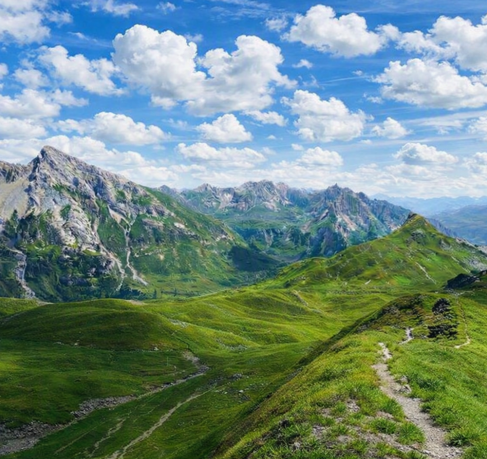
The trail crosses three distinct landscapes: the alpine meadows around Freiburger Hütte, the karst plateau of the Steinernes Meer, and the ridge of Gehrengrat before descending to Spullersee.
Trail Difficulty
In dry weather, the hike is manageable for experienced alpine hikers. In wet conditions, the loamy soil and washed‑out paths become slippery and treacherous. Two sections require particular caution:
- Steinernes Meer: A karst landscape of uneven limestone slabs. Crossing demands balance and surefootedness.
- Gehrengrat Descent: The trail is eroded and unstable in places. Hiking poles are strongly recommended to stabilize footing.
Formarinsee to Freiburger Hütte
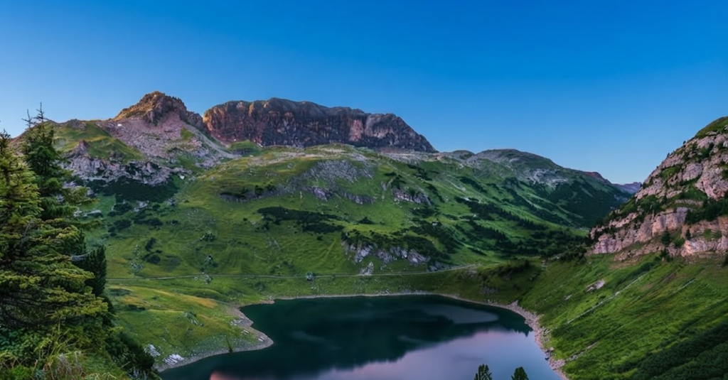
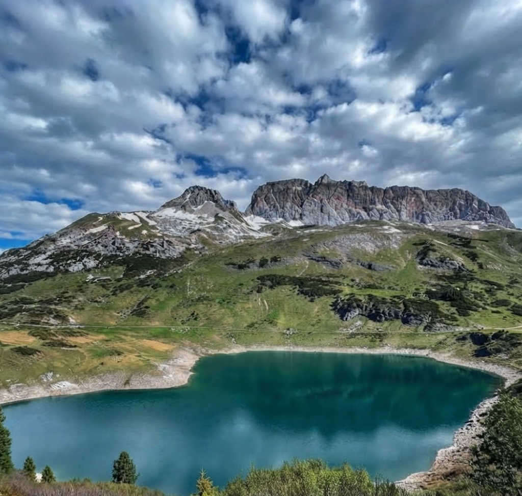
From the bus stop, a gravel track leads toward Formarinsee. Hikers can follow the road or take the narrower trail along the eastern shore for a more scenic approach. The lake itself is framed by alpine pastures and backed by the imposing Rote Wand (2704 m), one of the most iconic peaks of the Lechquellen range.
The trail continues to Freiburger Hütte at 1918 m. This hut is a staffed refuge offering food and drinks, and it marks the last point of civilization before the trail enters more rugged terrain. The hut’s position beneath Rote Wand makes it a natural pause for photographs and refreshments.
Freiburger Hütte to Steinernes Meer
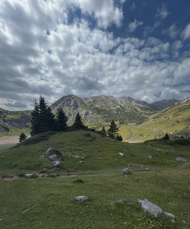
Beyond the hut, the path ascends gradually across a verdant slope. In July, the meadows are filled with alpine wildflowers: Maiden’s Tears, Alpine calamint, Wood Cranesbill, kidney vetch, and Mountain Arnica. After 1.3 km, the trail crosses a pasture fence, with the rounded summit of Formaletsch visible ahead.
The track levels out along the southern flank of Formaletsch, opening views of the crystalline Verwall mountains. Cowbells echo across the pastures, a reminder of the region’s agricultural use.
The trail then enters the Steinernes Meer, a karst plateau of grey limestone slabs. This “Stone Sea” is visually striking and geologically unique. Crossing takes 30–35 minutes, requiring concentration with each step. Painted waymarks guide the route across the uneven terrain.
Steinernes Meer to Gehrengrat
At the far side of the plateau, the trail intersects with other routes. Continuing straight, hikers begin the ascent to Gehrengrat Ridge. The climb gains 280 meters, with sections of loamy soil and switchbacks. In dry conditions, the ascent is steady; in wet conditions, it becomes slippery and more demanding.
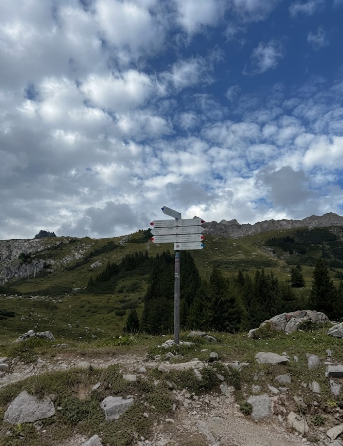
From the ridge at 2439 m, views open in all directions. To the north, Rote Wand and the Lechquellen peaks dominate. To the south, the crystalline Silvretta range borders Switzerland. Ahead lies Spullersee, flanked by Rohnspitze, Goppelsptize, and Wasenspitze.
Gehrengrat to Dalaaser Schütz
The descent from Gehrengrat is steep and unstable in places. Sections of washed‑out trail require careful navigation, and hiking poles are invaluable. Recommended footwear includes high‑cut alpine boots such as Hanwag Tatra II GTX or Meindl Island Lady.
After the steep descent, the trail levels out, crossing the Glongbach stream before entering the high valley of Dalaaser Schütz. Meadows and pastures soften the terrain, offering a reprieve after the demanding ridge.
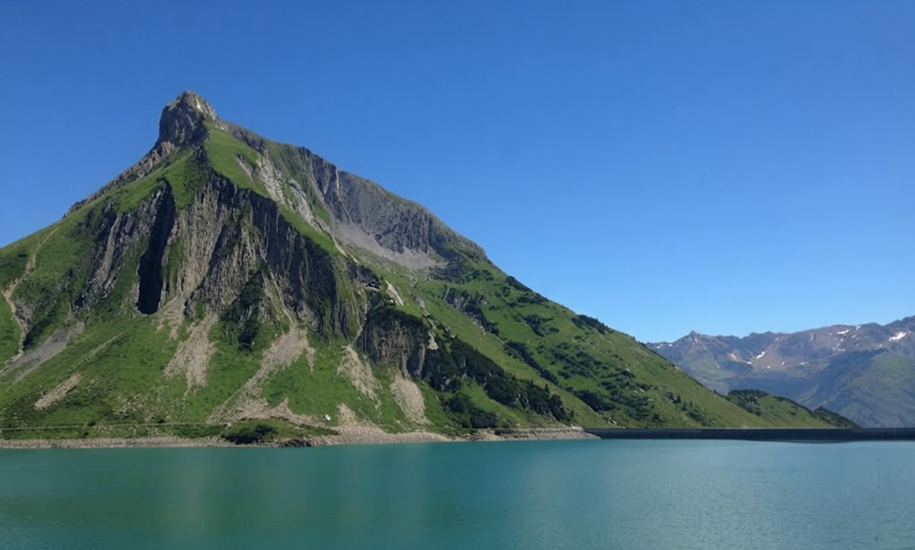
Dalaaser Schütz to Spullersee
From the valley, the trail continues downward along a wide track before turning right onto a marked path. This final section descends gently through alpine meadows, often blooming with purple Gentian in late summer.
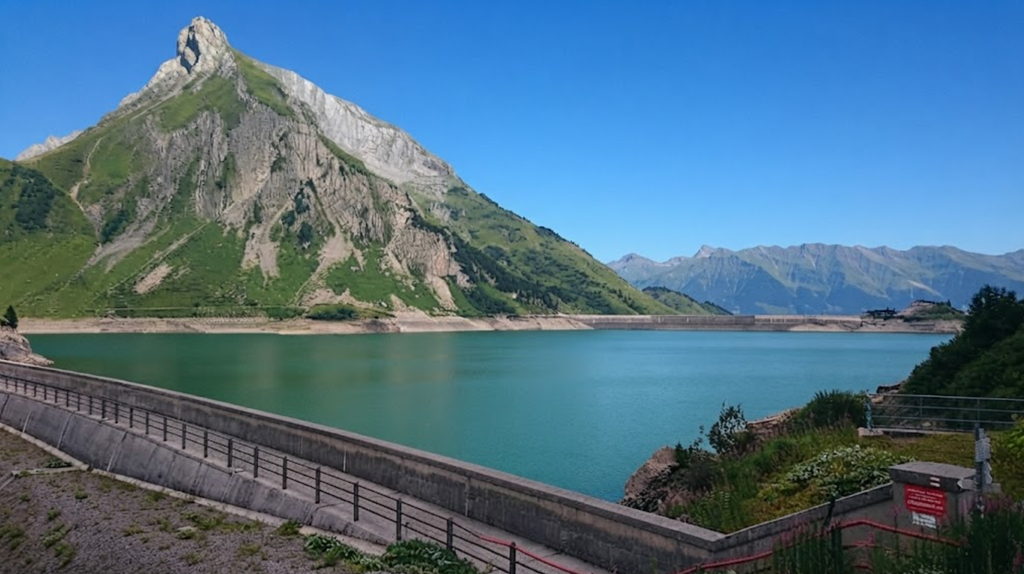
The trail delivers hikers directly to Lake Spullersee, a reservoir framed by dramatic peaks. From the lakeshore, it is a 10‑minute walk to the bus stop.
Return to Lech
Bus 706 departs from Spullersee about six times daily, returning to Lech via Spulleralpe, Dalaaser Staffel, Abzweigung, Älpele, and Zug Kirchle. The ride takes 30 minutes. Checking the timetable in advance is essential, as the area is remote and overnight options are limited.
Seasonal Atmosphere
- Late June – July: Meadows filled with wildflowers, streams running high with snowmelt.
- August: Stable weather, longer days, and clear views.
- September: Golden light, cooler temperatures, and fewer crowds.
Winter transforms Lech into a ski resort, but in summer the valleys are quieter, with hiking trails offering solitude and scenery.
Practical Notes
- Poles: Strongly recommended for the Gehrengrat descent.
- Footwear: Grade B/C alpine boots with ankle support.
- Gear: Waterproofs, insulated layers, gloves, and a map.
- Lech Card: Provides free use of regional buses and cable cars, useful for multi‑day stays.
- Timing: 5–6 hours is realistic with breaks; faster hikers may complete in 4.5 hours.
Geological Highlight: Steinernes Meer
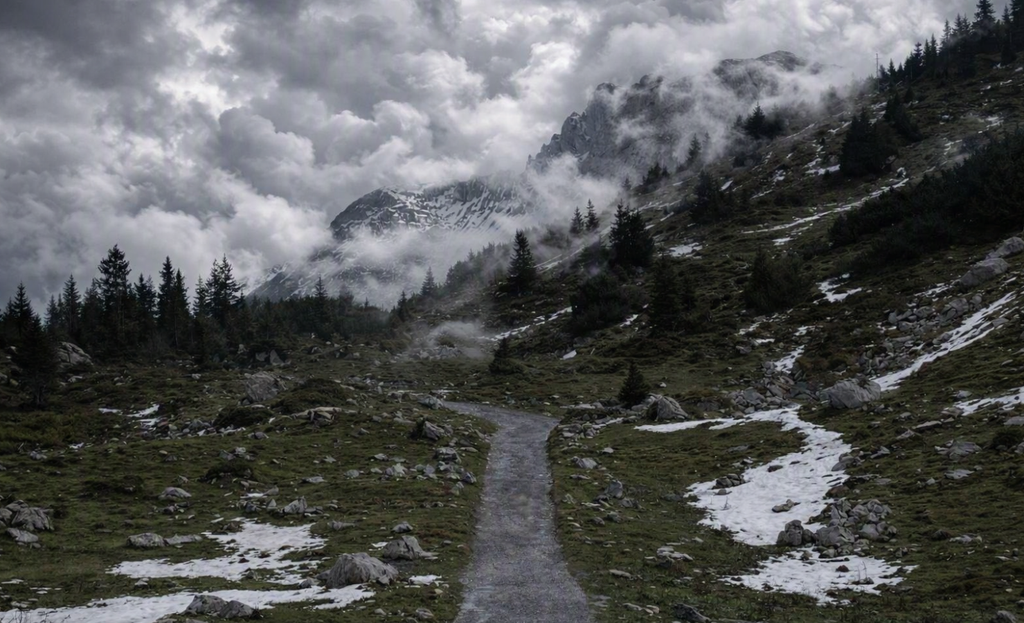
The Steinernes Meer is a karst landscape formed by limestone dissolution. Its uneven slabs resemble waves of stone, hence the name “Stone Sea.” Crossing requires balance, but the geological interest makes it one of the most memorable sections of the hike.
Scenic Highlight: Gehrengrat Ridge
The ridge offers panoramic views of three ranges: the Lechquellen, the Silvretta, and the Rätikon. The contrast between limestone and crystalline peaks is striking. Spullersee below provides a dramatic focal point, framed by jagged summits.
Flora and Fauna
Alpine meadows along the route host diverse wildflowers, including Gentian, Arnica, and Alpine calamint. Pastures are grazed by cattle, and cowbells are a constant soundtrack. Marmots are occasionally spotted near rocky slopes.
Why This Hike Stands Out
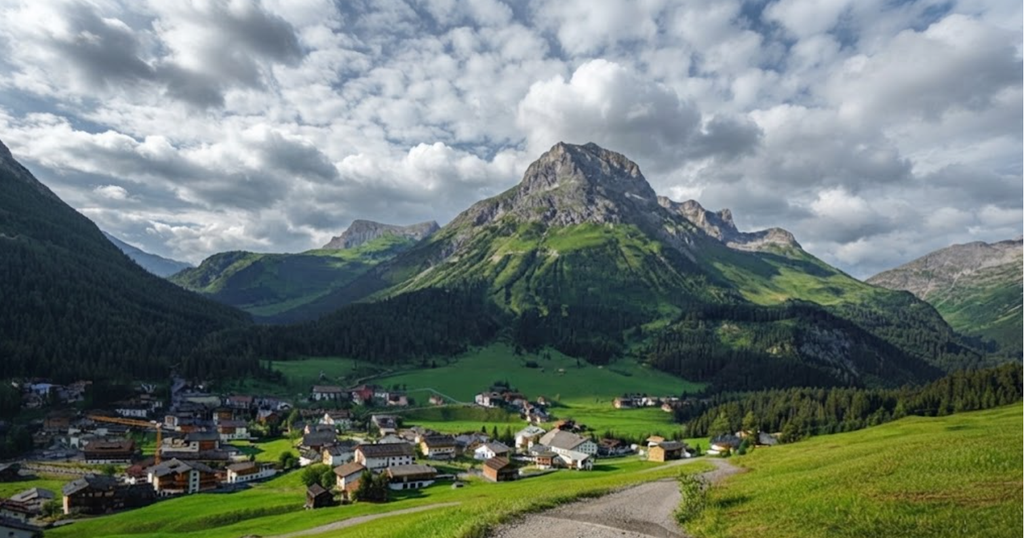
The Formarinsee to Spullersee hike combines accessibility with challenge. Public transport makes logistics simple, while the trail itself demands concentration and stamina. The variation in terrain — lakes, meadows, karst, ridge, and descent — ensures the hike is never monotonous.
Unlike many Austrian routes, this trail avoids ski infrastructure, preserving the natural alpine atmosphere. For hikers seeking a demanding but rewarding day in the Alps, it is one of the finest options in Vorarlberg.
The hike from Lake Formarinsee to Lake Spullersee is a journey through the heart of the Lechquellen Mountains. It begins with tranquil lakeside scenery, ascends through wildflower meadows, crosses a geologically unique karst plateau, climbs to a panoramic ridge, and descends to a dramatic alpine reservoir.
At 11.5 km and 599 meters of ascent, it is demanding but achievable. With proper preparation, hikers are rewarded with