
Liechtenstein may be one of the smallest countries in the world, but its mountains hold a scale of adventure far beyond their borders. The Panorama Trail, marked as Route 66, is a high-altitude journey that rises above the Rhine Valley, weaving through forests, alpine pastures, and exposed ridges where ladders and ropes become part of the path. This was more than a hike. It became a first multi-day trek and a first experience of walking alone in the Alps.
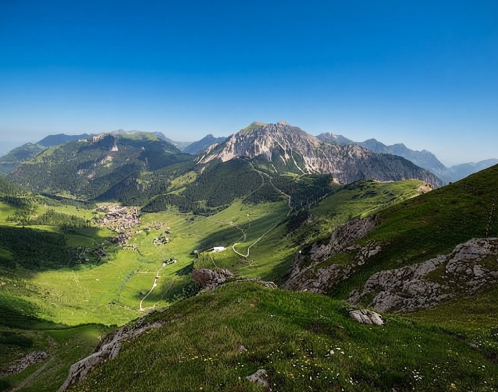
Trail Overview
The official Panorama Trail covers around 30 kilometres in three stages, though variations extend the distance depending on starting points, detours, and summits. Four days were chosen, beginning in Planken and ending in Malbun.
Duration: Four days
Difficulty: Moderate to difficult
Highest point: Augstenberg, 2,359 metres
Accommodation: Mountain huts and a hotel
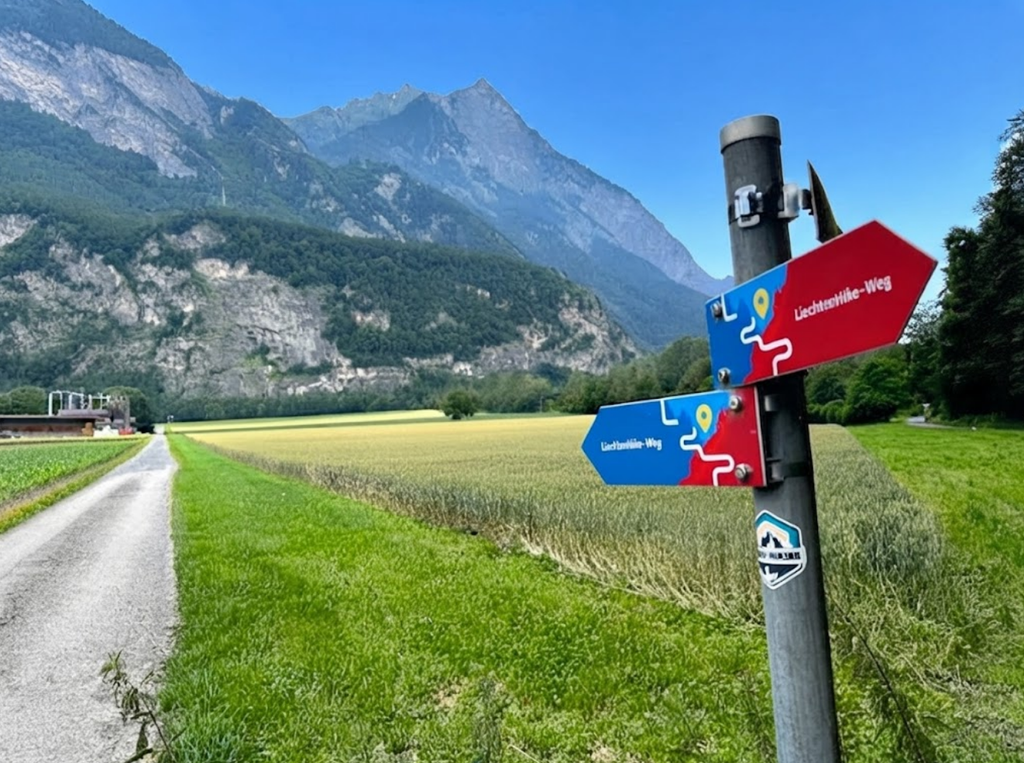
Waymarking: Route 66 signs and white-red-white mountain trail markings
Transport: Public buses (LIEmobil)
Currency: Swiss francs
This is not a cultural trail. The section around Drei Schwestern and Fürstensteig demands sure-footedness and comfort with exposed terrain.
Why Planken Became the Starting Point
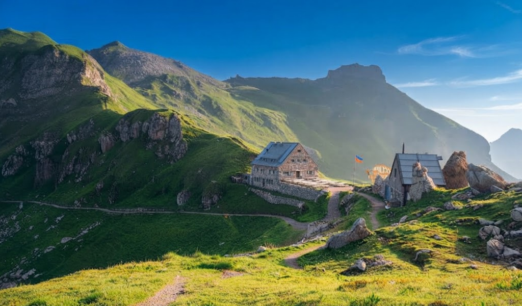
Beginning in Planken offered a shorter first stage, useful for adjusting to the weight of the backpack and the silence of hiking alone. Climbing ladders and secured paths felt more manageable than descending them with tired legs. Accommodation before the hike was at Hotel Vaduzerhof in Vaduz.
Lockers allowed luggage to be stored safely, meaning only essentials were carried for four days. After finishing the trail, the suitcase was collected and another night spent in the same hotel.
Public Transport and Access
Liechtenstein’s buses made logistics straightforward. Line 26 connected Schaan to Planken, while Line 21 linked Vaduz to Malbun. Timetables change, so checking before travelling is essential, but the system is reliable.Public transport also gave flexibility. After a demanding stage, it was possible to leave the trail, reach accommodation, and return the next morning without losing rhythm.
Navigating the Trail
The Panorama Trail is well marked, but fog can erase signs in seconds. Route 66 markers guided the way, supported by AllTrails maps downloaded for offline use.An app alone is never enough. Trail signs matter, and conditions change quickly in the Alps. Still, having the map on a phone gave reassurance when visibility dropped.
Staying Connected
An Airalo eSIM provided data. For a hike like this, a standard package was sufficient — checking bus times, weather forecasts, and messages. Unlimited data felt unnecessary once maps were downloaded.
Day One: Planken to Gafadurahütte
Rain fell as the trail began in Planken. The village was quiet, the streets empty. Soon the path entered the forest, climbing through fog so thick that bells echoed without revealing whether they belonged to cows or goats. Hours passed without seeing another person. Hiking alone felt different from travelling alone.
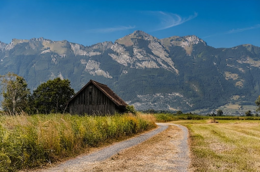
Every decision mattered: the weather, the trail, the pace. By afternoon, the clouds lifted. The valley appeared below, showing how much height had been gained. At Gafadurahütte, check-in came early, leaving time to write in a journal and reflect on whether those notes might one day become a book.
Evening in the hut carried a rhythm of quiet conversation, warm meals, and the sound of wind outside. Solitude felt less heavy here, replaced by the calm of shared spaces where hikers rested after long days.
Day Two: Gafadurahütte to Steg via Drei Schwestern
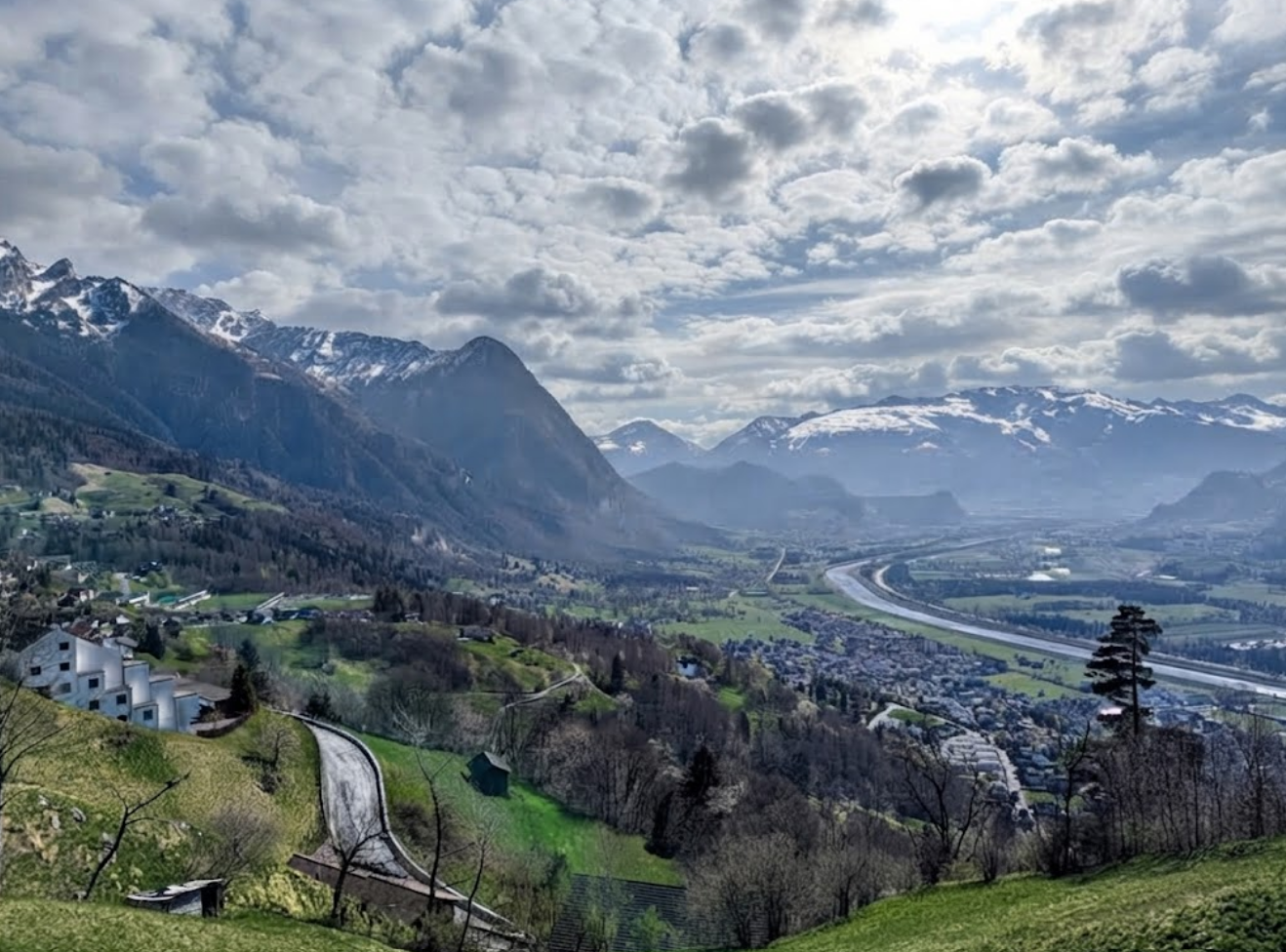
The second stage was the most demanding. The backpack felt heavier with food and water, and filming slowed progress.The trail climbed steeply above Gafadurahütte, the air cool and refreshing. Visibility shifted constantly: clear views one moment, thick fog the next. The climb was steady, deliberate, with pauses to absorb the landscape rather than rush to the summit.
Technical Sections
After the first high point, the route became more technical. Narrow paths secured with ropes, ladders fixed to rock, and sections requiring hands for balance and grip. Fog rolled in and out, hiding markers and revealing peaks only for moments. The official description of the Drei Schwestern and Fürstensteig route stresses that it is intended for sure-footed mountain hikers. This became clear with every step.
Ridge Views
The ridge views were fleeting but unforgettable. At times intimidating, always beautiful. Each summit revealed another ahead, the path continuing along narrow ridges before disappearing into cloud. Descending proved harder than expected. Long, steep sections tested legs more than the climb. Eventually the trail dropped towards Steg, where accommodation was not available. Malbun became the practical option, reached by bus at the end of the day.
Day Three: Steg to Pfälzerhütte via the Lower Route
Weather and Decision-Making
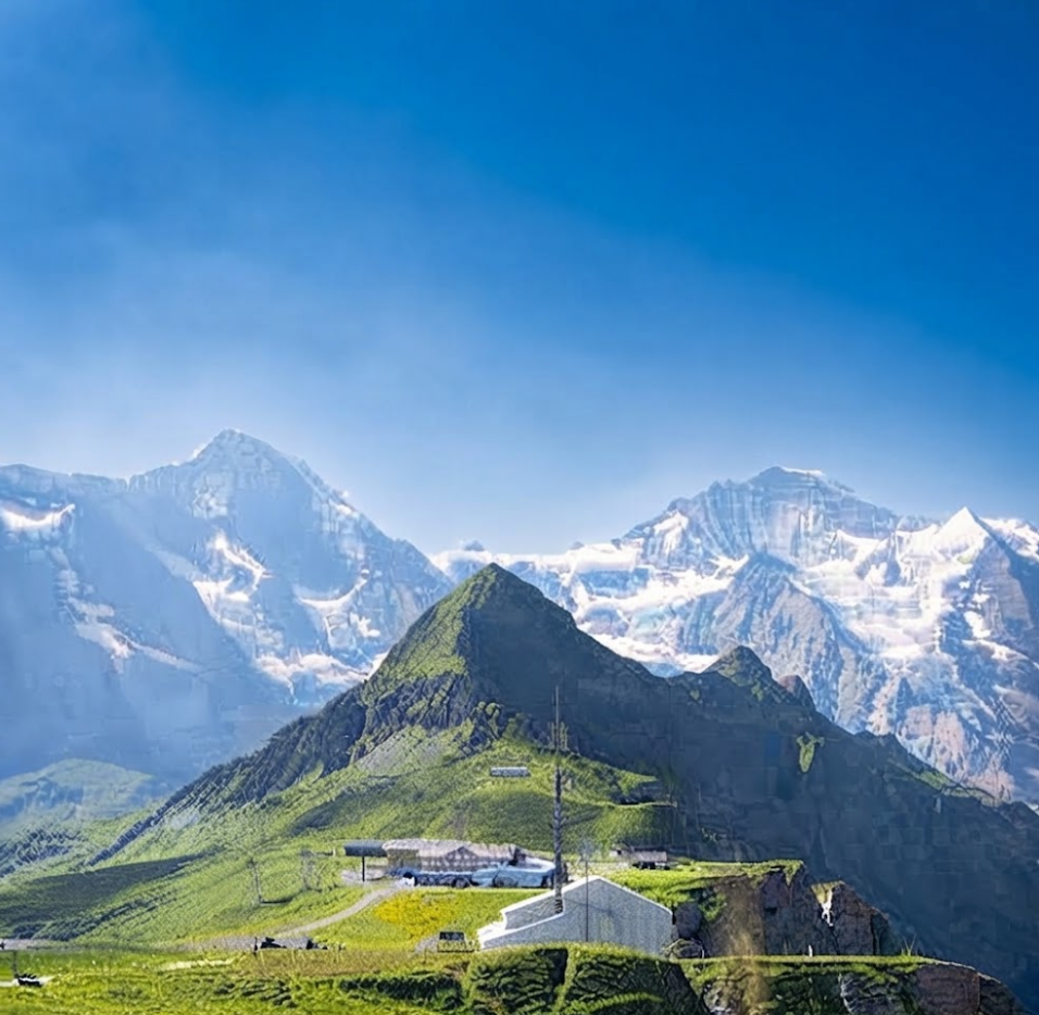
Heavy rain fell through the night, and forecasts promised more. The higher Route 66 option climbs over Chrüppel, Wanghöhe, and Goldlochspitz, with a detour possible to the summit of Rappenstein. This is the dramatic ridge route, with sweeping views and demanding ascents.
In poor weather, however, exposed sections become slippery and unsafe.Lower alternatives exist, including valley paths. They lack the drama of high ridges but avoid dangerous terrain. Choosing one of these routes was not part of the original plan, yet it became the most sensible decision.
A Different Beginning
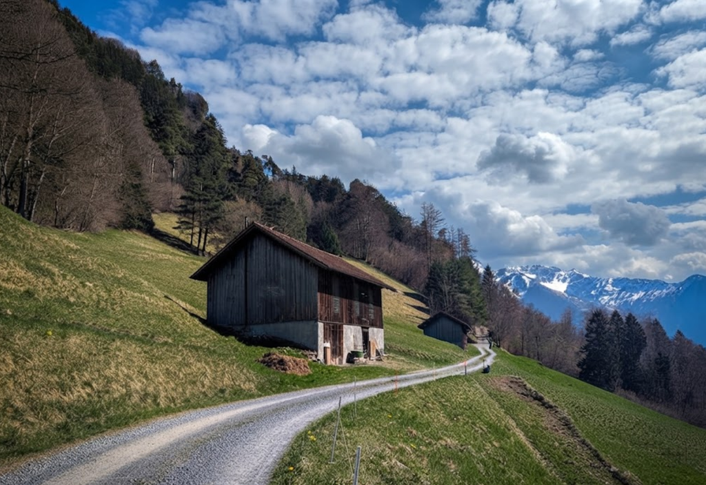
The lower path began beside a stream of clear alpine water. The trail was gentle, allowing pauses for snacks and moments of calm. After the intensity of ladders and ridges on the previous day, this stage felt restorative.Unexpected encounters added character to the walk. Highland cows appeared beside the trail, their distinctive horns and shaggy coats a surprise in Liechtenstein. They are more often associated with Scotland, yet here they grazed quietly in alpine pastures.
Rain Returns
Later, the path climbed again and rain returned. Visibility dropped, and the trail markings became essential. White-red-white paint on rocks and posts guided the way when the path was unclear. Eventually, Pfälzerhütte appeared in the distance, a welcome sight after hours of steady walking.
Although the day still involved climbing, it felt more relaxed than the previous stage. Choosing the lower route did not diminish the hike. It became proof that changing plans in the mountains is not failure but wisdom.
Day Four: Pfälzerhütte to Malbun
Life in the Hut
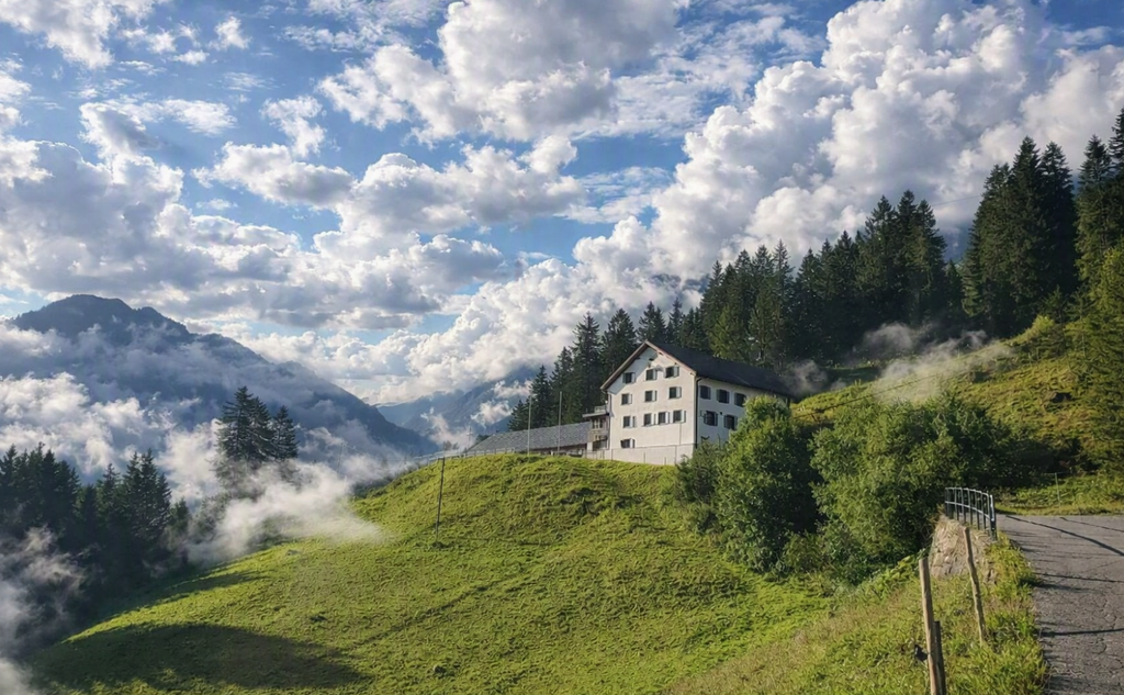
Pfälzerhütte was the second Alpine Club hut on the Panorama Trail. At 2,108 metres, it operates from early or mid-June until mid-October, depending on conditions. Facilities are simple, shaped by altitude and remoteness. Blankets and pillows are provided, but a sleeping-bag liner is required.
This night brought a private room, quiet and restful. The host welcomed guests warmly, and the evening unfolded in the communal room where hikers shared meals and stories. Solitude during the day gave way to companionship at night.
The Final Descent
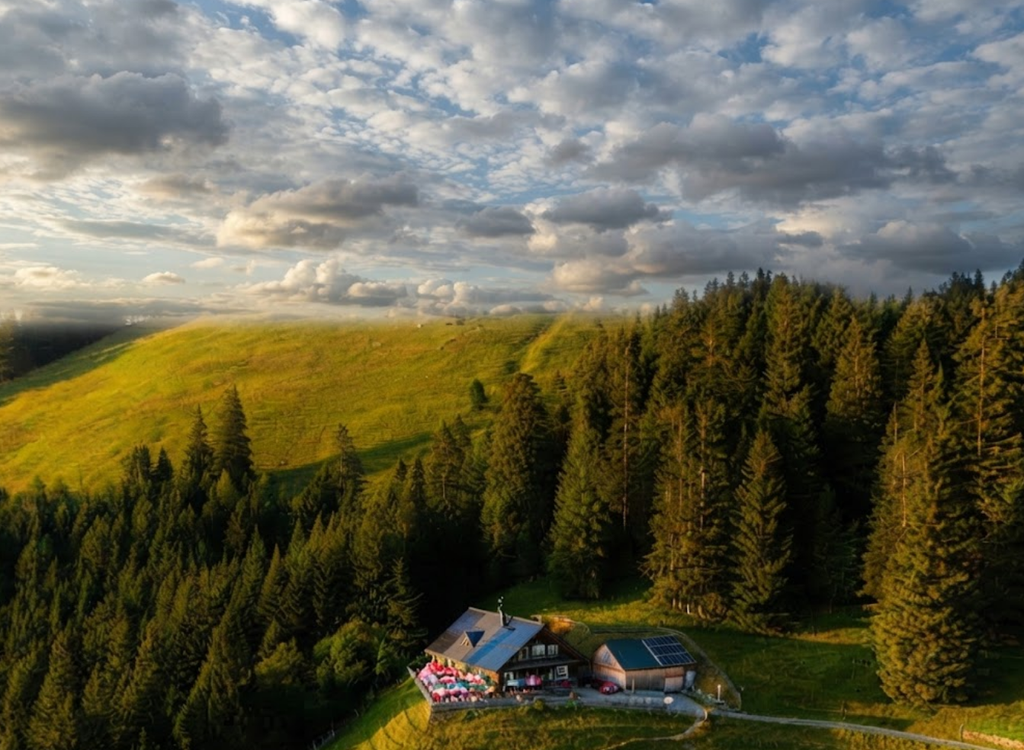
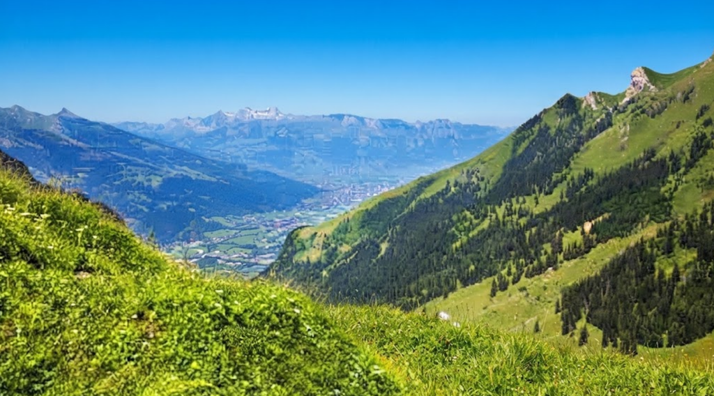
The trail rose briefly above 2,000 metres before descending towards Malbun. For the first time, the landscape opened fully. Mountains surrounded the valley, and the name “Panorama Trail” finally revealed its meaning.Fog had hidden many views during the previous days, but here the horizon stretched wide. Malbun lay below, a mountain resort connected by buses to Vaduz. The hike ended here, though the experience lingered.
Lessons from the Complete Trail
The Panorama Trail is not beginner-friendly. Some sections follow forest paths and mountain tracks, but others demand ropes, ladders, and confidence on exposed ridges. The hardest stage was the Drei Schwestern section on Day Two, requiring concentration, balance, and comfort with heights. The high route is best suited to hikers who:
Mountain experience: Previous alpine hiking is essential.
Comfort with heights: Narrow ridges and ladders require confidence.
Endurance: Several hours of climbing and descending with a backpack.
Navigation skills: Ability to follow trail markings and use offline maps.
Adaptability: Willingness to change plans when conditions deteriorate.
Lower alternatives exist, and taking one is not failure. Choosing the valley route on Day Three allowed the hike to continue safely.
Solo Hiking Considerations
Walking alone in the Alps is not the same as travelling alone. Hours can pass without seeing another person. In case of injury, help may not arrive quickly. Solo hikers should be conservative when assessing weather and trail conditions.
Share itinerary with someone before starting.
Check in regularly and keep a phone accessible.
Download offline maps; do not rely on mobile coverage.
Insurance should cover altitude and mountain rescue.
Packing Essentials
Every item matters when carried for several days. Essentials include:
Backpack with waterproof cover or dry bag.
Hydration system for regular drinking.
Hiking boots, waterproof layers, and warm mid-layer.
Hiking poles for support.
Power bank and first-aid supplies.
Thin gloves for ladders and cables.
Mountain huts vary in facilities. Gafadurahütte offered showers and relative comfort. Pfälzerhütte, higher and more remote, was simpler. Earplugs are useful in dormitories, and booking huts in advance is essential.
Hiking Season
The general season runs from late June to September, sometimes into October. Snow can remain on higher trails well into summer. Even in July, snow appeared along the route. Weather changes quickly, and forecasts checked days earlier may no longer apply. Mountain huts also have limited opening periods. Pfälzerhütte typically opens in June and closes in October, depending on conditions. Always confirm directly before booking.
Transport and Accommodation
A car is not required. The bus network connects Vaduz, Schaan, Planken, Steg, and Malbun, making the trail accessible without private transport. Line 26 serves Schaan–Planken, and Line 21 connects Vaduz–Malbun. Wild camping is illegal in Liechtenstein. Overnight stays must be planned in huts or hotels. Campsites exist but are not practical for this itinerary. Booking in advance is strongly recommended, especially in summer.
Final Reflection
The Panorama Trail is one of Europe’s most beautiful multi-day hikes. Weather was imperfect: fog hid views, rain forced route changes, and snow prevented a planned sunrise climb. Yet those changes became part of the experience. This journey demanded decisions without relying on others. It revealed when to continue, when to slow down, and when to change the plan. It also showed that solitude in the mountains does not have to feel lonely.