
Faroe Islands > Things to do in Faroe Islands > Signabøur – Kaldbak
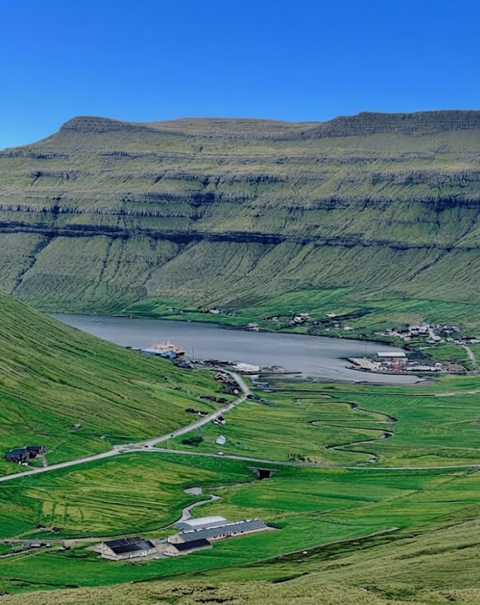
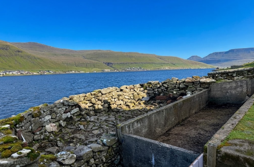
Signabøur: A Village at the Fjord’s Edge
The hike between Signabøur and Kaldbak is one of those Faroese routes that feels both elemental and rewarding. It is not a casual stroll but a demanding traverse across crags, passes, and valleys that embody the rugged spirit of the islands. Signabøur is a small settlement on Streymoy, the largest of the Faroe Islands.
With just 152 inhabitants, it lies at 10 meters above sea level, tucked into the bottom of Kollafjørður inlet. The village is modest, with traffic noise from the nearby road, but it serves as a practical starting point for the hike. Tórshavn, the capital, is only 13 km to the southeast, and Vágar Airport lies 19 km away, making Signabøur accessible for visitors who want to explore the northern fjords.
The Nature of Faroese Hiking
Hiking in the Faroes is never straightforward. Even routes labeled “easy” involve steep inclines, shifting weather, and exposure to wind. When a trail is marked “difficult,” it means crags, narrow ledges, and sections where footing must be chosen carefully. The Signabøur–Kaldbak hike is one such route. It is not technically long—about 5.9 km out and back—but the terrain makes it demanding. For those unaccustomed to Faroese landscapes, the ascent can feel daunting.
The Ascent from Signabøur
The trail begins by walking past a barn, then uphill in a westerly direction. A fence must be climbed, and a gate crossed, before angling south toward the first cairn. These cairns are crucial markers in Faroese hiking, guiding walkers through terrain where paths are faint or invisible. The ascent is steep, threading through crags and ledges. This is where caution is essential. Solo hikers may find the climb intimidating, as mistakes are easy to make when picking a way through uneven rock.
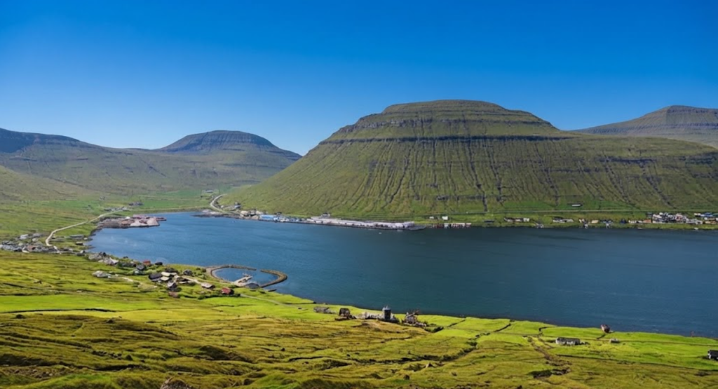
The reward, however, is immediate. From the hillside above Signabøur, the view opens across Kollafjørður and into the valley of Kollfjarðadalur. The fjord stretches long and narrow, framed by mountains that rise sharply from the water. It is a classic Faroese panorama: austere, dramatic, and deeply atmospheric.
Kambsskarð Pass
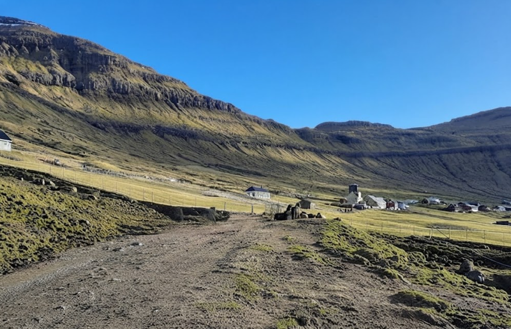
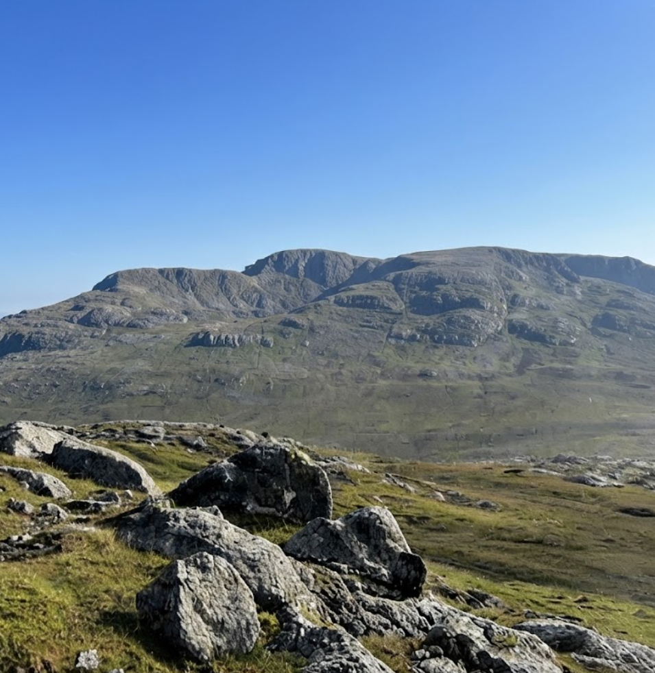
At the top of the climb lies Kambsskarð, a mountain pass that feels like a threshold. Here, the noise of Signabøur fades, replaced by silence. Cairns line the way, their stone forms standing as quiet guardians of the route. The pass is not difficult to cross, but it carries a sense of remoteness. Walking through Kambsskarð is a meditative experience, the cairns marking progress while the landscape stretches wide and empty.
The Valley Above Kaldbak
Beyond the pass, the trail descends into a broad valley above Kaldbak. This valley is dotted with lakes and pools, the largest being Stóravatn and Brúnavatn. Smaller tarns glimmer between gullies, and rivers cross the valley floor. These rivers are easily forded, adding variety without danger. The valley is long but captivating, with its mix of water, grass, and stone.
Compared to the ascent, this section feels peaceful. The terrain is open, the views expansive, and the silence profound. It is here that the contrast between Signabøur and Kaldbak becomes clear. Signabøur carries the vibes of traffic, while Kaldbak’s valley is quiet, a place where nature dominates.
Practical Route Details
- Distance: 8 km out-and-back
- Elevation Gain: 59 m (though the ascent feels steeper due to crags)
- Difficulty: Challenging, especially the climb from Signabøur
- Route Type: Out & back
It is safer to walk from Signabøur toward Kaldbak rather than the reverse. Ascending through crags is easier than descending them, and the cairns are more visible when climbing.
Á Oyareingjum Road
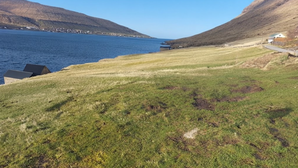
The hike connects with Á Oyareingjum, a partially paved road between Langasandur and Signabøur. This road runs along the bottom of the fjord and is suitable for cycling or running. The views from the road are striking, with mountains rising on either side. However, it is reserved for cars, so cyclists and runners must stay to the side.
Safety and Difficulty
The Faroes demand respect from hikers. Weather changes quickly, fog can descend without warning, and trails often involve exposure. On the Signabøur–Kaldbak route, the ascent is the most challenging section. Those with a fear of heights may find it uncomfortable, and solo hikers should be cautious. Guides are not essential for experienced walkers, but they provide reassurance for those unfamiliar with Faroese terrain.
The general rule is simple: when a Faroese hike is labeled “difficult,” it truly is. Even moderate routes involve steep gradients, while difficult ones add crags and ledges. Fitness alone is not enough; comfort with exposure is equally important.
The Atmosphere of the Route
The Signabøur–Kaldbak hike embodies the Faroese atmosphere: rugged, elemental, and deeply rewarding. The ascent offers drama, the pass offers silence, and the valley offers peace. Each section carries its own mood, creating a journey that feels layered and complete.
Seasonal Considerations
- Summer: Longer daylight hours, milder weather, and clearer views. Rivers are easy to ford, and the valley feels lush.
- Autumn: Colors shift to browns and golds, and weather becomes more unpredictable. Fog is common, adding atmosphere but reducing visibility.
- Winter: Snow and ice make the ascent hazardous. Only experienced hikers should attempt the route.
- Spring: Rivers swell with meltwater, and the valley feels fresh. Trails may be muddy, but the landscape is vibrant.
Logistics and Access
Signabøur is accessible by road from Tórshavn, lying on the right-hand side when driving north. Parking is available near the village, though limited. The trail itself is not formally marked beyond cairns, so navigation requires attention. Kaldbak, at the other end, is a quiet settlement, offering a contrast to Signabøur’s traffic.
Reflections on the Route
This hike is not for everyone. Those who dislike exposure or prefer gentle trails may find it uncomfortable. But for those willing to meet its demands, the Signabøur–Kaldbak route offers a rewarding experience. It is a hike of contrasts: noise and silence, ascent and valley, difficulty and peace.