
Faroe Islands > Things to do in Faroe Islands > Suðuroy Island
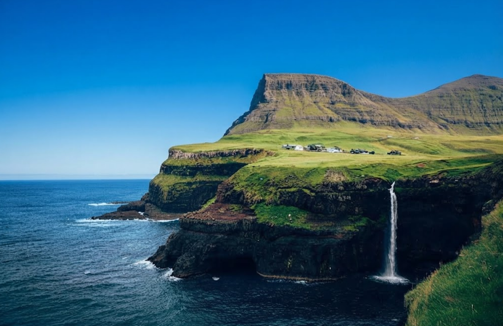
Suðuroy is the southernmost island of the Faroe Islands, a remote and rugged destination that remains less visited than its northern counterparts. For travelers seeking a quieter experience, Suðuroy offers dramatic coastlines, historic villages, and a range of hiking opportunities.
While the island is often described as one of the crown jewels of the archipelago, it is also demanding, with steep terrain and exposed paths that require stamina and caution. This guide provides a structured overview of how to reach Suðuroy, what to expect during your visit, and the main attractions that make the island worth exploring.
Getting to Suðuroy
The only way to reach Suðuroy is by ferry from Tórshavn, the capital of the Faroe Islands. The Smyril ferry departs two to three times daily depending on the schedule, and the journey takes approximately two hours. The vessel is large, modern, and rarely sold out, even for passengers bringing cars.
The crossing itself is scenic, with views of Sandoy and the distinctive Lítla Dímun, often compared to a muffin in shape. Travelers are advised to secure a window seat to enjoy the panorama. The ferry ride is generally smooth, with calm waters across the fjord, making it a comfortable start to the journey south.
Sandvík and Ásmundarstakkur
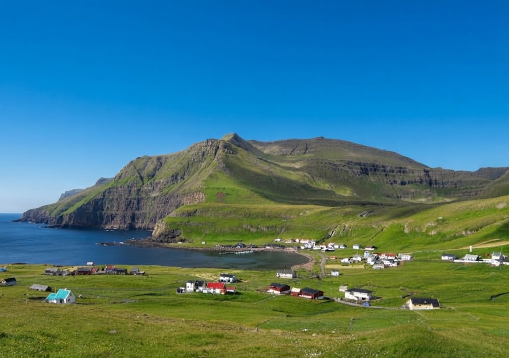
The northernmost village on Suðuroy is Sandvík, a place of historical significance. According to the Faroe Islands saga, Sigmundur Brestisson was killed here at Sigmundsgjógv after swimming across the fjord from Skúvoy Island. Today, visitors can walk to the gorge and reflect on the island’s medieval past.
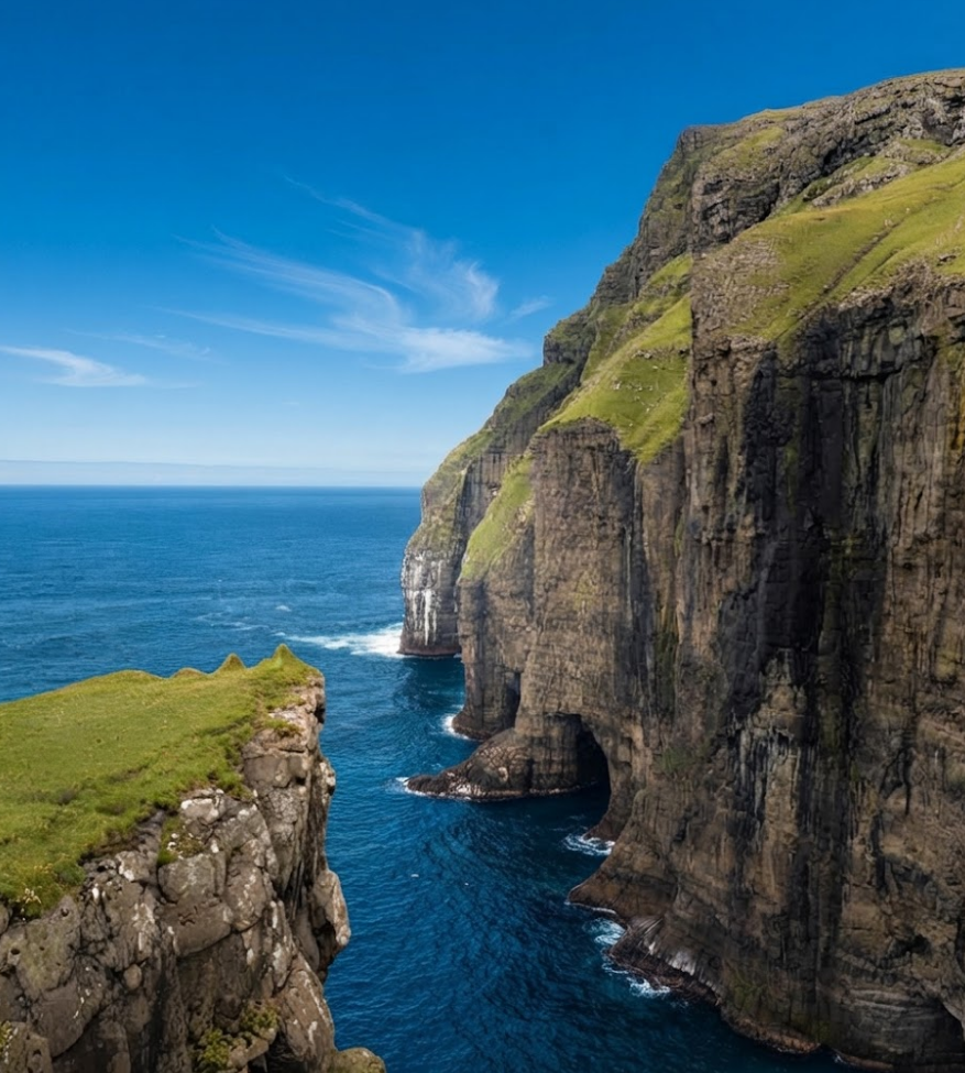
West of Sandvík lies the Ásmundarstakkur sea stack, one of the most photographed natural features of Suðuroy. The stack can be reached either by hiking from the village or by driving part of the way along an unpaved road to shorten the walk. The views from this area are striking, with cliffs rising sharply from the Atlantic and seabirds circling overhead.
Rituskor Bridge
One of the most unusual landmarks on Suðuroy is the Rituskor Bridge, a wooden structure suspended between two cliffs. Historically, the bridge was used to transport sheep across the gap, and despite its precarious appearance, it is stable. Reaching the bridge requires a guided hike, as the path is steep, grassy, and exposed to strong winds.
The ascent takes about an hour, and the crossing itself is not for the faint‑hearted. However, the reward is panoramic views of Ásmundarstakkur and the surrounding cliffs, with puffins often visible in the distance. This hike is considered one of the highlights of Suðuroy, though it is physically demanding and best suited to travelers with good fitness levels.
Hvalba and the Coal Mines
The village of Hvalba is notable for its coal mining history. For centuries, it was the only location in the Faroe Islands where coal was produced, providing essential fuel for heating. Today, visitors can tour the old mine to gain insight into how islanders once worked underground to secure their energy supply.
Beyond its industrial past, Hvalba offers impressive coastal scenery. The viewpoints at Norðbergseiðið and Fiskieiði provide close encounters with the rugged shoreline, where waves crash against jagged rocks. On the way south from Hvalba, travelers can stop at Røðin, where a telescope allows for detailed views of the cliffs rising from the sea.
Tvøroyri and Surroundings
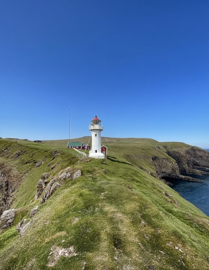
Tvøroyri is one of the two main towns on Suðuroy and serves as a practical base for exploration. The town has shops, cafés, grocery stores, and even a hospital, making it the most convenient location for supplies. From Tvøroyri, several short hikes are accessible. The walk to Froðbiarnakkur is easy and offers rewarding views northward.
A more substantial hike is Hvannhagi, considered by locals to be the island’s finest nature trail. The route takes about an hour each way and leads to a peaceful lake surrounded by dramatic cliffs. Hvannhagi is a balanced hike, combining manageable effort with striking scenery. Tvøroyri also hosts cultural attractions.
The SALT cultural house, located in a former salt warehouse, stages concerts and exhibitions, and includes a café. The town’s plantation is another point of interest, notable as one of the few wooded areas in the Faroe Islands. For those seeking a coastal experience, Tjaldavík lies within the same fjord.
This uninhabited area features a beach used by locals for swimming, despite the cold waters of the North Atlantic. The islet Tjaldavíksholmur lies offshore, adding to the scenic backdrop.
Froðba and Geological Features
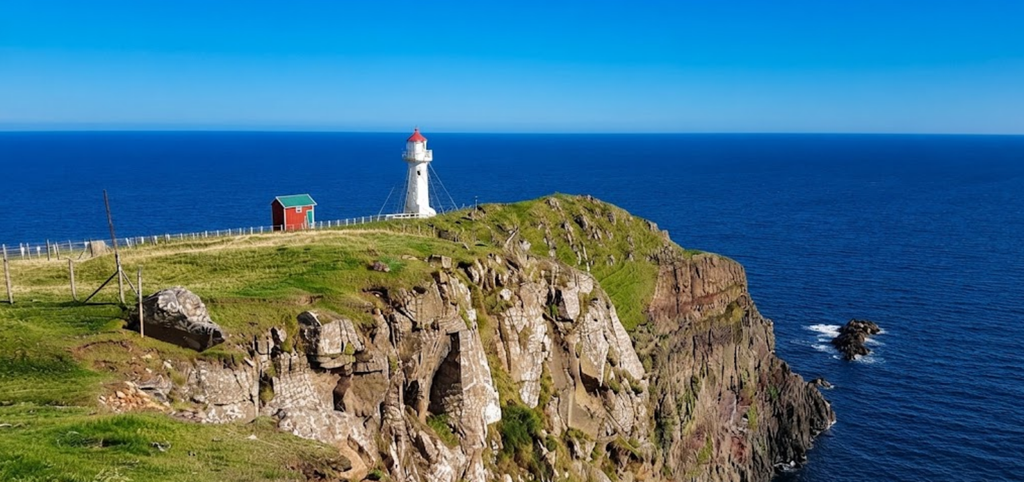
The village of Froðba, near Tvøroyri, is known for its geological formations. The basalt columns, locally called stabbagrót, are hexagonal in shape and resemble the famous Giant’s Causeway in Northern Ireland. These columns are located at Kúlugjógv gorge and are accessible by foot.
Nearby lies the cave “Holið í helli,” which requires a strenuous climb to reach. The cave is suitable only for fit travelers, but those who make the effort are rewarded with a unique natural site. Froðba illustrates the volcanic origins of the Faroe Islands and provides a different perspective on the island’s landscape.
Fámjin and Lake Kirkjuvatn
On the west coast lies Fámjin, the only village situated directly on this side of the island. Fámjin is notable for its scenic location, with views of the Atlantic stretching endlessly to the horizon. Above the village lies Lake Kirkjuvatn, one of the most beautiful lakes in the Faroe Islands.
The hike to the lake is moderate, and the surroundings are peaceful, making it a rewarding excursion. Fámjin combines cultural interest with natural beauty, as the village is also historically significant for being the place where the first Faroese flag was raised.
Hiking Considerations
Suðuroy is often promoted as a hiking destination, but travelers should be aware of the challenges. Many routes are steep, exposed, and subject to sudden changes in weather. Fog can roll in quickly, obscuring views and making paths hazardous. Wind is another factor, particularly on cliffside trails.
While guided hikes provide safety and local knowledge, independent travelers should exercise caution and avoid risky paths. The island’s terrain is not suitable for all visitors, especially those with limited mobility. For this reason, Suðuroy can feel overwhelming if approached as a series of consecutive hikes, and a balanced itinerary combining walking with cultural visits is recommended.
Practical Travel Notes
Exploring Suðuroy can be done in a single day with a car, but staying overnight allows for a more relaxed pace. Accommodation options are limited but sufficient for travelers seeking a quiet base. Weather conditions vary, and travelers should be prepared for rain, fog, and wind even in summer.
The island’s remoteness means fewer tourists, which adds to its appeal for those seeking solitude. However, the same remoteness requires careful planning, as services are sparse outside the main towns.
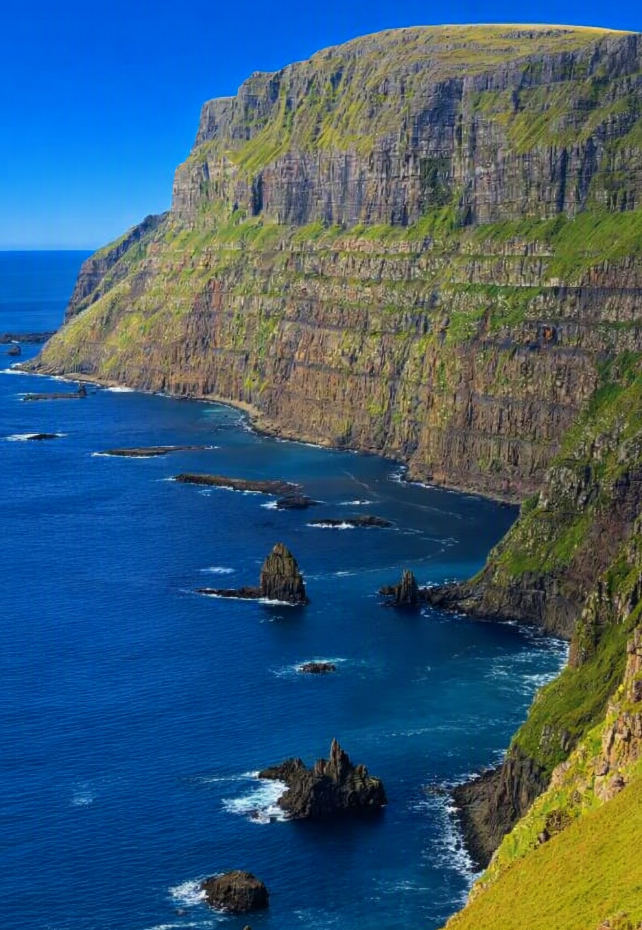
Suðuroy Island is a destination of contrasts. It offers some of the most dramatic scenery in the Faroe Islands, from sea stacks and basalt columns to remote lakes and cliffside bridges. At the same time, it demands physical effort and resilience from visitors.
For those prepared to meet its challenges, Suðuroy provides a rewarding experience, combining natural beauty with cultural depth. Whether visiting for a day or staying longer, travelers will find the island memorable, though not always easy. Suðuroy remains a remote outpost of Europe, a place where history, geology, and nature converge in striking fashion.