
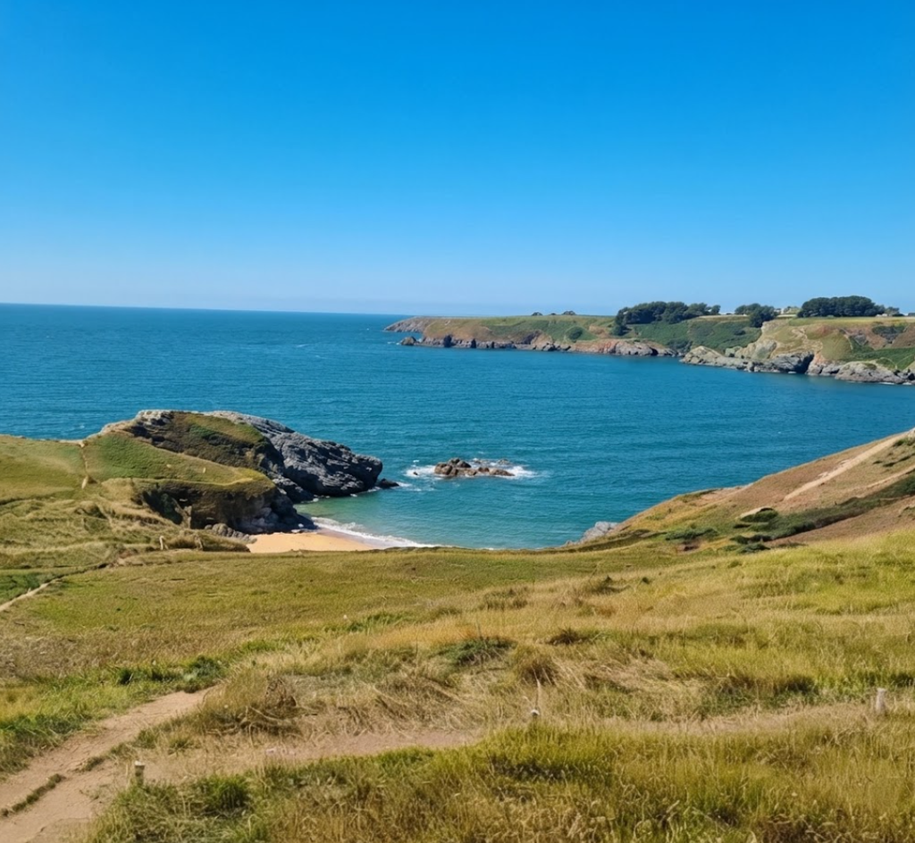
Belle-Île-en-Mer is the kind of place that lingers in memory long after you’ve left. Rising from the Atlantic just beyond the Quiberon peninsula, it is France’s second-largest island, yet it feels intimate, almost secretive. Its name — “the beautiful island in the sea” — is no exaggeration.
With 58 beaches, cliffs so dramatic that Claude Monet painted them obsessively, and four small towns where life still moves at a gentler pace, Belle-Île is a destination that rewards slow exploration.
Arrival and First Impressions
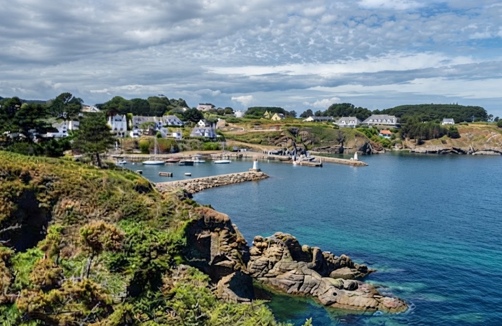
The ferry crossing from Quiberon takes less than an hour, but the transition feels greater. As the mainland fades, the island’s jagged silhouette comes into view: granite cliffs, green plateaus, and the colorful houses of Le Palais clustered around the harbor.
The Citadelle Vauban looms above, its massive curtain walls and moats a reminder of Belle-Île’s strategic importance. Half the island’s population lives here, yet the town retains a relaxed rhythm, with fishing boats bobbing in the tide and cafés spilling onto the quayside.
Hiking Belle‑Île: The GR 340 Coastal Trail
Belle‑Île‑en‑Mer is not a place to rush. Rising from the Atlantic off Brittany’s southern coast, it rewards those who slow down, lace up their boots, and follow the island’s perimeter on foot. The GR 340 coastal trail, looping 80 kilometers around its cliffs, coves, and heathlands, is the ultimate way to experience its shifting landscapes. Walking here is not just exercise; it is immersion in a geography that feels raw, exposed, and exhilarating.
Pointe des Poulains: A Lighthouse at the Edge
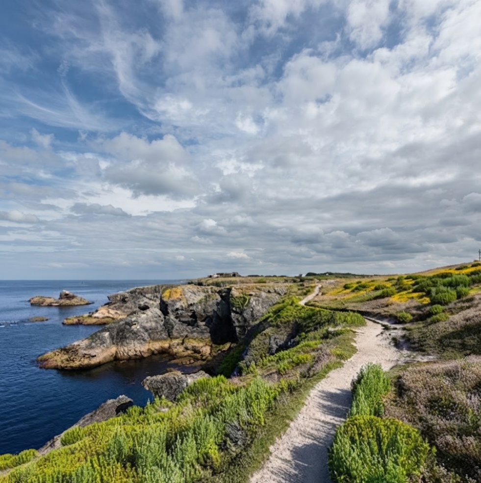
The journey begins at Pointe des Poulains, Belle‑Île’s northwestern tip. The lighthouse stands sentinel above the surf, its white tower stark against the blue Atlantic. At low tide, a tombolo of sand and rock emerges, allowing hikers to cross to the Poulains Islet. This small outcrop offers solitude and sweeping ocean views, a place where the horizon feels infinite.
The air is salted, the waves relentless, and the sense of standing at the edge of France is palpable.The lighthouse itself is more than a navigational aid. It has become a symbol of Belle‑Île’s wild coast, a reminder of the island’s relationship with the sea. From here, the GR 340 trail begins its southward journey, hugging cliffs that drop sharply into foaming water.
Heathland and Bird Reserves
Leaving Pointe des Poulains, the path winds through heathland that stretches to the horizon. In spring, wildflowers carpet the ground: gorse, heather, and orchids add bursts of color to the muted greens and browns. The air is alive with birdsong, and reserves like Koh Kastell protect species that thrive in this exposed environment.
Walking here is a study in contrasts. On one side, the Atlantic pounds the cliffs with relentless force; on the other, the heath rolls gently inland, dotted with farmhouses and stone walls. The trail feels both exposed and comforting, a reminder that Belle‑Île is shaped by extremes.
The Apothicairerie Cave
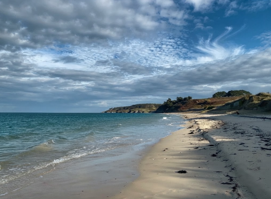
Further along, the GR 340 passes the Apothicairerie, a cave carved into the cliffs by centuries of waves. Its name recalls apothecaries, perhaps because the cave’s shelves of rock resemble jars lined up in a shop. Standing here, hikers look out over the heath and down into the churning sea.
It is a vantage point that dramatizes Belle‑Île’s geology: stone, sand, and grass layered in constant transition. The terrain itself shifts constantly. One moment the path is sandy, the next rocky, then grassy. Footwork must be careful, but the reward is a kaleidoscope of views. Every bend reveals a new perspective: a hidden cove, a stretch of heath, a cliff plunging into the Atlantic.
Sauzon and the Northern Coast
The walk south eventually leads to Sauzon, a harbor town where pastel houses reflect in the water. At low tide, boats sit grounded on the sand, a striking reminder of Belle‑Île’s tidal rhythms. Cafés line the quayside, serving kouign‑amann pastries that provide the perfect reward after hours of hiking.
Sauzon is also the gateway to Belle‑Île’s northern coves. Sheltered beaches hide between cliffs, offering calm swimming spots in contrast to the wild coast. For hikers, Sauzon is both a rest stop and a transition point, where the trail shifts from exposed cliffs to gentler bays.
Bangor and the Aiguilles de Port‑Coton
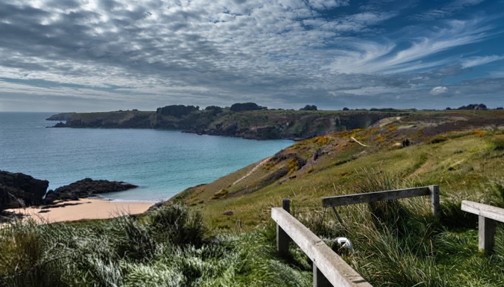
At the island’s center lies Bangor, quieter and more rural. Here, the coastline becomes truly dramatic. The Aiguilles de Port‑Coton are jagged rock spires rising from the sea, immortalized by Claude Monet in dozens of canvases. The waves crash against them with relentless force, sending spray high into the air.
This section of the GR 340 is rugged, with steep climbs and descents into coves. Trail runners find it particularly appealing, as the terrain demands strength and precision. For hikers, it is a chance to feel the raw power of the Atlantic up close. Standing at Port‑Coton, one understands why Monet returned again and again: the rocks change with every light, every tide, every storm.
Locmaria and the Southern Cliffs
In the southeast corner, Locmaria offers solitude and Belle‑Île’s highest cliffs. The fortins — small coastal forts — recall centuries of defense against English raids. The trails here are lined with tall grasses and shaded by bushes, leading to hidden beaches and bird reserves.
This is the island’s most challenging section, with ascents and descents that test endurance. Yet the reward is immense: panoramic views of the ocean, secluded coves, and a sense of being at the edge of the world. For many hikers, Locmaria is the climax of the GR 340, a place where the island feels most remote and most powerful.
Practical Notes for Hikers
Belle‑Île is 17 kilometers long and 9 kilometers wide, home to roughly 5,500 residents spread across its four communes. The GR 340 trail loops the island in full, but hikers can choose segments depending on time and stamina. Electric bikes are available for hire in Le Palais, and while roads are hilly, they provide access to trailheads.
The sweet spot for visiting is May, June, or September. The weather is warm enough for swimming, the light golden, and the crowds thin. July and August bring more visitors, so ferry tickets should be booked well in advance.
Why the GR 340 Defines Belle‑Île
Walking the GR 340 is not just about scenery. It is about rhythm: the rhythm of tides, of footsteps, of landscapes shifting from cliffs to coves to heath. In a single day, hikers can wander through a fortress, climb cliffs that inspired Monet, swim in turquoise coves, and eat pastries in a harbor town. For some, a day trip is enough: Pointe des Poulains, Sauzon, and Port‑Coton.
For others, two or three days allow time to hike longer stretches, linger in villages, and discover deserted beaches. For the truly adventurous, a full loop of the island offers 80 kilometers of wild coastline, a journey that reveals Belle‑Île’s full character.
Closing Reflection
Belle‑Île‑en‑Mer lives up to its name. It is beautiful, but more than that, it is authentic. The islanders are proud and welcoming, the landscapes diverse and dramatic, the pace of life slower. Whether you come for the hiking, the history, or simply the sea air, Belle‑Île leaves an impression that is hard to match.